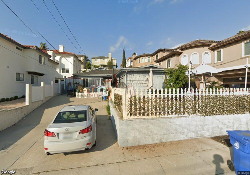
1925 Ruhland Ave Unit A Redondo Beach, CA 90278
North Redondo Beach NeighborhoodEstimated Value: $1,155,000 - $1,958,000
4
Beds
2
Baths
1,790
Sq Ft
$901/Sq Ft
Est. Value
About This Home
This home is located at 1925 Ruhland Ave Unit A, Redondo Beach, CA 90278 and is currently estimated at $1,612,550, approximately $900 per square foot. 1925 Ruhland Ave Unit A is a home located in Los Angeles County with nearby schools including Madison Elementary School, Adams Middle School, and Redondo Union High School.
Ownership History
Date
Name
Owned For
Owner Type
Purchase Details
Closed on
Nov 5, 2001
Sold by
Villagrana Javier and Villagrana Lucia
Bought by
Villagrana Monica
Current Estimated Value
Home Financials for this Owner
Home Financials are based on the most recent Mortgage that was taken out on this home.
Original Mortgage
$263,000
Interest Rate
6.62%
Create a Home Valuation Report for This Property
The Home Valuation Report is an in-depth analysis detailing your home's value as well as a comparison with similar homes in the area
Home Values in the Area
Average Home Value in this Area
Purchase History
| Date | Buyer | Sale Price | Title Company |
|---|---|---|---|
| Villagrana Monica | -- | Chicago Title |
Source: Public Records
Mortgage History
| Date | Status | Borrower | Loan Amount |
|---|---|---|---|
| Closed | Villagrana Monica | $263,000 |
Source: Public Records
Tax History Compared to Growth
Tax History
| Year | Tax Paid | Tax Assessment Tax Assessment Total Assessment is a certain percentage of the fair market value that is determined by local assessors to be the total taxable value of land and additions on the property. | Land | Improvement |
|---|---|---|---|---|
| 2025 | $7,611 | $555,063 | $440,237 | $114,826 |
| 2024 | $7,611 | $544,180 | $431,605 | $112,575 |
| 2023 | $7,485 | $533,511 | $423,143 | $110,368 |
| 2022 | $7,305 | $523,051 | $414,847 | $108,204 |
| 2021 | $7,086 | $512,796 | $406,713 | $106,083 |
| 2020 | $7,045 | $507,539 | $402,543 | $104,996 |
| 2019 | $6,872 | $497,588 | $394,650 | $102,938 |
| 2018 | $6,556 | $487,832 | $386,912 | $100,920 |
| 2016 | $6,336 | $468,891 | $371,889 | $97,002 |
| 2015 | $6,231 | $461,848 | $366,303 | $95,545 |
| 2014 | $6,143 | $452,802 | $359,128 | $93,674 |
Source: Public Records
Map
Nearby Homes
- 2005 Mathews Ave Unit A
- 615 Aviation Way
- 1756 Ruhland Ave
- 1902 Gates Ave
- 2021 Curtis Ave
- 2014 Gates Ave Unit A
- 2001 Artesia Blvd Unit 301
- 2001 Artesia Blvd Unit 207
- 207 S Aviation Blvd
- 2106 Nelson Ave Unit A
- 2113 Voorhees Ave Unit D
- 2700 Aviation Blvd
- 1900 Vanderbilt Ln
- 2016 Robinson St
- 2021 Carnegie Ln Unit 7
- 2213 Nelson Ave
- 2206 Gates Ave
- 2206 Gates Ave Unit B
- 2206 Gates Ave Unit A
- 2002 Carnegie Ln Unit A
- 1927 Ruhland Ave
- 1923 Ruhland Ave Unit B
- 1923 Ruhland Ave Unit A
- 1921 Ruhland Ave Unit B
- 1921 Ruhland Ave
- 1929 Ruhland Ave Unit B
- 1929 Ruhland Ave Unit A
- 1926 Voorhees Ave Unit B
- 1926 Voorhees Ave Unit A
- 1931 Ruhland Ave
- 1919 Ruhland Ave Unit B
- 1919 Ruhland Ave Unit A
- 1924 Ruhland Ave Unit B
- 1924 Ruhland Ave Unit A
- 1920 Voorhees Ave
- 1920 Voorhees Ave Unit 5
- 1920 Voorhees Ave Unit 4
- 1920 Voorhees Ave Unit 3
- 1920 Voorhees Ave Unit 2
- 1920 Voorhees Ave Unit 1