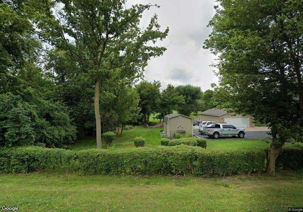
1925 S Tecumseh Rd Springfield, OH 45502
Estimated Value: $298,000 - $382,641
3
Beds
3
Baths
1,809
Sq Ft
$182/Sq Ft
Est. Value
About This Home
This home is located at 1925 S Tecumseh Rd, Springfield, OH 45502 and is currently estimated at $329,160, approximately $181 per square foot. 1925 S Tecumseh Rd is a home located in Clark County with nearby schools including Greenon Elementary School, Greenon Jr. High School, and Greenon High School.
Ownership History
Date
Name
Owned For
Owner Type
Purchase Details
Closed on
Mar 17, 2011
Sold by
Hobbs Joseph P C and Hobbs Brenda R
Bought by
Miller Karl B
Current Estimated Value
Purchase Details
Closed on
Oct 28, 2010
Sold by
Byrum Jason
Bought by
Hobbs Joseph P C and Hobbs Brenda R
Purchase Details
Closed on
Oct 26, 2009
Sold by
Young Dennis and Young Bessie Marie
Bought by
Byrum Jason
Create a Home Valuation Report for This Property
The Home Valuation Report is an in-depth analysis detailing your home's value as well as a comparison with similar homes in the area
Purchase History
| Date | Buyer | Sale Price | Title Company |
|---|---|---|---|
| Miller Karl B | -- | Attorney | |
| Hobbs Joseph P C | $125,000 | Ohio Real Estate Title | |
| Byrum Jason | $154,000 | Team Title & Closing Service |
Source: Public Records
Tax History
| Year | Tax Paid | Tax Assessment Tax Assessment Total Assessment is a certain percentage of the fair market value that is determined by local assessors to be the total taxable value of land and additions on the property. | Land | Improvement |
|---|---|---|---|---|
| 2025 | $5,166 | $109,130 | $28,250 | $80,880 |
| 2024 | $5,044 | $96,110 | $28,620 | $67,490 |
| 2023 | $5,044 | $96,110 | $28,620 | $67,490 |
| 2022 | $5,039 | $96,110 | $28,620 | $67,490 |
| 2021 | $4,185 | $70,760 | $20,740 | $50,020 |
| 2020 | $4,195 | $70,760 | $20,740 | $50,020 |
| 2019 | $4,253 | $70,760 | $20,740 | $50,020 |
| 2018 | $4,012 | $65,250 | $19,010 | $46,240 |
| 2017 | $4,021 | $65,248 | $19,009 | $46,239 |
| 2016 | $3,506 | $65,248 | $19,009 | $46,239 |
| 2015 | $3,162 | $56,770 | $17,283 | $39,487 |
| 2014 | $3,168 | $56,770 | $17,283 | $39,487 |
| 2013 | $2,788 | $56,770 | $17,283 | $39,487 |
Source: Public Records
Map
Nearby Homes
- 2925 S Tecumseh Rd
- 3183 Lower Valley Pike
- 206 S Tecumseh Rd
- 100 Green Valley Dr
- 303 E Main St
- 141 N Xenia Dr
- 3434 Killdeer Dr
- 128 Ravenwood Dr
- 3190 Rebert Pike
- 4909 Shannon Ave
- 169 E Main St
- 1513 Ridgeway Dr
- 3924 Schenley St
- 3319 Wendover St
- 3864 Quailhollow Ct
- 4461 New Carlisle Pike
- 1290 Red Oaks Cir
- 4024 Raymond Dr
- 3267 Lower Valley Pike Unit Tract 2
- 22 W Main St
- 1945 S Tecumseh Rd
- 1891 S Tecumseh Rd
- 1857 S Tecumseh Rd
- 1825 S Tecumseh Rd
- 1924 S Tecumseh Rd
- 1985 S Tecumseh Rd
- 1822 S Tecumseh Rd
- 1980 Snyderville Rd
- 1743 S Tecumseh Rd
- 1984 S Tecumseh Rd
- 1862 S Tecumseh Rd
- 1794 Snyderville Rd
- 2000 S Tecumseh Rd
- 2040 Snyderville Rd
- 2041 S Tecumseh Rd
- 5411 Harshman Rd
- 1939 Snyderville Rd
- 2030 S Tecumseh Rd
- 1867 Snyderville Rd
- 1833 Snyderville Rd
Your Personal Tour Guide
Ask me questions while you tour the home.