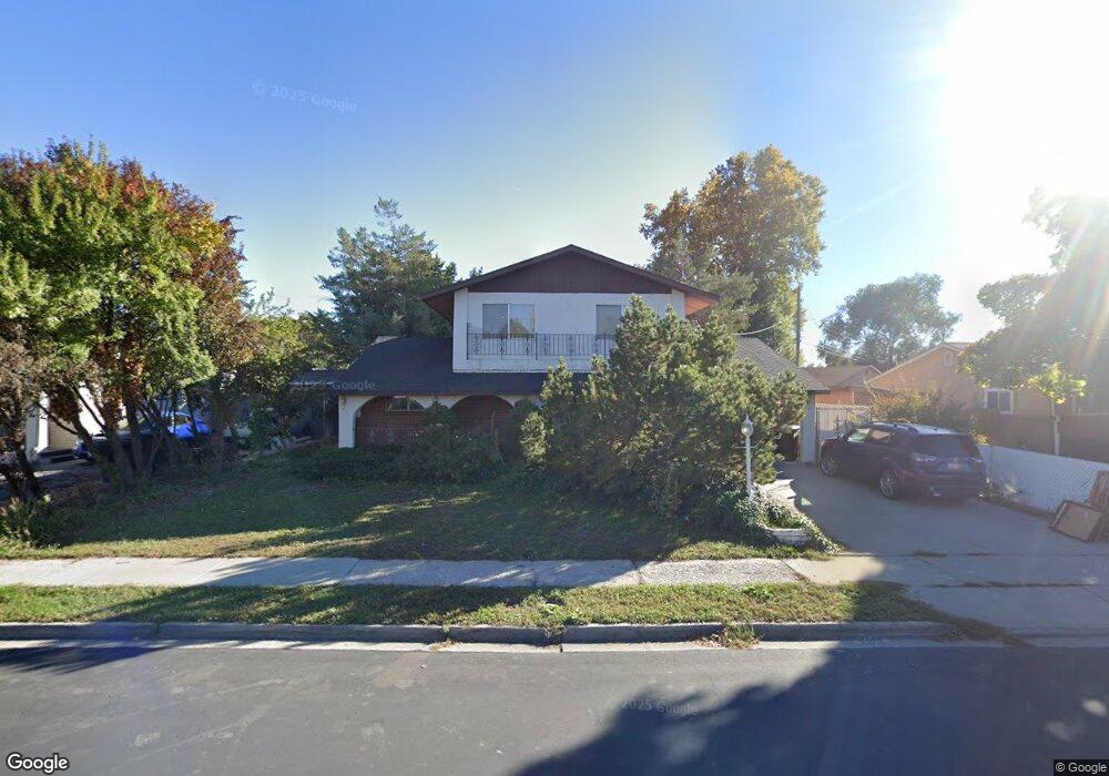
1925 W 70 S Provo, UT 84601
Franklin NeighborhoodEstimated Value: $455,934 - $481,000
3
Beds
2
Baths
2,610
Sq Ft
$179/Sq Ft
Est. Value
About This Home
This home is located at 1925 W 70 S, Provo, UT 84601 and is currently estimated at $466,311, approximately $178 per square foot. 1925 W 70 S is a home located in Utah County with nearby schools including Dixon Middle School, Provo High School, and Freedom Preparatory Academy.
Ownership History
Date
Name
Owned For
Owner Type
Purchase Details
Closed on
Oct 9, 2014
Sold by
Oakwood Homes Of Utah Llc
Bought by
Wakefield Todd
Current Estimated Value
Purchase Details
Closed on
Sep 5, 2003
Sold by
Ivie Donetta L and King Donetta L
Bought by
Barksdale Laura
Home Financials for this Owner
Home Financials are based on the most recent Mortgage that was taken out on this home.
Original Mortgage
$132,950
Interest Rate
5.37%
Mortgage Type
Purchase Money Mortgage
Create a Home Valuation Report for This Property
The Home Valuation Report is an in-depth analysis detailing your home's value as well as a comparison with similar homes in the area
Home Values in the Area
Average Home Value in this Area
Purchase History
| Date | Buyer | Sale Price | Title Company |
|---|---|---|---|
| Wakefield Todd | -- | Bartlett Title Ins Agency | |
| Barksdale Laura | -- | Security Title & Abstract |
Source: Public Records
Mortgage History
| Date | Status | Borrower | Loan Amount |
|---|---|---|---|
| Previous Owner | Barksdale Laura | $132,950 |
Source: Public Records
Tax History
| Year | Tax Paid | Tax Assessment Tax Assessment Total Assessment is a certain percentage of the fair market value that is determined by local assessors to be the total taxable value of land and additions on the property. | Land | Improvement |
|---|---|---|---|---|
| 2025 | $2,091 | $219,945 | -- | -- |
| 2024 | $2,091 | $205,810 | $0 | $0 |
| 2023 | $2,089 | $202,730 | $0 | $0 |
| 2022 | $2,239 | $219,065 | $0 | $0 |
| 2021 | $1,775 | $303,000 | $86,800 | $216,200 |
| 2020 | $1,721 | $275,400 | $78,900 | $196,500 |
| 2019 | $1,512 | $251,500 | $78,900 | $172,600 |
| 2018 | $1,316 | $222,100 | $72,000 | $150,100 |
| 2017 | $1,162 | $107,745 | $0 | $0 |
| 2016 | $1,160 | $100,210 | $0 | $0 |
| 2015 | $1,147 | $100,155 | $0 | $0 |
| 2014 | $974 | $88,660 | $0 | $0 |
Source: Public Records
Map
Nearby Homes
- 146 S 1860 W
- 312 S 1920 W
- 213 N Geneva Rd
- 1631 W 50 N
- 255 N 1600 W Unit 148
- 255 N 1600 W Unit 108
- 255 N 1600 W Unit 94
- 255 N 1600 W Unit 73
- 89 S 1530 W
- 1505 W 100 S
- 1541 W Lane Ct
- 249 West Ln Unit 10
- 1774 W 520 S
- 2424 W 230 S
- 2471 W 180 S
- 1309 Westbridge Cir
- 154 N 2560 W
- 579 N Geneva Rd
- 1375 W 500 N Unit 95
- 218 N 1280 W
Your Personal Tour Guide
Ask me questions while you tour the home.