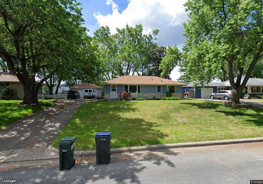
1925 W 92nd St Minneapolis, MN 55431
West Bloomington NeighborhoodEstimated Value: $346,073 - $378,000
4
Beds
2
Baths
1,056
Sq Ft
$344/Sq Ft
Est. Value
About This Home
This home is located at 1925 W 92nd St, Minneapolis, MN 55431 and is currently estimated at $363,518, approximately $344 per square foot. 1925 W 92nd St is a home located in Hennepin County with nearby schools including Washburn Elementary School, Valley View Middle School, and Kennedy Senior High School.
Ownership History
Date
Name
Owned For
Owner Type
Purchase Details
Closed on
Oct 3, 2020
Sold by
Lea Tammy and Guinee Tammy Lea
Bought by
Guinee Michael Alan
Current Estimated Value
Purchase Details
Closed on
Sep 25, 1998
Sold by
Reiber Michael T and Reiber Linel D
Bought by
Guinee Michael A and Guinee Tammy L
Create a Home Valuation Report for This Property
The Home Valuation Report is an in-depth analysis detailing your home's value as well as a comparison with similar homes in the area
Home Values in the Area
Average Home Value in this Area
Purchase History
| Date | Buyer | Sale Price | Title Company |
|---|---|---|---|
| Guinee Michael Alan | -- | None Available | |
| Guinee Michael A | $127,000 | -- |
Source: Public Records
Tax History Compared to Growth
Tax History
| Year | Tax Paid | Tax Assessment Tax Assessment Total Assessment is a certain percentage of the fair market value that is determined by local assessors to be the total taxable value of land and additions on the property. | Land | Improvement |
|---|---|---|---|---|
| 2024 | $3,567 | $291,700 | $109,000 | $182,700 |
| 2023 | $3,283 | $282,200 | $99,500 | $182,700 |
| 2022 | $3,132 | $283,100 | $104,000 | $179,100 |
| 2021 | $2,768 | $256,000 | $105,700 | $150,300 |
| 2020 | $2,932 | $231,500 | $94,900 | $136,600 |
| 2019 | $2,711 | $237,400 | $111,600 | $125,800 |
| 2018 | $2,602 | $217,900 | $105,100 | $112,800 |
| 2017 | $2,262 | $183,800 | $83,800 | $100,000 |
| 2016 | $2,201 | $171,900 | $78,000 | $93,900 |
| 2015 | $2,155 | $163,300 | $76,600 | $86,700 |
| 2014 | -- | $150,300 | $74,200 | $76,100 |
Source: Public Records
Map
Nearby Homes
- 9149 Queen Ave S
- 2101 W 89th St
- 2300 W 95th St
- 8836 James Ave S
- 8831 Queen Ave S
- 9609 Vincent Ave S
- 1706 W 86th St
- 8545 Penn Ave S
- 8525 Penn Ave S
- 8706 Aldrich Ave S
- 9824 Fremont Ave S
- 9522 Pleasant Ave S
- 9020 Blaisdell Ave S
- 2113 Village Terrace
- 8212 Fremont Ave S Unit D
- 2225 Village Terrace
- 8264 York Ave S
- 3801 W 98th St Unit 402
- 8114 Emerson Ave S
- 8117 Xerxes Cir
- 1917 W 92nd St
- 2001 W 92nd St
- 2009 W 92nd St
- 9141 Morgan Ave S
- 9140 Morgan Ave S
- 9140 Logan Ave S
- 2017 W 92nd St
- 1901 W 92nd St
- 9133 Morgan Ave S
- 9132 Logan Ave S
- 1825 W 92nd St
- 2025 W 92nd St
- 9125 Morgan Ave S
- 9141 Newton Ave S
- 9124 Morgan Ave S
- 9124 Logan Ave S
- 9133 Newton Ave S
- 9141 Logan Ave S
- 1817 W 92nd St
- 2101 W 92nd St