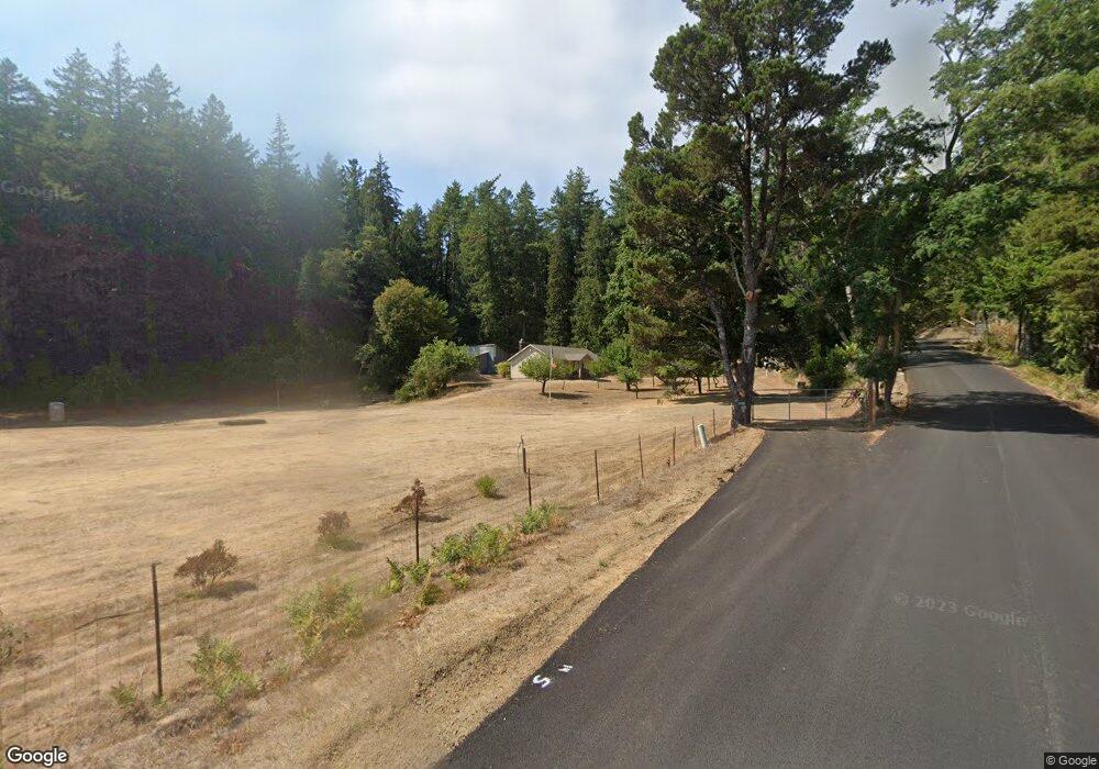
19250 Derrick Rd Cloverdale, OR 97112
Estimated Value: $411,000 - $497,098
1
Bed
1
Bath
1,150
Sq Ft
$395/Sq Ft
Est. Value
About This Home
This home is located at 19250 Derrick Rd, Cloverdale, OR 97112 and is currently estimated at $453,699, approximately $394 per square foot. 19250 Derrick Rd is a home located in Tillamook County with nearby schools including Nestucca K-8 School and Nestucca High School.
Ownership History
Date
Name
Owned For
Owner Type
Purchase Details
Closed on
Aug 14, 2012
Sold by
Philpott Kathy
Bought by
Dailey Lauren D and Rippy Roger
Current Estimated Value
Home Financials for this Owner
Home Financials are based on the most recent Mortgage that was taken out on this home.
Original Mortgage
$50,000
Outstanding Balance
$34,458
Interest Rate
3.56%
Mortgage Type
New Conventional
Estimated Equity
$419,241
Create a Home Valuation Report for This Property
The Home Valuation Report is an in-depth analysis detailing your home's value as well as a comparison with similar homes in the area
Home Values in the Area
Average Home Value in this Area
Purchase History
| Date | Buyer | Sale Price | Title Company |
|---|---|---|---|
| Dailey Lauren D | $41,315 | Fidelity Natl Title Co Of Or |
Source: Public Records
Mortgage History
| Date | Status | Borrower | Loan Amount |
|---|---|---|---|
| Open | Dailey Lauren D | $50,000 |
Source: Public Records
Tax History Compared to Growth
Tax History
| Year | Tax Paid | Tax Assessment Tax Assessment Total Assessment is a certain percentage of the fair market value that is determined by local assessors to be the total taxable value of land and additions on the property. | Land | Improvement |
|---|---|---|---|---|
| 2024 | $1,536 | $128,843 | $55,723 | $73,120 |
| 2023 | $1,524 | $125,208 | $54,218 | $70,990 |
| 2022 | $1,469 | $121,690 | $52,760 | $68,930 |
| 2021 | $1,426 | $118,268 | $51,338 | $66,930 |
| 2020 | $1,395 | $114,953 | $49,963 | $64,990 |
| 2019 | $1,368 | $111,734 | $48,624 | $63,110 |
| 2018 | $1,266 | $108,612 | $47,332 | $61,280 |
| 2017 | $1,139 | $105,574 | $46,074 | $59,500 |
| 2016 | $154 | $9,550 | $9,550 | $0 |
| 2015 | $152 | $9,272 | $9,272 | $0 |
| 2014 | $148 | $9,002 | $9,002 | $0 |
| 2013 | -- | $8,740 | $8,740 | $0 |
Source: Public Records
Map
Nearby Homes
- TL 2003 Derrick Rd
- TL 2004 Derrick Rd
- 0 Vl Galloway Rd
- 0 Galloway Rd Unit 2001, 2200 25-438
- VL Galloway Rd
- 24720 Sandlake Rd
- 0 Sandlake Rd Unit 1207
- 0 Sandlake Rd Unit 25-541
- 26230 Sandlake Rd
- 26305 Sandlake Rd
- 11250 Whiskey Creek Rd
- 5825 Roma Ave
- 5785 Holly Ave
- Lot 76 Megan's View Point
- 18940 Blanchard Rd
- 17805 Highway 101 S
- 29920 Nantucket Dr
- 16915 U S 101 S
- 20600 U S 101
- 6290 S View Loop
- 19235 Derrick Rd
- 19900 Derrick Rd
- 19900 Derrick Rd
- 8975 Sandy Heights Rd
- 20000 Derrick Rd
- 20000 Derrick Rd
- 19835 Derrick Rd
- 20105 Derrick Rd
- Lot 708 Derrick Rd
- 18983 ?? Derrick Rd
- 20285 Derrick Rd
- 0 Tl 503 Cape Lookout Unit 22-1744
- 18300 Cape Lookout Rd
- 0 Vl 503 Cape Lookout Rd
- 20350 Derrick Rd
- 0 Tl 501 Cape Lookout Unit 22-1743
- 20460 Derrick Rd
- 0 Derrick Rd Unit 595629542
- 0 Derrick Rd Unit 2004 528825022
- 0 Derrick Rd Unit 2003 497197372