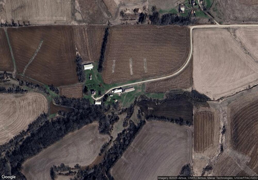
19252 270th St Elkader, IA 52043
Estimated Value: $226,000 - $549,000
4
Beds
1
Bath
2,208
Sq Ft
$162/Sq Ft
Est. Value
About This Home
This home is located at 19252 270th St, Elkader, IA 52043 and is currently estimated at $358,512, approximately $162 per square foot. 19252 270th St is a home located in Clayton County with nearby schools including Central Elementary School and Central Middle School/High School.
Ownership History
Date
Name
Owned For
Owner Type
Purchase Details
Closed on
Feb 12, 2025
Sold by
Bahls Richard L and Bahls Karon E
Bought by
Bahls Douglas R and Bahls Michael L
Current Estimated Value
Home Financials for this Owner
Home Financials are based on the most recent Mortgage that was taken out on this home.
Original Mortgage
$100,000
Outstanding Balance
$99,322
Interest Rate
6.93%
Estimated Equity
$259,190
Create a Home Valuation Report for This Property
The Home Valuation Report is an in-depth analysis detailing your home's value as well as a comparison with similar homes in the area
Home Values in the Area
Average Home Value in this Area
Purchase History
| Date | Buyer | Sale Price | Title Company |
|---|---|---|---|
| Bahls Douglas R | $750,000 | None Listed On Document |
Source: Public Records
Mortgage History
| Date | Status | Borrower | Loan Amount |
|---|---|---|---|
| Open | Bahls Douglas R | $100,000 | |
| Open | Bahls Douglas R | $375,000 |
Source: Public Records
Tax History Compared to Growth
Tax History
| Year | Tax Paid | Tax Assessment Tax Assessment Total Assessment is a certain percentage of the fair market value that is determined by local assessors to be the total taxable value of land and additions on the property. | Land | Improvement |
|---|---|---|---|---|
| 2025 | $1,980 | $191,341 | $52,109 | $139,232 |
| 2024 | $1,992 | $157,911 | $42,969 | $114,942 |
| 2023 | $1,944 | $157,911 | $42,969 | $114,942 |
| 2022 | $1,850 | $122,001 | $34,886 | $87,115 |
| 2021 | $1,784 | $125,697 | $38,582 | $87,115 |
| 2020 | $1,784 | $118,986 | $38,255 | $80,731 |
| 2019 | $1,754 | $118,986 | $38,255 | $80,731 |
| 2018 | $1,754 | $134,723 | $54,604 | $80,119 |
| 2017 | $1,708 | $134,723 | $54,604 | $80,119 |
| 2015 | $1,488 | $136,484 | $65,774 | $70,710 |
| 2014 | $1,472 | $132,403 | $61,192 | $71,211 |
Source: Public Records
Map
Nearby Homes
- 27766 Highway 13
- 209 2nd St SW
- 301 N 1st St
- 117 S Main St
- 710 Woodland Dr NW
- 707 N Main St
- 702 N Main St
- 302 N 3rd St
- 0 E Bridge St
- 247 Franzen Ridge Rd
- 249 Franzen Ridge Rd
- 14149 Iowa 56
- 0 Grandview Rd
- TBD Birch Rd
- 0 13 Hwy Unit NBR20255145
- 27455 Harbor Rd
- TBD Country Rd
- 10766 Bush Rd
- 305 S Russell St
- Tbd Acorn Rd