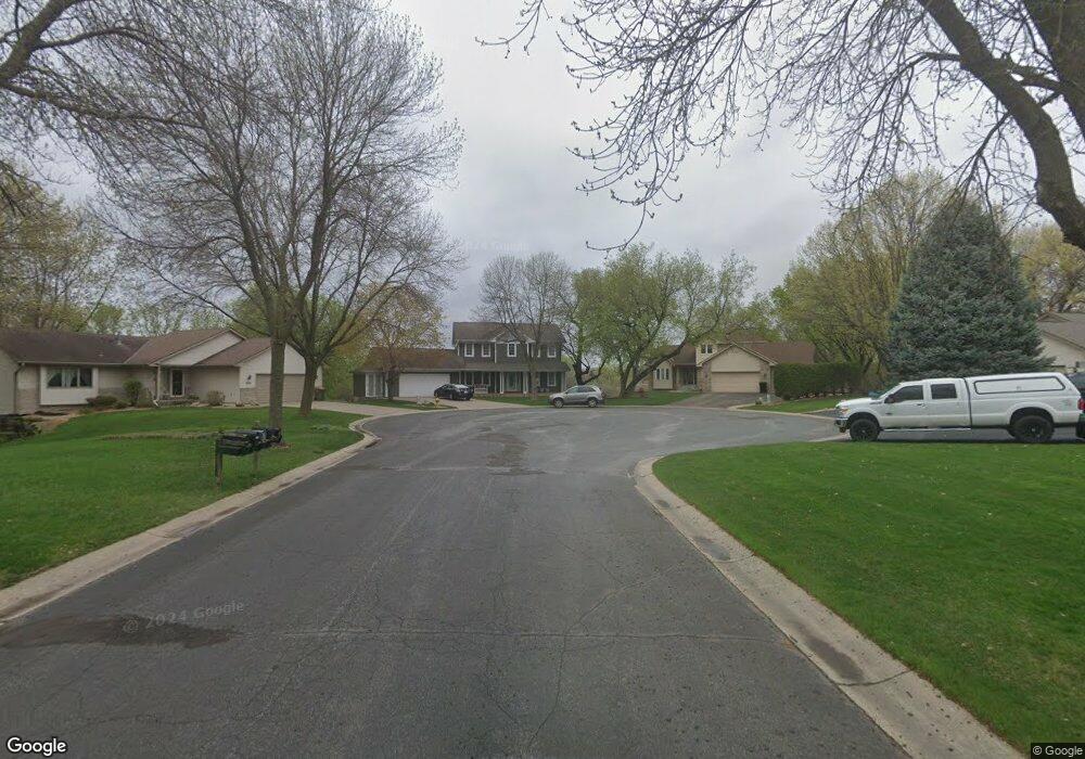
1926 127th Cir NW Coon Rapids, MN 55448
Estimated Value: $457,000 - $551,895
3
Beds
4
Baths
2,336
Sq Ft
$221/Sq Ft
Est. Value
About This Home
This home is located at 1926 127th Cir NW, Coon Rapids, MN 55448 and is currently estimated at $515,224, approximately $220 per square foot. 1926 127th Cir NW is a home located in Anoka County with nearby schools including Lucile Bruner Elementary School, Morris Bye Elementary School, and Laughlin Junior/Senior High School.
Ownership History
Date
Name
Owned For
Owner Type
Purchase Details
Closed on
Feb 7, 1997
Sold by
Smith Steven and Smith Constance
Bought by
Brinda Gerald and Brinda Kathleen
Current Estimated Value
Purchase Details
Closed on
Jun 24, 1996
Sold by
Stanton James M and Stanton Diane M
Bought by
Smith Steven C and Smith Constance K
Create a Home Valuation Report for This Property
The Home Valuation Report is an in-depth analysis detailing your home's value as well as a comparison with similar homes in the area
Home Values in the Area
Average Home Value in this Area
Purchase History
| Date | Buyer | Sale Price | Title Company |
|---|---|---|---|
| Brinda Gerald | $251,900 | -- | |
| Smith Steven C | $245,000 | -- |
Source: Public Records
Tax History Compared to Growth
Tax History
| Year | Tax Paid | Tax Assessment Tax Assessment Total Assessment is a certain percentage of the fair market value that is determined by local assessors to be the total taxable value of land and additions on the property. | Land | Improvement |
|---|---|---|---|---|
| 2025 | $5,904 | $529,900 | $108,700 | $421,200 |
| 2024 | $5,904 | $518,300 | $105,000 | $413,300 |
| 2023 | $5,361 | $518,800 | $86,900 | $431,900 |
| 2022 | $4,713 | $513,400 | $86,900 | $426,500 |
| 2021 | $4,595 | $420,900 | $61,700 | $359,200 |
| 2020 | $4,728 | $401,000 | $61,700 | $339,300 |
| 2019 | $4,506 | $393,200 | $61,700 | $331,500 |
| 2018 | $5,550 | $451,600 | $0 | $0 |
| 2017 | $4,883 | $430,500 | $0 | $0 |
| 2016 | $4,957 | $370,000 | $0 | $0 |
| 2015 | -- | $370,000 | $55,000 | $315,000 |
| 2014 | -- | $315,400 | $38,900 | $276,500 |
Source: Public Records
Map
Nearby Homes
- 1930 127th Cir NW
- 12888 Nightingale St NW
- 12759 Ibis St NW
- 12554 Grouse St NW
- 12760 Raven St NW
- 2147 125th Ln NW
- 1593 126th Ln NW
- 2068 124th Ln NW
- 12365 Jay St NW
- 1520 129th Ave NW
- 1687 131st Ln NW
- 1450 126th Ln NW
- 1776 133rd Ave NW
- 12463 Drake St NW
- 1727 121st Ln NW
- 1234 128th Cir NW
- 13416 Swallow St NW
- 2675 128th Ave NW
- 13519 Partridge Cir NW
- 13182 Zion St NW
- 1922 127th Cir NW
- 1918 127th Cir NW
- 1934 127th Cir NW
- 1938 127th Cir NW
- 1914 127th Cir NW
- 12730 Nightingale St NW
- 12740 Nightingale St NW
- 1948 127th Ln NW
- 12750 Nightingale St NW
- 12720 Nightingale St NW
- 1941 127th Ln NW
- 1931 Main St NW
- 1931 Main St NW
- 1945 127th Ln NW
- 1958 127th Ln NW
- 1909 127th Ln NW
- 1905 127th Ln NW
- 1955 127th Ln NW
- 1951 127th Ave NW
- 1901 127th Ln NW