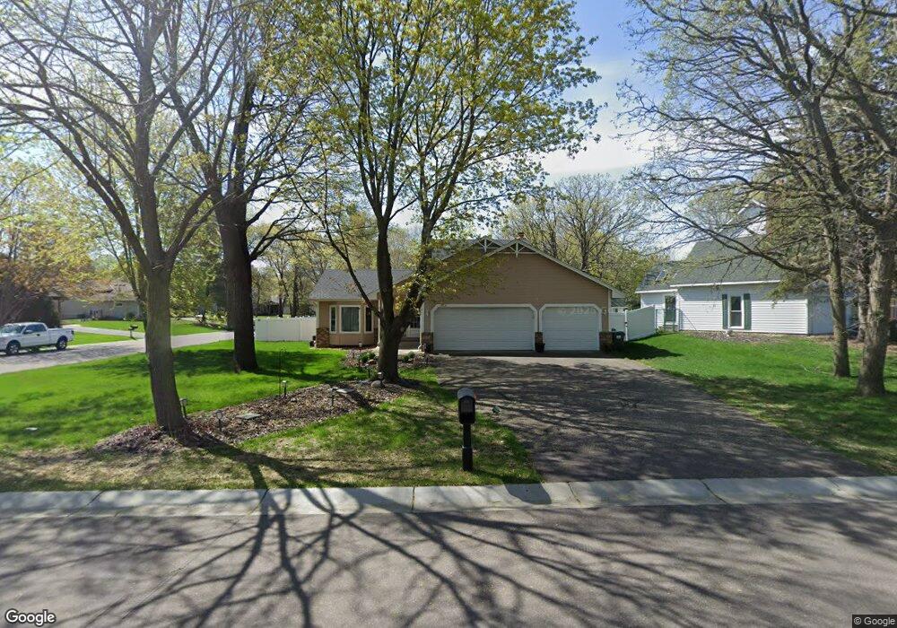
1926 130th Ln NW Coon Rapids, MN 55448
Estimated Value: $380,691 - $423,000
3
Beds
3
Baths
1,459
Sq Ft
$277/Sq Ft
Est. Value
About This Home
This home is located at 1926 130th Ln NW, Coon Rapids, MN 55448 and is currently estimated at $404,673, approximately $277 per square foot. 1926 130th Ln NW is a home located in Anoka County with nearby schools including Lucile Bruner Elementary School, Morris Bye Elementary School, and Laughlin Junior/Senior High School.
Ownership History
Date
Name
Owned For
Owner Type
Purchase Details
Closed on
Sep 24, 2007
Sold by
Schirer Marc D and Schirer Linda L
Bought by
Dibble Joseph K and Dibble Raven I
Current Estimated Value
Home Financials for this Owner
Home Financials are based on the most recent Mortgage that was taken out on this home.
Original Mortgage
$156,000
Outstanding Balance
$100,276
Interest Rate
6.87%
Mortgage Type
Adjustable Rate Mortgage/ARM
Estimated Equity
$304,397
Purchase Details
Closed on
Sep 27, 2000
Sold by
Heig Terry and Heig Janet
Bought by
Schirer Marc and Schirer Linda
Create a Home Valuation Report for This Property
The Home Valuation Report is an in-depth analysis detailing your home's value as well as a comparison with similar homes in the area
Home Values in the Area
Average Home Value in this Area
Purchase History
| Date | Buyer | Sale Price | Title Company |
|---|---|---|---|
| Dibble Joseph K | $250,000 | -- | |
| Schirer Marc | $199,900 | -- |
Source: Public Records
Mortgage History
| Date | Status | Borrower | Loan Amount |
|---|---|---|---|
| Open | Dibble Joseph K | $156,000 |
Source: Public Records
Tax History Compared to Growth
Tax History
| Year | Tax Paid | Tax Assessment Tax Assessment Total Assessment is a certain percentage of the fair market value that is determined by local assessors to be the total taxable value of land and additions on the property. | Land | Improvement |
|---|---|---|---|---|
| 2025 | $4,005 | $373,200 | $90,000 | $283,200 |
| 2024 | $4,005 | $369,000 | $87,000 | $282,000 |
| 2023 | $4,095 | $359,900 | $72,000 | $287,900 |
| 2022 | $3,363 | $372,700 | $72,000 | $300,700 |
| 2021 | $3,936 | $298,200 | $56,000 | $242,200 |
| 2020 | $3,767 | $286,900 | $56,000 | $230,900 |
| 2019 | $3,187 | $273,000 | $56,000 | $217,000 |
| 2018 | $3,035 | $255,100 | $0 | $0 |
| 2017 | $2,693 | $234,600 | $0 | $0 |
| 2016 | $2,775 | $204,500 | $0 | $0 |
| 2015 | $2,714 | $204,500 | $50,000 | $154,500 |
| 2014 | -- | $172,100 | $35,400 | $136,700 |
Source: Public Records
Map
Nearby Homes
- 12759 Ibis St NW
- 1687 131st Ln NW
- 1776 133rd Ave NW
- 1930 127th Cir NW
- 12760 Raven St NW
- 1520 129th Ave NW
- 13416 Swallow St NW
- 12554 Grouse St NW
- 1593 126th Ln NW
- 2147 125th Ln NW
- 13519 Partridge Cir NW
- 1450 126th Ln NW
- 2068 124th Ln NW
- 12365 Jay St NW
- 13182 Zion St NW
- 1234 128th Cir NW
- 12463 Drake St NW
- 2270 137th Ln NW
- 2675 128th Ave NW
- 2740 132nd Ln NW
- 1934 130th Ln NW
- 12998 Martin St NW
- 13049 Martin St NW
- 1948 130th Ln NW
- 13035 Martin St NW
- 12992 Martin St NW
- 1921 130th Ln NW
- 13021 Martin St NW
- 1913 130th Ln NW
- 1929 130th Ln NW
- 1945 130th Ln NW
- 1956 130th Ln NW
- 1905 130th Ln NW
- 12986 Martin St NW
- 1953 130th Ln NW
- 13007 Martin St NW
- 13050 Linnet St NW
- 13000 Linnet St NW
- 1897 130th Ln NW
- 1920 131st Ave NW