1926 Dolly Varden Cir Anchorage, AK 99516
Huffman-O'Malley NeighborhoodEstimated Value: $573,000 - $802,000
5
Beds
4
Baths
2,436
Sq Ft
$297/Sq Ft
Est. Value
About This Home
This home is located at 1926 Dolly Varden Cir, Anchorage, AK 99516 and is currently estimated at $723,223, approximately $296 per square foot. 1926 Dolly Varden Cir is a home located in Anchorage Municipality with nearby schools including Bowman Elementary School, Hanshew Middle School, and Service High School.
Ownership History
Date
Name
Owned For
Owner Type
Purchase Details
Closed on
Feb 21, 2019
Sold by
Koloski Darrin and Koloski Jessica
Bought by
Koloski Darrin C and Koloski Jessica J
Current Estimated Value
Purchase Details
Closed on
Mar 2, 2006
Sold by
Katz Joni and Katz Howard
Bought by
Koloski Darrin and Koloski Jessica
Purchase Details
Closed on
Aug 14, 2002
Sold by
Colony Builders Inc
Bought by
Koloski Darrin C and Koloski Jessica J
Home Financials for this Owner
Home Financials are based on the most recent Mortgage that was taken out on this home.
Original Mortgage
$335,331
Interest Rate
6.51%
Create a Home Valuation Report for This Property
The Home Valuation Report is an in-depth analysis detailing your home's value as well as a comparison with similar homes in the area
Home Values in the Area
Average Home Value in this Area
Purchase History
| Date | Buyer | Sale Price | Title Company |
|---|---|---|---|
| Koloski Darrin C | -- | None Available | |
| Koloski Darrin | -- | None Available | |
| Koloski Darrin C | -- | -- |
Source: Public Records
Mortgage History
| Date | Status | Borrower | Loan Amount |
|---|---|---|---|
| Previous Owner | Koloski Darrin C | $335,331 |
Source: Public Records
Tax History Compared to Growth
Tax History
| Year | Tax Paid | Tax Assessment Tax Assessment Total Assessment is a certain percentage of the fair market value that is determined by local assessors to be the total taxable value of land and additions on the property. | Land | Improvement |
|---|---|---|---|---|
| 2025 | $10,137 | $739,800 | $130,500 | $609,300 |
| 2024 | $10,137 | $702,900 | $130,500 | $572,400 |
| 2023 | $10,708 | $628,800 | $130,500 | $498,300 |
| 2022 | $9,420 | $609,400 | $130,500 | $478,900 |
| 2021 | $10,338 | $573,700 | $130,500 | $443,200 |
| 2020 | $8,750 | $565,000 | $130,500 | $434,500 |
| 2019 | $8,185 | $550,300 | $130,500 | $419,800 |
| 2018 | $8,070 | $542,100 | $130,500 | $411,600 |
| 2017 | $8,381 | $555,200 | $130,500 | $424,700 |
| 2016 | $7,586 | $584,700 | $130,500 | $454,200 |
| 2015 | $7,586 | $555,100 | $130,500 | $424,600 |
| 2014 | $7,586 | $533,600 | $120,000 | $413,600 |
Source: Public Records
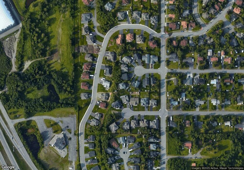
Map
Nearby Homes
- 1677 Circlewood Dr
- 2048 Meander Dr
- 2521 Winterchase Cir
- 11483 Moonrise Ridge Place Unit 10
- 11418 Moonrise Ridge Place Unit 19
- 12283 Timberwood Cir
- 11759 Birch Knoll Loop Unit 11759
- 12496 Silver Fox Ln Unit 6
- 1105 E Klatt Rd
- 2020 Steeple Dr
- 2735 Meadow Wood Cir
- 13105 Stephenson St
- 9031 Old Seward Hwy
- 12241 Gander St
- 11335 Tulin Park Loop
- 2640 E 112th Ave
- 3025 Huffman Rd
- 11359 Tulin Park Loop
- 13103 Brandon St Unit 14
- 2701 Kempton Hills Dr
- 1914 Dolly Varden Cir
- 1938 Dolly Varden Cir
- 1967 Sonoma Crest Cir
- 1872 Brandilyn St
- 1911 Dolly Varden Cir
- 1975 Sonoma Crest Cir
- 1955 Sonoma Crest Cir
- 1880 Brandilyn St
- 1675 Circlewood Dr
- 1950 Dolly Varden Cir
- 1985 Sonoma Crest Cir
- 1992 Brandilyn St
- 1923 Dolly Varden Cir
- L3 Sonoma Crest Cir
- 1956 Sonoma Crest Cir
- 1962 Dolly Varden Cir
- 1892 Brandilyn St
- L5 Sonoma Crest Cir
- 1935 Dolly Varden Cir
- 1810 Circlewood Dr