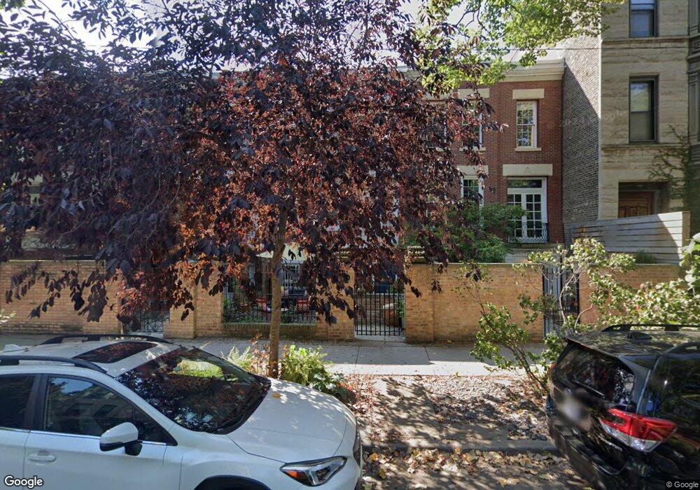
1926 N Bissell St Chicago, IL 60614
Old Town NeighborhoodEstimated Value: $854,000 - $1,907,000
2
Beds
2
Baths
1,944
Sq Ft
$627/Sq Ft
Est. Value
About This Home
This home is located at 1926 N Bissell St, Chicago, IL 60614 and is currently estimated at $1,218,119, approximately $626 per square foot. 1926 N Bissell St is a home located in Cook County with nearby schools including Mayer Elementary School, Lincoln Park High School, and The Noble Academy.
Ownership History
Date
Name
Owned For
Owner Type
Purchase Details
Closed on
Jun 24, 2010
Sold by
Antonetti Michael
Bought by
Brennan Francis C and Brennan Sarah
Current Estimated Value
Home Financials for this Owner
Home Financials are based on the most recent Mortgage that was taken out on this home.
Original Mortgage
$419,225
Outstanding Balance
$279,583
Interest Rate
4.87%
Mortgage Type
FHA
Estimated Equity
$938,536
Create a Home Valuation Report for This Property
The Home Valuation Report is an in-depth analysis detailing your home's value as well as a comparison with similar homes in the area
Home Values in the Area
Average Home Value in this Area
Purchase History
| Date | Buyer | Sale Price | Title Company |
|---|---|---|---|
| Brennan Francis C | $425,000 | Heritage Title Company |
Source: Public Records
Mortgage History
| Date | Status | Borrower | Loan Amount |
|---|---|---|---|
| Open | Brennan Francis C | $419,225 |
Source: Public Records
Tax History Compared to Growth
Tax History
| Year | Tax Paid | Tax Assessment Tax Assessment Total Assessment is a certain percentage of the fair market value that is determined by local assessors to be the total taxable value of land and additions on the property. | Land | Improvement |
|---|---|---|---|---|
| 2024 | $17,234 | $87,001 | $18,492 | $68,509 |
| 2023 | $16,779 | $85,001 | $14,913 | $70,088 |
| 2022 | $16,779 | $85,001 | $14,913 | $70,088 |
| 2021 | $16,423 | $84,999 | $14,912 | $70,087 |
| 2020 | $16,952 | $79,198 | $13,123 | $66,075 |
| 2019 | $16,607 | $86,085 | $13,123 | $72,962 |
| 2018 | $16,326 | $86,085 | $13,123 | $72,962 |
| 2017 | $14,905 | $72,615 | $10,737 | $61,878 |
| 2016 | $14,634 | $75,560 | $10,737 | $64,823 |
| 2015 | $13,365 | $75,560 | $10,737 | $64,823 |
| 2014 | $7,485 | $42,911 | $8,351 | $34,560 |
| 2013 | $7,804 | $42,911 | $8,351 | $34,560 |
Source: Public Records
Map
Nearby Homes
- 1928 N Bissell St
- 1962 N Bissell St
- 1927 N Dayton St
- 1921 N Dayton St
- 2026 N Kenmore Ave
- 1926 N Halsted St
- 1837 N Fremont St
- 1848 N Dayton St
- 1823 N Bissell St
- 1822 N Fremont St
- 1808 N Bissell St Unit 3A
- 1836 N Dayton St Unit 1836
- 1955 N Halsted St Unit 1
- 2014 N Seminary Ave Unit 2
- 1862 N Halsted St Unit 3N
- 1913 N Halsted St Unit 1
- 2118 N Sheffield Ave Unit 2
- 2118 N Sheffield Ave Unit 1
- 1851 N Halsted St Unit 2
- 1865 N Halsted St Unit 1S
- 1924 N Bissell St
- 1922 N Bissell St
- 1930 N Bissell St
- 1930 N Bissell St
- 1930 N Bissell St Unit 2
- 1930 N Bissell St Unit 3
- 1930 N Bissell St Unit 1
- 1920 N Bissell St
- 1932 N Bissell St Unit 2
- 1932 N Bissell St
- 1932 N Bissell St Unit 1
- 1932 N Bissell St Unit 3
- 1918 N Bissell St
- 1934 N Bissell St
- 1916 N Bissell St
- 1916 N Bissell St
- 1938 N Bissell St
- 1938 N Bissell St Unit 2
- 1938 N Bissell St Unit 1
- 1923 N Bissell St Unit 1