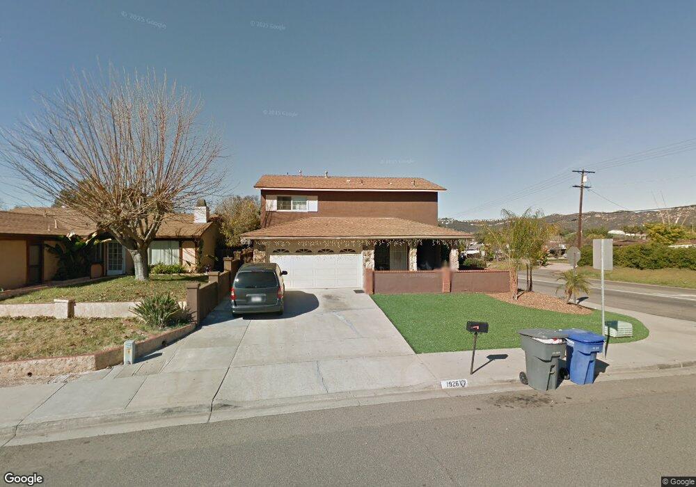
1926 Rees Rd San Marcos, CA 92069
Estimated Value: $810,855 - $870,000
4
Beds
3
Baths
1,425
Sq Ft
$587/Sq Ft
Est. Value
About This Home
This home is located at 1926 Rees Rd, San Marcos, CA 92069 and is currently estimated at $836,714, approximately $587 per square foot. 1926 Rees Rd is a home located in San Diego County with nearby schools including Knob Hill Elementary School, Woodland Park Middle School, and Mission Hills High School.
Ownership History
Date
Name
Owned For
Owner Type
Purchase Details
Closed on
Apr 2, 1996
Sold by
Washle Edwin J and Washle Dorothy M
Bought by
Lucio Efrain and Lucio Esther G
Current Estimated Value
Home Financials for this Owner
Home Financials are based on the most recent Mortgage that was taken out on this home.
Original Mortgage
$33,200
Interest Rate
8.42%
Purchase Details
Closed on
Jan 10, 1996
Sold by
Lucio Efrain and Lucio Ester G
Bought by
Washle Edwin J and Washle Dorothy N
Create a Home Valuation Report for This Property
The Home Valuation Report is an in-depth analysis detailing your home's value as well as a comparison with similar homes in the area
Home Values in the Area
Average Home Value in this Area
Purchase History
| Date | Buyer | Sale Price | Title Company |
|---|---|---|---|
| Lucio Efrain | $43,500 | South Coast Title Company | |
| Washle Edwin J | $48,380 | Fidelity National Title |
Source: Public Records
Mortgage History
| Date | Status | Borrower | Loan Amount |
|---|---|---|---|
| Previous Owner | Lucio Efrain | $33,200 |
Source: Public Records
Tax History Compared to Growth
Tax History
| Year | Tax Paid | Tax Assessment Tax Assessment Total Assessment is a certain percentage of the fair market value that is determined by local assessors to be the total taxable value of land and additions on the property. | Land | Improvement |
|---|---|---|---|---|
| 2025 | $2,072 | $195,414 | $65,132 | $130,282 |
| 2024 | $2,072 | $191,583 | $63,855 | $127,728 |
| 2023 | $2,032 | $187,827 | $62,603 | $125,224 |
| 2022 | $2,002 | $184,145 | $61,376 | $122,769 |
| 2021 | $1,968 | $180,535 | $60,173 | $120,362 |
| 2020 | $1,949 | $178,684 | $59,556 | $119,128 |
| 2019 | $1,926 | $175,182 | $58,389 | $116,793 |
| 2018 | $1,863 | $171,748 | $57,245 | $114,503 |
| 2017 | $133 | $168,381 | $56,123 | $112,258 |
| 2016 | $1,874 | $165,080 | $55,023 | $110,057 |
| 2015 | $1,847 | $162,601 | $54,197 | $108,404 |
| 2014 | $1,805 | $159,417 | $53,136 | $106,281 |
Source: Public Records
Map
Nearby Homes
- 1796 Lindsley Park Dr
- 0 Leaf Ln
- 1233 Titan Ct
- 1925 Rock Springs Rd Unit 1
- 639 Butterwood Ave
- 1609 Desert Glen
- 1715 Las Palmas Ln
- 1524 Brook Rd
- 1860 Matin Cir Unit 103
- 1708 Woodbridge Rd
- 1109 Hilo Glen
- 0 Nordahl Unit 12/1 250019500
- 1708 Harold Rd
- 1477 Glen Avon Dr
- 1811 Lynx Glen
- 1810 Lynx Glen
- 1962 Julie Dawn Place
- 1829 Nova Glen
- 2034 Bolsa Chica Glen
- 1761 Pinehurst Ave
- 1924 Rees Rd
- 1795 Rock Springs Rd
- 1920 Rees Rd
- 1805 Rock Springs Rd
- 1777 Rock Springs Rd
- 1921 Rees Rd
- 1758 Rock Springs Rd
- 1811 Rock Springs Rd
- 1748 Rock Springs Rd
- 1915 Rees Rd
- 1788 Lindsley Park Dr
- 1810 Rock Springs Rd
- 1780 Lindsley Park Dr
- 1769 Rock Springs Rd
- 1798 Lindsley Park Dr
- 1821 Rock Springs Rd
- 1738 Rock Springs Rd
- 1909 Rees Rd
- 1755 Rock Springs Rd
- 1756 Lindsley Park Dr