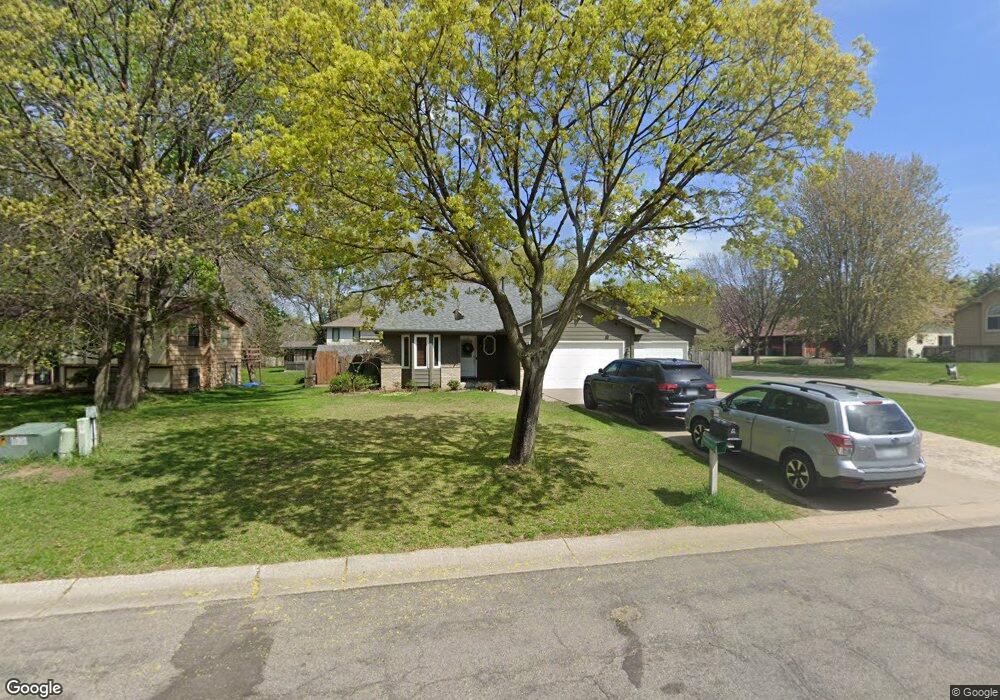
1927 131st Ave NW Coon Rapids, MN 55448
Estimated Value: $401,272 - $422,000
4
Beds
2
Baths
1,358
Sq Ft
$305/Sq Ft
Est. Value
About This Home
This home is located at 1927 131st Ave NW, Coon Rapids, MN 55448 and is currently estimated at $413,818, approximately $304 per square foot. 1927 131st Ave NW is a home located in Anoka County with nearby schools including Lucile Bruner Elementary School, Morris Bye Elementary School, and Laughlin Junior/Senior High School.
Ownership History
Date
Name
Owned For
Owner Type
Purchase Details
Closed on
Apr 30, 2020
Sold by
Rickenbach Joseph S and Rickenbach Denise M
Bought by
Xiong Choua
Current Estimated Value
Home Financials for this Owner
Home Financials are based on the most recent Mortgage that was taken out on this home.
Original Mortgage
$308,750
Outstanding Balance
$273,595
Interest Rate
3.3%
Mortgage Type
New Conventional
Estimated Equity
$140,223
Create a Home Valuation Report for This Property
The Home Valuation Report is an in-depth analysis detailing your home's value as well as a comparison with similar homes in the area
Home Values in the Area
Average Home Value in this Area
Purchase History
| Date | Buyer | Sale Price | Title Company |
|---|---|---|---|
| Xiong Choua | $325,000 | Titlesmart Inc |
Source: Public Records
Mortgage History
| Date | Status | Borrower | Loan Amount |
|---|---|---|---|
| Open | Xiong Choua | $308,750 |
Source: Public Records
Tax History Compared to Growth
Tax History
| Year | Tax Paid | Tax Assessment Tax Assessment Total Assessment is a certain percentage of the fair market value that is determined by local assessors to be the total taxable value of land and additions on the property. | Land | Improvement |
|---|---|---|---|---|
| 2025 | $3,957 | $379,100 | $90,000 | $289,100 |
| 2024 | $3,957 | $375,000 | $87,000 | $288,000 |
| 2023 | $3,720 | $365,700 | $72,000 | $293,700 |
| 2022 | $3,326 | $377,300 | $72,000 | $305,300 |
| 2021 | $3,049 | $302,900 | $56,000 | $246,900 |
| 2020 | $3,060 | $273,400 | $56,000 | $217,400 |
| 2019 | $2,928 | $263,600 | $56,000 | $207,600 |
| 2018 | $2,762 | $246,200 | $0 | $0 |
| 2017 | $2,471 | $226,700 | $0 | $0 |
| 2016 | $2,531 | $202,300 | $0 | $0 |
| 2015 | -- | $202,300 | $50,000 | $152,300 |
| 2014 | -- | $168,800 | $35,400 | $133,400 |
Source: Public Records
Map
Nearby Homes
- 1776 133rd Ave NW
- 1687 131st Ln NW
- 1930 127th Cir NW
- 13416 Swallow St NW
- 12760 Raven St NW
- 13519 Partridge Cir NW
- 1520 129th Ave NW
- 12554 Grouse St NW
- 1593 126th Ln NW
- 12796 Bluebird St NW
- 2147 125th Ln NW
- 13182 Zion St NW
- 1450 126th Ln NW
- 2068 124th Ln NW
- 2270 137th Ln NW
- 12365 Jay St NW
- 1234 128th Cir NW
- 1625 124th Ave NW
- 2740 132nd Ln NW
- 12463 Drake St NW
- 1937 131st Ave NW
- 13122 Martin St NW
- 13103 Martin St NW
- 1920 131st Ave NW
- 13119 Martin St NW
- 1926 131st Ave NW
- 13136 Martin St NW
- 1914 131st Ave NW
- 13135 Martin St NW
- 13152 Martin St NW
- 1910 131st Ave NW
- 1907 131st Ave NW
- 1882 131st Ln NW
- 1921 130th Ln NW
- 1929 130th Ln NW
- 1906 131st Ave NW
- 1913 130th Ln NW
- 13155 Martin St NW
- 1861 131st Ave NW
- 13168 Martin St NW