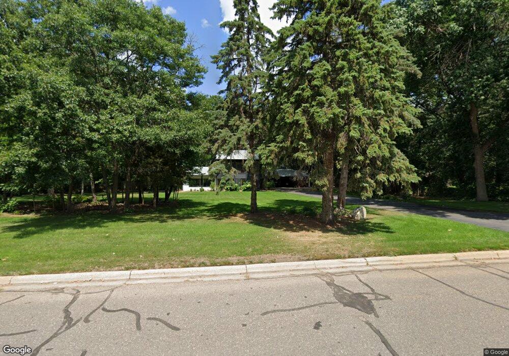
1927 1927 17th-Street-s St. Cloud, MN 56301
Estimated Value: $433,000 - $548,000
4
Beds
4
Baths
3,118
Sq Ft
$152/Sq Ft
Est. Value
About This Home
This home is located at 1927 1927 17th-Street-s, St. Cloud, MN 56301 and is currently estimated at $475,100, approximately $152 per square foot. 1927 1927 17th-Street-s is a home located in Stearns County with nearby schools including Oak Hill Community Elementary School, South Junior High School, and Montessori School of St. Cloud.
Ownership History
Date
Name
Owned For
Owner Type
Purchase Details
Closed on
Mar 1, 2017
Sold by
Vouk Cody T and Vouk Kelly J
Bought by
Groseth Brent A and Groseth Marjorie A
Current Estimated Value
Create a Home Valuation Report for This Property
The Home Valuation Report is an in-depth analysis detailing your home's value as well as a comparison with similar homes in the area
Home Values in the Area
Average Home Value in this Area
Purchase History
| Date | Buyer | Sale Price | Title Company |
|---|---|---|---|
| Groseth Brent A | $324,848 | Home Title |
Source: Public Records
Tax History Compared to Growth
Tax History
| Year | Tax Paid | Tax Assessment Tax Assessment Total Assessment is a certain percentage of the fair market value that is determined by local assessors to be the total taxable value of land and additions on the property. | Land | Improvement |
|---|---|---|---|---|
| 2025 | $5,260 | $410,000 | $60,000 | $350,000 |
| 2024 | $5,260 | $403,100 | $60,000 | $343,100 |
| 2023 | $4,966 | $403,100 | $60,000 | $343,100 |
| 2022 | $4,320 | $309,500 | $50,000 | $259,500 |
| 2021 | $4,324 | $309,500 | $50,000 | $259,500 |
| 2020 | $4,340 | $309,500 | $50,000 | $259,500 |
| 2019 | $4,138 | $301,900 | $50,000 | $251,900 |
| 2018 | $4,044 | $276,300 | $50,000 | $226,300 |
| 2017 | $3,944 | $266,600 | $50,000 | $216,600 |
| 2016 | $3,798 | $0 | $0 | $0 |
| 2015 | $3,788 | $0 | $0 | $0 |
| 2014 | -- | $0 | $0 | $0 |
Source: Public Records
Map
Nearby Homes
- 1935 17th St S
- 1541 Prairie Hill Rd
- 1549 Prairie Hill Rd
- 2420 Meadow Ct
- 2112 14th St S
- 2004 13th St S
- 1808 Prairie Hill Rd
- 1335 Cooper Ave S
- 2305 15th St S
- 2403 Goettens Way
- 1404 Goettens Way
- 2415 Field Ct
- 1904 Red Fox Rd
- 2500 13th St S
- 605 Roosevelt Rd
- 2114 Shannon Dr
- 116 20th Ave S
- 2267 26th Ave S
- 1612 Kings Way
- 1703 14th Ave S
- 1927 17th St S
- 1923 17th St S
- 1931 17th St S
- 1940 Tyrol Dr
- 1936 Tyrol Dr
- 1930 17th St S
- 1935 17th St N
- 1921 17th St S
- 1932 Tyrol Dr
- 1934 17th St S
- 1922 17th St S
- 1948 Tyrol Dr
- 1935 1935 S 17th-Street-
- 1919 17th St S
- 1938 17th St S
- 1943 Tyrol Dr
- 1939 Tyrol Dr
- 1918 17th St S
- 1935 Tyrol Dr
- 1947 Tyrol Dr