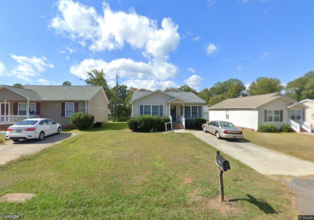
1927 Dobbins Ave Anderson, SC 29625
Estimated Value: $130,067 - $211,000
3
Beds
2
Baths
1,224
Sq Ft
$144/Sq Ft
Est. Value
About This Home
This home is located at 1927 Dobbins Ave, Anderson, SC 29625 and is currently estimated at $176,517, approximately $144 per square foot. 1927 Dobbins Ave is a home located in Anderson County with nearby schools including Whitehall Elementary School, Westside High School, and Anderson Institute of Technology.
Ownership History
Date
Name
Owned For
Owner Type
Purchase Details
Closed on
Jan 19, 2011
Sold by
Alder Michael L and Alder Melanie A
Bought by
Alder Michael and Alder Melanie
Current Estimated Value
Purchase Details
Closed on
Jun 27, 2008
Sold by
Affordable Housing For Aging America Llc
Bought by
Alder Michael L and Alder Melanie A
Home Financials for this Owner
Home Financials are based on the most recent Mortgage that was taken out on this home.
Original Mortgage
$69,750
Outstanding Balance
$15,672
Interest Rate
6.08%
Mortgage Type
Credit Line Revolving
Estimated Equity
$160,845
Create a Home Valuation Report for This Property
The Home Valuation Report is an in-depth analysis detailing your home's value as well as a comparison with similar homes in the area
Home Values in the Area
Average Home Value in this Area
Purchase History
| Date | Buyer | Sale Price | Title Company |
|---|---|---|---|
| Alder Michael | -- | -- | |
| Alder Michael L | -- | -- |
Source: Public Records
Mortgage History
| Date | Status | Borrower | Loan Amount |
|---|---|---|---|
| Open | Alder Michael L | $69,750 |
Source: Public Records
Tax History
| Year | Tax Paid | Tax Assessment Tax Assessment Total Assessment is a certain percentage of the fair market value that is determined by local assessors to be the total taxable value of land and additions on the property. | Land | Improvement |
|---|---|---|---|---|
| 2024 | $1,576 | $3,520 | $440 | $3,080 |
| 2023 | $1,577 | $3,520 | $440 | $3,080 |
| 2022 | $1,522 | $3,520 | $440 | $3,080 |
| 2021 | $1,460 | $3,210 | $380 | $2,830 |
| 2020 | $1,444 | $3,210 | $380 | $2,830 |
| 2019 | $1,444 | $3,210 | $380 | $2,830 |
| 2018 | $1,430 | $3,210 | $380 | $2,830 |
| 2017 | -- | $3,210 | $380 | $2,830 |
| 2016 | $1,466 | $3,330 | $330 | $3,000 |
| 2015 | $1,475 | $3,330 | $330 | $3,000 |
| 2014 | $1,455 | $3,330 | $330 | $3,000 |
Source: Public Records
Map
Nearby Homes
- 2005 Northview Ave
- 1909 Northview Ave
- 1913 Dobbins Ave
- 1922 Dobbins Ave
- 709 Blair St
- 700 Westview Ave
- 1906 Dobbins Ave
- 419 Central Ave
- 125 Beulah Dr
- 2414 Berkley Dr
- 1808 Edgewood Ave
- 104 Northgate Dr
- 216 Celebration Ave
- 2307 W North Ave
- 2305 W North Ave
- 209 Celebration Ave
- 113 Traditions Blvd
- 211 Westwind Rd
- 157 Bleckley Trail
- 208 Glenwood Ave
- 1921 Dobbins Ave
- 1931 Dobbins Ave
- 1935 Dobbins Ave
- 1936 Inman Dr
- 1936 Dobbins Ave
- 1934 Inman Dr Unit A
- 1934 Inman Dr
- 1934 Dobbins Ave
- 2117 Woodside Ave
- 2115 Woodside Ave
- 2119 Woodside Ave
- 2107 Woodside Ave
- 2121 Woodside Ave
- 1932 Dobbins Ave
- 1920B Inman Dr
- 2125 Woodside Ave
- 2105 Woodside Ave
- 1913 Northview Ave
- 1915 Northview Ave
- 1920 Inman Dr
Your Personal Tour Guide
Ask me questions while you tour the home.