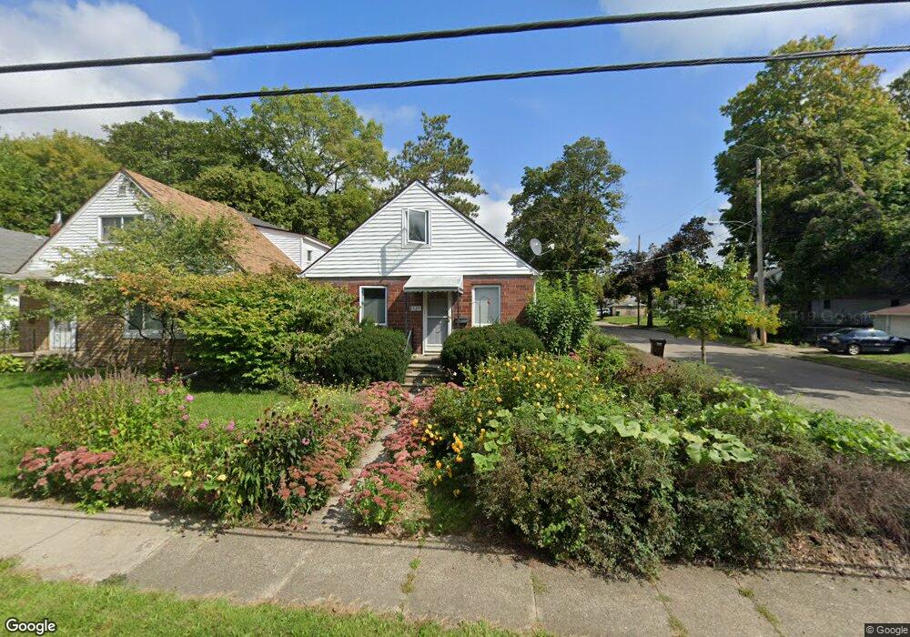
1927 Donora St Lansing, MI 48910
Clifford Park NeighborhoodEstimated Value: $102,000 - $108,126
Studio
--
Bath
768
Sq Ft
$137/Sq Ft
Est. Value
About This Home
This home is located at 1927 Donora St, Lansing, MI 48910 and is currently estimated at $105,282, approximately $137 per square foot. 1927 Donora St is a home located in Ingham County with nearby schools including Lyons Elementary School, Pattengill Academy, and Eastern High School.
Ownership History
Date
Name
Owned For
Owner Type
Purchase Details
Closed on
Aug 7, 2003
Sold by
Libants Scot V
Bought by
Libants Scot V and Libants Kelly
Current Estimated Value
Home Financials for this Owner
Home Financials are based on the most recent Mortgage that was taken out on this home.
Original Mortgage
$75,600
Interest Rate
5.47%
Mortgage Type
Purchase Money Mortgage
Purchase Details
Closed on
May 30, 2002
Sold by
Williams Towonna S
Bought by
Libants Scot V
Home Financials for this Owner
Home Financials are based on the most recent Mortgage that was taken out on this home.
Original Mortgage
$75,600
Interest Rate
6.87%
Mortgage Type
Purchase Money Mortgage
Purchase Details
Closed on
Oct 1, 1995
Create a Home Valuation Report for This Property
The Home Valuation Report is an in-depth analysis detailing your home's value as well as a comparison with similar homes in the area
Home Values in the Area
Average Home Value in this Area
Purchase History
| Date | Buyer | Sale Price | Title Company |
|---|---|---|---|
| Libants Scot V | -- | Midstate Title Co | |
| Libants Scot V | $84,000 | -- | |
| -- | $43,500 | -- |
Source: Public Records
Mortgage History
| Date | Status | Borrower | Loan Amount |
|---|---|---|---|
| Closed | Libants Scot V | $75,600 | |
| Closed | Libants Scot V | $75,600 |
Source: Public Records
Tax History
| Year | Tax Paid | Tax Assessment Tax Assessment Total Assessment is a certain percentage of the fair market value that is determined by local assessors to be the total taxable value of land and additions on the property. | Land | Improvement |
|---|---|---|---|---|
| 2025 | $2,119 | $48,800 | $5,400 | $43,400 |
| 2024 | $16 | $43,700 | $5,400 | $38,300 |
| 2023 | $1,946 | $39,100 | $5,400 | $33,700 |
| 2022 | $1,758 | $35,100 | $5,400 | $29,700 |
| 2021 | $1,721 | $32,000 | $3,400 | $28,600 |
| 2020 | $1,710 | $30,200 | $3,400 | $26,800 |
| 2019 | $1,641 | $26,200 | $3,400 | $22,800 |
| 2018 | $1,557 | $26,800 | $3,400 | $23,400 |
| 2017 | $1,490 | $26,800 | $3,400 | $23,400 |
| 2016 | $1,430 | $26,300 | $3,400 | $22,900 |
| 2015 | $1,430 | $25,100 | $6,878 | $18,222 |
| 2014 | $1,430 | $24,800 | $4,968 | $19,832 |
Source: Public Records
Map
Nearby Homes
- 2201 S Pennsylvania Ave
- 704 Mckim Ave
- 2309 S Pennsylvania Ave
- 2311 S Pennsylvania Ave
- 1731 Lyons Ave
- 2215 Alpha St
- 2118 Roberts Ln
- 1701 Lyons Ave
- 1601 Bailey St
- 1406 E Mount Hope Ave
- 534 Isbell St
- 555 Tisdale Ave
- 1535 Linval St
- 1522 Bailey St
- 1501 Shubel Ave
- 1515 Linval St
- 1437 Ada St
- 2237 Sunnyside Ave
- 1423 Pontiac St
- 1731 Herbert St
Your Personal Tour Guide
Ask me questions while you tour the home.