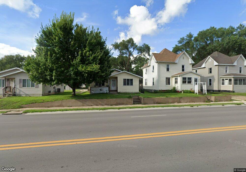
1927 Franklin St Waterloo, IA 50703
Lafnow NeighborhoodEstimated Value: $86,000 - $106,000
3
Beds
1
Bath
1,060
Sq Ft
$93/Sq Ft
Est. Value
About This Home
This home is located at 1927 Franklin St, Waterloo, IA 50703 and is currently estimated at $98,123, approximately $92 per square foot. 1927 Franklin St is a home located in Black Hawk County with nearby schools including Highland Elementary School, George Washington Carver Academy, and East High School.
Ownership History
Date
Name
Owned For
Owner Type
Purchase Details
Closed on
Aug 31, 2005
Sold by
Iowa Heartland Habitat For Humanity
Bought by
Krutsinger Nancy Lynn
Current Estimated Value
Home Financials for this Owner
Home Financials are based on the most recent Mortgage that was taken out on this home.
Original Mortgage
$65,000
Interest Rate
5.82%
Mortgage Type
Purchase Money Mortgage
Create a Home Valuation Report for This Property
The Home Valuation Report is an in-depth analysis detailing your home's value as well as a comparison with similar homes in the area
Home Values in the Area
Average Home Value in this Area
Purchase History
| Date | Buyer | Sale Price | Title Company |
|---|---|---|---|
| Krutsinger Nancy Lynn | $65,000 | None Available |
Source: Public Records
Mortgage History
| Date | Status | Borrower | Loan Amount |
|---|---|---|---|
| Closed | Krutsinger Nancy Lynn | $65,000 |
Source: Public Records
Tax History
| Year | Tax Paid | Tax Assessment Tax Assessment Total Assessment is a certain percentage of the fair market value that is determined by local assessors to be the total taxable value of land and additions on the property. | Land | Improvement |
|---|---|---|---|---|
| 2025 | $1,242 | $88,380 | $5,120 | $83,260 |
| 2024 | $1,242 | $75,950 | $5,120 | $70,830 |
| 2023 | $1,126 | $75,950 | $5,120 | $70,830 |
| 2022 | $1,094 | $63,560 | $5,120 | $58,440 |
| 2021 | $1,130 | $63,560 | $5,120 | $58,440 |
| 2020 | $1,196 | $61,780 | $3,340 | $58,440 |
| 2019 | $870 | $61,780 | $3,340 | $58,440 |
| 2018 | $870 | $61,780 | $3,340 | $58,440 |
| 2017 | $780 | $61,780 | $3,340 | $58,440 |
| 2016 | $764 | $61,780 | $3,340 | $58,440 |
| 2015 | $764 | $61,780 | $3,340 | $58,440 |
| 2014 | $542 | $56,910 | $3,340 | $53,570 |
Source: Public Records
Map
Nearby Homes
- 520 Linden Ave
- 1612 Franklin St
- 211 Madison St
- 0 Monroe St Unit Parcel 891230129032
- 0 Monroe St Unit Parcel 891230129033
- 0 Madison St Unit Parcel 891230129029
- 0 Madison St Unit Parcel 891230129030
- 0 Madison St Unit Parcel 891230129028
- 822 Colorado St
- 1127 Independence Ave
- 1421 Mulberry St
- 1912 Sycamore St
- 1235 Independence Ave
- 0 Irving St
- 1437 Vine St
- 911 Lafayette St Unit 913
- 0 Bates St
- 215 Lamont St
- 1765 Independence Ave
- 1002 Mobile St
- 1929 Franklin St
- 1925 Franklin St
- 1931 Franklin St
- 1919 Franklin St
- 1933 Franklin St
- 824 Fowler St
- 820 Fowler St
- 1930 Franklin St
- 816 Fowler St
- 844 Fowler St
- 1944 Franklin St
- 1920 Franklin St
- 810 Fowler St
- 1912 Franklin St
- 1926 Franklin St
- 1957 Franklin St
- 850 Fowler St
- 1938 Franklin St
- 806 Fowler St
- 856 Fowler St
Your Personal Tour Guide
Ask me questions while you tour the home.