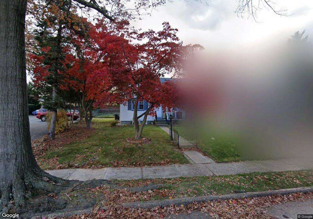
1927 Gross Ave Pennsauken, NJ 08110
Estimated Value: $301,381 - $322,000
--
Bed
--
Bath
1,368
Sq Ft
$227/Sq Ft
Est. Value
About This Home
This home is located at 1927 Gross Ave, Pennsauken, NJ 08110 and is currently estimated at $310,095, approximately $226 per square foot. 1927 Gross Ave is a home located in Camden County with nearby schools including Pennsauken High School, St. Peter Elementary School, and St. Cecilia School.
Ownership History
Date
Name
Owned For
Owner Type
Purchase Details
Closed on
Feb 13, 2003
Sold by
Secr Housing And Urban Dev
Bought by
Doan Phoung
Current Estimated Value
Home Financials for this Owner
Home Financials are based on the most recent Mortgage that was taken out on this home.
Original Mortgage
$82,850
Outstanding Balance
$35,483
Interest Rate
5.95%
Estimated Equity
$274,613
Create a Home Valuation Report for This Property
The Home Valuation Report is an in-depth analysis detailing your home's value as well as a comparison with similar homes in the area
Home Values in the Area
Average Home Value in this Area
Purchase History
| Date | Buyer | Sale Price | Title Company |
|---|---|---|---|
| Doan Phoung | $97,500 | -- |
Source: Public Records
Mortgage History
| Date | Status | Borrower | Loan Amount |
|---|---|---|---|
| Open | Doan Phoung | $82,850 |
Source: Public Records
Tax History Compared to Growth
Tax History
| Year | Tax Paid | Tax Assessment Tax Assessment Total Assessment is a certain percentage of the fair market value that is determined by local assessors to be the total taxable value of land and additions on the property. | Land | Improvement |
|---|---|---|---|---|
| 2025 | $5,949 | $328,300 | $53,600 | $274,700 |
| 2024 | $5,834 | $136,700 | $38,700 | $98,000 |
| 2023 | $5,834 | $136,700 | $38,700 | $98,000 |
| 2022 | $5,275 | $136,700 | $38,700 | $98,000 |
| 2021 | $5,417 | $136,700 | $38,700 | $98,000 |
| 2020 | $4,853 | $136,700 | $38,700 | $98,000 |
| 2019 | $4,909 | $136,700 | $38,700 | $98,000 |
| 2018 | $4,935 | $136,700 | $38,700 | $98,000 |
| 2017 | $4,944 | $136,700 | $38,700 | $98,000 |
| 2016 | $4,856 | $136,700 | $38,700 | $98,000 |
| 2015 | $5,000 | $136,700 | $38,700 | $98,000 |
| 2014 | $4,917 | $88,400 | $22,000 | $66,400 |
Source: Public Records
Map
Nearby Homes
- 1762 Lexington Ave
- 1765 Hillcrest Ave
- 2217 Hillcrest Ave
- 2254 Hollinshed Ave
- 4950 Pleasant Ave
- 2154 Browning Rd
- 1666 Browning Rd
- 6116 Pleasant Ave
- 2117 Penn St
- 1524 Browning Rd
- 1858 47th St
- 1828 47th St
- 6134 Grant Ave
- 3204 Merchantville Ave
- 1519 48th St
- 1862 45th St
- 1601 47th St
- 4412 Westfield Ave
- 5745 Cedar Ave
- 2146 44th St
- 1919 Gross Ave
- 1924 Merchantville Ave
- 1922 Merchantville Ave
- 1926 Merchantville Ave
- 1913 Gross Ave
- 1918 Merchantville Ave
- 1912 Merchantville Ave
- 5801 Westfield Ave
- 1926 Gross Ave
- 1907 Gross Ave
- 1916 Gross Ave
- 1904 Merchantville Ave
- 1920 Gross Ave
- 1933 Hollinshed Ave
- 1941 Hollinshed Ave
- 1904 Gross Ave
- 1927 Hollinshed Ave
- 1927 Merchantville Ave
- 1919 Merchantville Ave
- 1933 Merchantville Ave