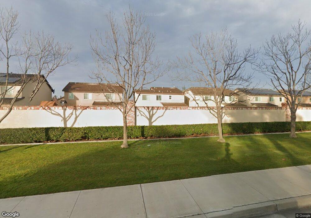
1927 Holt Rinehart Ave Bakersfield, CA 93311
Haggin Oaks NeighborhoodEstimated Value: $387,000 - $414,000
3
Beds
3
Baths
884
Sq Ft
$449/Sq Ft
Est. Value
About This Home
This home is located at 1927 Holt Rinehart Ave, Bakersfield, CA 93311 and is currently estimated at $396,728, approximately $448 per square foot. 1927 Holt Rinehart Ave is a home with nearby schools including Christa McAuliffe Elementary School, Tevis Junior High School, and Bakersfield High School.
Ownership History
Date
Name
Owned For
Owner Type
Purchase Details
Closed on
Dec 27, 2017
Sold by
Varnell Anne P
Bought by
Varnell Anne P and The Anne P Varnell Trust
Current Estimated Value
Purchase Details
Closed on
Feb 1, 2012
Sold by
Castle & Cooke California Inc
Bought by
Varnell Anne P
Home Financials for this Owner
Home Financials are based on the most recent Mortgage that was taken out on this home.
Original Mortgage
$197,853
Outstanding Balance
$134,637
Interest Rate
3.75%
Mortgage Type
FHA
Estimated Equity
$262,091
Purchase Details
Closed on
Feb 5, 2010
Sold by
University Park Community Association
Bought by
Castle & Cooke California Inc
Create a Home Valuation Report for This Property
The Home Valuation Report is an in-depth analysis detailing your home's value as well as a comparison with similar homes in the area
Home Values in the Area
Average Home Value in this Area
Purchase History
| Date | Buyer | Sale Price | Title Company |
|---|---|---|---|
| Varnell Anne P | -- | None Available | |
| Varnell Anne P | -- | Ticor Title Company Of Ca | |
| Castle & Cooke California Inc | -- | Ticor Title |
Source: Public Records
Mortgage History
| Date | Status | Borrower | Loan Amount |
|---|---|---|---|
| Open | Varnell Anne P | $197,853 |
Source: Public Records
Tax History Compared to Growth
Tax History
| Year | Tax Paid | Tax Assessment Tax Assessment Total Assessment is a certain percentage of the fair market value that is determined by local assessors to be the total taxable value of land and additions on the property. | Land | Improvement |
|---|---|---|---|---|
| 2025 | $4,059 | $254,966 | $62,796 | $192,170 |
| 2024 | $3,989 | $249,967 | $61,565 | $188,402 |
| 2023 | $3,989 | $245,066 | $60,358 | $184,708 |
| 2022 | $3,772 | $240,262 | $59,175 | $181,087 |
| 2021 | $3,648 | $235,552 | $58,015 | $177,537 |
| 2020 | $3,657 | $233,138 | $57,421 | $175,717 |
| 2019 | $3,609 | $233,138 | $57,421 | $175,717 |
| 2018 | $3,463 | $224,088 | $55,193 | $168,895 |
| 2017 | $3,414 | $219,695 | $54,111 | $165,584 |
| 2016 | $3,217 | $215,388 | $53,050 | $162,338 |
| 2015 | $3,197 | $212,154 | $52,254 | $159,900 |
| 2014 | $3,148 | $207,999 | $51,231 | $156,768 |
Source: Public Records
Map
Nearby Homes
- 1906 Holt Rinehart Ave
- 8005 Shetland Dr
- 1811 Wadsworth Ave
- 1808 Delacorte Dr
- 8214 Prentice Hall Dr
- 8304 Prentice Hall Dr
- 2316 Gosford Rd Unit W
- 1701 Glenarm Ct
- 7701 Shetland Dr
- 2600 Brookside Dr Unit 40
- 2600 Brookside Dr Unit 46
- 1912 Glenbrea Ct
- 7804 Revelstoke Way
- 2209 Sully Ct
- 1405 Calle Hermosa
- 2012 Haggin Oaks Blvd
- 1509 Calle Castana
- 8710 Beau Maison Way
- 2013 Calle Los Camichines
- 2300 El Portal Dr Unit 50
- 1921 Holt Rinehart Ave
- 8110 McGraw Hill Dr
- 1923 Holt Rinehart Ave
- 1925 Holt Rinehart Ave
- 1926 Holt Rinehart Ave
- 8116 McGraw Hill Dr
- 8101 McGraw Hill Dr
- 8105 McGraw Hill Dr
- 1915 Holt Rinehart Ave
- 1910 Simon Schuster Way
- 1917 Holt Rinehart Ave
- 1930 Holt Rinehart Ave
- 1919 Holt Rinehart Ave
- 2011 Holt Rinehart Ave
- 1920 Holt Rinehart Ave
- 8118 McGraw Hill Dr
- 2002 Holt Rinehart Ave
- 8109 McGraw Hill Dr
- 1918 Holt Rinehart Ave
- 1904 Simon Schuster Way