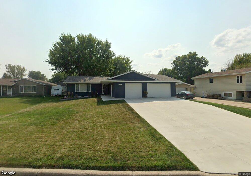
1927 S Shore Dr Worthington, MN 56187
Estimated Value: $306,000 - $385,000
3
Beds
2
Baths
2,936
Sq Ft
$120/Sq Ft
Est. Value
About This Home
This home is located at 1927 S Shore Dr, Worthington, MN 56187 and is currently estimated at $351,607, approximately $119 per square foot. 1927 S Shore Dr is a home located in Nobles County with nearby schools including Prairie Elementary School, Worthington Middle School, and Worthington Area Learning Center.
Ownership History
Date
Name
Owned For
Owner Type
Purchase Details
Closed on
Aug 28, 2020
Sold by
Place Evan Evan
Bought by
Lowe Matthew Matthew
Current Estimated Value
Home Financials for this Owner
Home Financials are based on the most recent Mortgage that was taken out on this home.
Original Mortgage
$200,000
Outstanding Balance
$177,520
Interest Rate
2.91%
Estimated Equity
$174,087
Purchase Details
Closed on
Aug 6, 2018
Sold by
Alicia Schmidt and Alicia Scott
Bought by
Place Evan M
Purchase Details
Closed on
Apr 10, 2015
Bought by
Koopman Alicia M and Schmidt Scott T
Home Financials for this Owner
Home Financials are based on the most recent Mortgage that was taken out on this home.
Original Mortgage
$140,000
Interest Rate
3.77%
Create a Home Valuation Report for This Property
The Home Valuation Report is an in-depth analysis detailing your home's value as well as a comparison with similar homes in the area
Home Values in the Area
Average Home Value in this Area
Purchase History
| Date | Buyer | Sale Price | Title Company |
|---|---|---|---|
| Lowe Matthew Matthew | $250,000 | -- | |
| Place Evan M | $225,100 | -- | |
| Koopman Alicia M | $140,000 | -- | |
| Koopman Alicia | $140,000 | -- |
Source: Public Records
Mortgage History
| Date | Status | Borrower | Loan Amount |
|---|---|---|---|
| Open | Lowe Matthew Matthew | $200,000 | |
| Previous Owner | Koopman Alicia | $140,000 |
Source: Public Records
Tax History Compared to Growth
Tax History
| Year | Tax Paid | Tax Assessment Tax Assessment Total Assessment is a certain percentage of the fair market value that is determined by local assessors to be the total taxable value of land and additions on the property. | Land | Improvement |
|---|---|---|---|---|
| 2025 | $4,912 | $399,100 | $61,100 | $338,000 |
| 2024 | $5,012 | $387,600 | $61,100 | $326,500 |
| 2023 | $4,318 | $405,800 | $61,100 | $344,700 |
| 2022 | $3,136 | $340,400 | $52,400 | $288,000 |
| 2021 | $2,862 | $224,500 | $43,600 | $180,900 |
| 2020 | $2,580 | $215,900 | $43,600 | $172,300 |
| 2019 | $2,054 | $187,800 | $43,600 | $144,200 |
| 2018 | $1,818 | $173,100 | $43,600 | $129,500 |
| 2017 | $1,536 | $159,200 | $39,300 | $119,900 |
| 2016 | $1,606 | $142,600 | $34,900 | $107,700 |
| 2015 | -- | $0 | $0 | $0 |
| 2014 | -- | $0 | $0 | $0 |
Source: Public Records
Map
Nearby Homes
- 1976 Bay St
- 1745 S Shore Dr
- 1908 Summit Ave
- 1606 S Shore Dr
- TBD 1st Ave SW
- 774 Dugdale Ave
- 960 Sterling Ave
- Lot 6 Block 2 Sterling Ave
- Lot 5 Block 2 Sterling Ave
- Lot 4 Block 2 Sterling Ave
- Lot 3 Block 2 Sterling Ave
- Lot 2 Block 2 Sterling Ave
- Lot 1 Block 2 Sterling Ave
- x Sterling Ave
- 1206 S Shore Dr
- 1207 S Shore Dr
- Lot 6 Block 1 Campbell Blvd
- Lot 5 Block 1 Campbell Blvd
- Lot 3 Block 4 Campbell Blvd
- Lot 4 Block 1 Campbell Blvd
- 1935 S Shore Dr
- 1926 Dorathea Blvd
- 1930 Dorathea Blvd
- 1920 Dorathea Blvd
- 1945 S Shore Dr
- 1977 S Shore Dr
- 1923 S Shore Dr
- 1913 S Shore Dr
- 1936 Dorathea Blvd
- 1955 S Shore Dr
- 1912 Dorathea Blvd
- 1944 Dorathea Blvd
- 1961 S Shore Dr
- 1956 Dorathea Blvd
- 1937 1937 Dorathea
- 1960 Dorathea Blvd
- 1925 Dorathea Blvd
- 1931 Dorathea Blvd
- 1906 Dorathea Blvd
- 1930 Dorathea Blvd