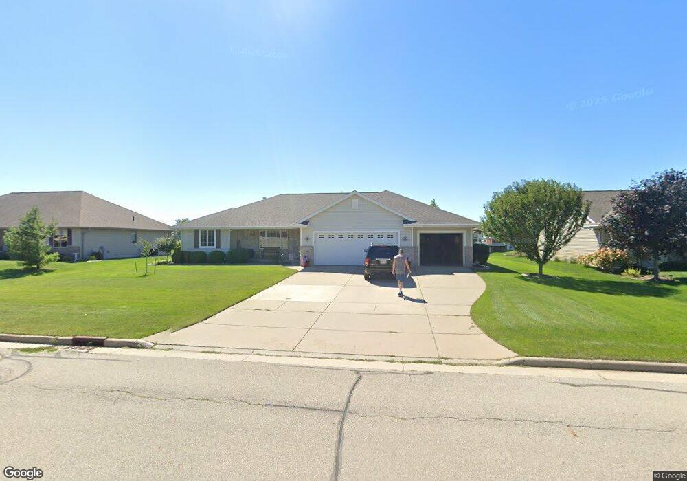
1927 Sinclair Dr de Pere, WI 54115
Estimated Value: $429,567 - $478,000
3
Beds
2
Baths
1,664
Sq Ft
$267/Sq Ft
Est. Value
About This Home
This home is located at 1927 Sinclair Dr, de Pere, WI 54115 and is currently estimated at $444,392, approximately $267 per square foot. 1927 Sinclair Dr is a home located in Brown County with nearby schools including Hemlock Creek Elementary School, West De Pere Middle School, and West De Pere High School.
Ownership History
Date
Name
Owned For
Owner Type
Purchase Details
Closed on
Jun 28, 2007
Sold by
Ronald J Sinclair Construction Llc
Bought by
Brzezinski Gregory G and Helsel Lara A
Current Estimated Value
Home Financials for this Owner
Home Financials are based on the most recent Mortgage that was taken out on this home.
Original Mortgage
$163,000
Outstanding Balance
$101,454
Interest Rate
6.42%
Mortgage Type
Purchase Money Mortgage
Estimated Equity
$342,938
Create a Home Valuation Report for This Property
The Home Valuation Report is an in-depth analysis detailing your home's value as well as a comparison with similar homes in the area
Home Values in the Area
Average Home Value in this Area
Purchase History
| Date | Buyer | Sale Price | Title Company |
|---|---|---|---|
| Brzezinski Gregory G | $219,000 | Liberty Title |
Source: Public Records
Mortgage History
| Date | Status | Borrower | Loan Amount |
|---|---|---|---|
| Open | Brzezinski Gregory G | $163,000 |
Source: Public Records
Tax History Compared to Growth
Tax History
| Year | Tax Paid | Tax Assessment Tax Assessment Total Assessment is a certain percentage of the fair market value that is determined by local assessors to be the total taxable value of land and additions on the property. | Land | Improvement |
|---|---|---|---|---|
| 2024 | $4,057 | $278,900 | $60,300 | $218,600 |
| 2023 | $3,728 | $278,900 | $60,300 | $218,600 |
| 2022 | $3,739 | $278,900 | $60,300 | $218,600 |
| 2021 | $3,727 | $277,300 | $60,300 | $217,000 |
| 2020 | $4,072 | $216,000 | $50,000 | $166,000 |
| 2019 | $4,014 | $216,000 | $50,000 | $166,000 |
| 2018 | $3,837 | $216,000 | $50,000 | $166,000 |
| 2017 | $3,899 | $216,000 | $50,000 | $166,000 |
| 2016 | $3,940 | $216,000 | $50,000 | $166,000 |
| 2015 | $4,003 | $216,000 | $50,000 | $166,000 |
| 2014 | $4,183 | $216,000 | $50,000 | $166,000 |
| 2013 | $4,183 | $216,000 | $50,000 | $166,000 |
Source: Public Records
Map
Nearby Homes
- 1454 Navigator Way
- 1408 Crossroads Dr
- 1432 Crossroads Dr
- 1396 Crossroads Dr
- 1429 Crossroads Dr
- 1441 Crossroads Dr
- 1435 Crossroads Dr
- 1411 Crossroads Dr
- 1414 Crossroads Dr
- 1378 Crossroads Dr
- 1417 Crossroads Dr
- 1372 Crossroads Dr
- 1430 Divinity Dr
- 1406 Divinity Dr
- 1423 Crossroads Dr
- 1463 Divinity Dr
- 1371 Crossroads Dr
- 1457 Divinity Dr
- 1385 Divinity Dr
- 1451 Divinity Dr
- 1935 Sinclair Dr
- 1924 Sinclair Dr
- 1919 Sinclair Dr
- 1427 Honor Way
- 1913 Sinclair Dr
- 1932 Sinclair Dr
- 1948 Sinclair Dr
- 1916 Sinclair Dr
- 1951 Sinclair Dr
- 1940 Sinclair Dr
- 1911 Sinclair Dr
- 1426 Honor Way
- 1426 Quarry Park Dr
- 1908 Sinclair Dr
- 1439 Honor Way
- 1432 Honor Way
- 1432 Quarry Park Dr
- 1400 Quarry Park Dr
- 1959 Sinclair Dr
- 1425 Pat Tillman St