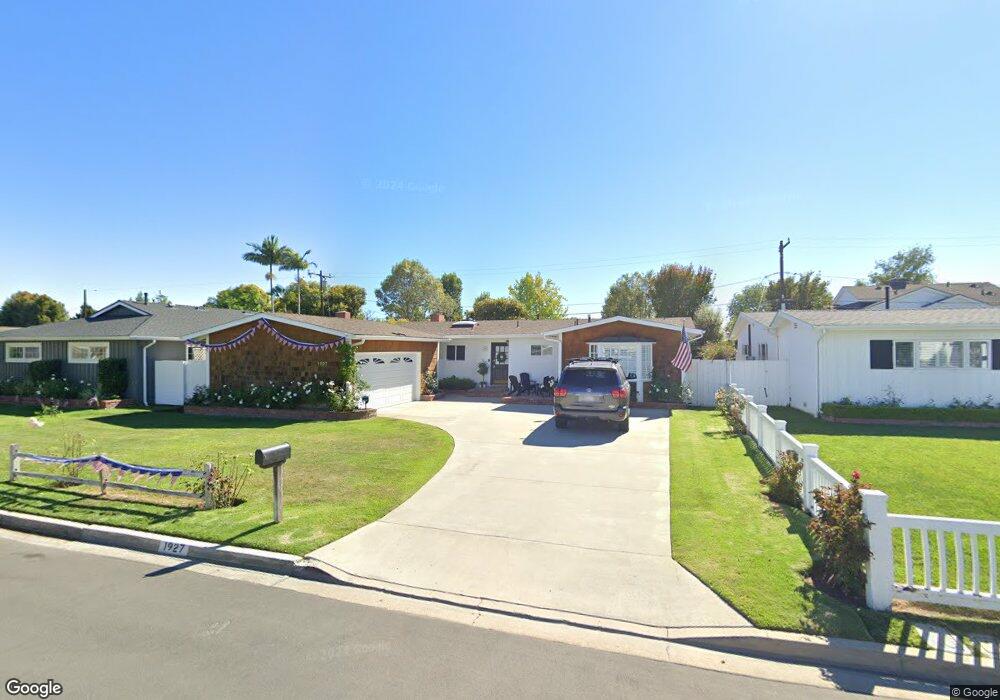
1927 Teresita Ln Newport Beach, CA 92660
Mariners NeighborhoodEstimated Value: $2,303,000 - $2,649,000
3
Beds
2
Baths
1,353
Sq Ft
$1,803/Sq Ft
Est. Value
About This Home
This home is located at 1927 Teresita Ln, Newport Beach, CA 92660 and is currently estimated at $2,439,714, approximately $1,803 per square foot. 1927 Teresita Ln is a home located in Orange County with nearby schools including Mariners Elementary School, Horace Ensign Intermediate School, and Newport Harbor High School.
Ownership History
Date
Name
Owned For
Owner Type
Purchase Details
Closed on
Oct 2, 2008
Sold by
Slater Edward J
Bought by
Lucas Robert K and The Robert Zachary Lucas Trust
Current Estimated Value
Home Financials for this Owner
Home Financials are based on the most recent Mortgage that was taken out on this home.
Original Mortgage
$725,000
Interest Rate
6.37%
Mortgage Type
Purchase Money Mortgage
Purchase Details
Closed on
Jan 29, 2001
Sold by
Slater Edward J and Slater Dorothy M
Bought by
Slater Edward J and Slater Dorothy M
Purchase Details
Closed on
May 31, 1994
Sold by
King J B and King Bettie S
Bought by
Slater Edward J and Slater Dorothy M
Home Financials for this Owner
Home Financials are based on the most recent Mortgage that was taken out on this home.
Original Mortgage
$300,000
Interest Rate
8.6%
Create a Home Valuation Report for This Property
The Home Valuation Report is an in-depth analysis detailing your home's value as well as a comparison with similar homes in the area
Home Values in the Area
Average Home Value in this Area
Purchase History
| Date | Buyer | Sale Price | Title Company |
|---|---|---|---|
| Lucas Robert K | -- | First American Title Company | |
| Slater Edward J | -- | -- | |
| Slater Edward J | $340,000 | Chicago Title Company |
Source: Public Records
Mortgage History
| Date | Status | Borrower | Loan Amount |
|---|---|---|---|
| Previous Owner | Lucas Robert K | $725,000 | |
| Previous Owner | Slater Edward J | $300,000 |
Source: Public Records
Tax History Compared to Growth
Tax History
| Year | Tax Paid | Tax Assessment Tax Assessment Total Assessment is a certain percentage of the fair market value that is determined by local assessors to be the total taxable value of land and additions on the property. | Land | Improvement |
|---|---|---|---|---|
| 2025 | $13,132 | $1,223,370 | $1,120,261 | $103,109 |
| 2024 | $13,132 | $1,199,383 | $1,098,295 | $101,088 |
| 2023 | $12,825 | $1,175,866 | $1,076,760 | $99,106 |
| 2022 | $12,595 | $1,152,810 | $1,055,647 | $97,163 |
| 2021 | $12,348 | $1,130,206 | $1,034,948 | $95,258 |
| 2020 | $12,230 | $1,118,618 | $1,024,336 | $94,282 |
| 2019 | $11,982 | $1,096,685 | $1,004,251 | $92,434 |
| 2018 | $11,747 | $1,075,182 | $984,560 | $90,622 |
| 2017 | $11,542 | $1,054,100 | $965,254 | $88,846 |
| 2016 | $11,284 | $1,033,432 | $946,328 | $87,104 |
| 2015 | $11,176 | $1,017,909 | $932,113 | $85,796 |
| 2014 | $10,914 | $997,970 | $913,854 | $84,116 |
Source: Public Records
Map
Nearby Homes
- 1512 Sylvia Ln
- 1801 Beryl Ln
- 1812 Highland Dr
- 476 Costa Mesa St
- 1700 Highland Dr
- 1530 Anita Ln
- 2039 Irvine Ave
- 1721 Antigua Way
- 1751 Candlestick Ln
- 1717 Irvine Ave
- 1412 Santiago Dr
- 2042 Aliso Ave
- 1921 Windward Ln
- 1331 Antigua Way
- 1806 Leeward Ln
- 418 Broadway
- 418 E Bay St
- 1212 Dover Dr
- 1235 Santiago Dr
- 366 Esther St
- 1921 Teresita Ln
- 1933 Teresita Ln
- 2000 Deborah Ln
- 1918 Deborah Ln
- 1915 Teresita Ln
- 1939 Teresita Ln
- 1912 Deborah Ln
- 1924 Teresita Ln
- 1930 Teresita Ln
- 1918 Teresita Ln
- 1936 Teresita Ln
- 2012 Deborah Ln
- 1907 Teresita Ln
- 1906 Deborah Ln
- 1912 Teresita Ln
- 1945 Teresita Ln
- 1940 Teresita Ln
- 2018 Deborah Ln
- 1901 Teresita Ln
- 1921 Deborah Ln