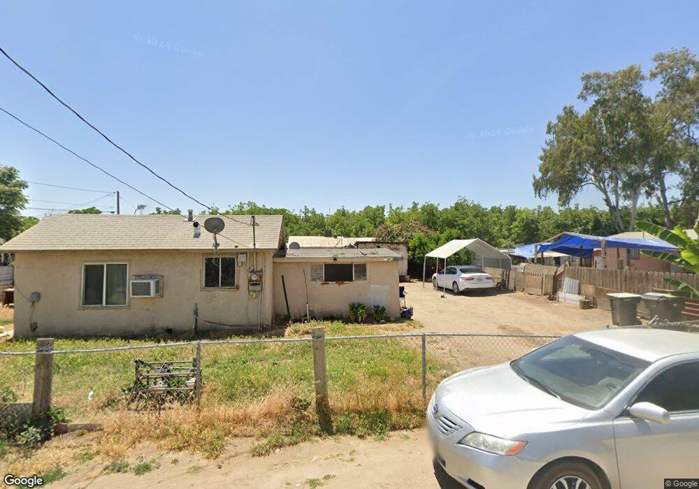
19272 Avenue 144 Poplar, CA 93257
Estimated Value: $88,000 - $236,277
2
Beds
1
Bath
730
Sq Ft
$271/Sq Ft
Est. Value
About This Home
This home is located at 19272 Avenue 144, Poplar, CA 93257 and is currently estimated at $197,819, approximately $270 per square foot. 19272 Avenue 144 is a home located in Tulare County with nearby schools including Pleasant View Elementary School, Monache High School, and Strathmore High School.
Ownership History
Date
Name
Owned For
Owner Type
Purchase Details
Closed on
Aug 5, 2020
Sold by
Novoa Felipe
Bought by
Palomar Patricia
Current Estimated Value
Purchase Details
Closed on
Dec 11, 2017
Sold by
Novoa Alfonso and Novoa Felipe
Bought by
Novoa Felipe
Purchase Details
Closed on
Jan 6, 2016
Sold by
Matthews Douglas
Bought by
Novoa Alonso and Novoa Felipe
Purchase Details
Closed on
Aug 30, 2013
Sold by
Thulin John R
Bought by
Matthews Douglas G and Wallace Charis
Purchase Details
Closed on
Mar 4, 1998
Sold by
Thulin Evelyn M
Bought by
Thulin John R
Create a Home Valuation Report for This Property
The Home Valuation Report is an in-depth analysis detailing your home's value as well as a comparison with similar homes in the area
Home Values in the Area
Average Home Value in this Area
Purchase History
| Date | Buyer | Sale Price | Title Company |
|---|---|---|---|
| Palomar Patricia | $60,000 | First American Title Company | |
| Novoa Felipe | -- | None Available | |
| Novoa Alonso | $28,000 | Chicago Title Company | |
| Matthews Douglas G | $23,100 | None Available | |
| Thulin John R | -- | -- |
Source: Public Records
Tax History Compared to Growth
Tax History
| Year | Tax Paid | Tax Assessment Tax Assessment Total Assessment is a certain percentage of the fair market value that is determined by local assessors to be the total taxable value of land and additions on the property. | Land | Improvement |
|---|---|---|---|---|
| 2025 | $658 | $64,944 | $32,472 | $32,472 |
| 2024 | $658 | $63,672 | $31,836 | $31,836 |
| 2023 | $658 | $62,424 | $31,212 | $31,212 |
| 2022 | $631 | $61,200 | $30,600 | $30,600 |
| 2021 | $623 | $60,000 | $30,000 | $30,000 |
| 2020 | $313 | $30,308 | $16,236 | $14,072 |
| 2019 | $307 | $29,714 | $15,918 | $13,796 |
| 2018 | $301 | $29,131 | $15,606 | $13,525 |
| 2017 | $296 | $28,560 | $15,300 | $13,260 |
| 2016 | $247 | $24,336 | $10,356 | $13,980 |
| 2015 | $243 | $23,970 | $10,200 | $13,770 |
| 2014 | $467 | $46,242 | $22,795 | $23,447 |
Source: Public Records
Map
Nearby Homes
- 0 SW Road 192 Unit#19
- 0 SW Road 192 Unit #21 Unit 232747
- 0 SW Road 192 Unit# 20
- 14725 Walker Rd
- 13250 Road 184
- 13291 Road 184
- 17771 Avenue 152
- 18925 Avenue 168
- 249 S Westwood St
- 15247 Road 223
- 0 Avenue 168 Unit 237962
- 0 Avenue 168 Unit 235558
- 2280 W Glenn Ave
- 1448 S Westwood Rd
- 575 N Brandy Way
- 100 S Westwood St Unit 1
- 100 S Westwood St Unit 17
- 100 S Westwood St
- 100 S Westwood St Unit Lot 105
- 100 S Westwood St Unit 110
- 19272 Avenue 144 Unit D
- 19272 Ave 144 # D
- 19297 Avenue 144 Unit 3-4
- 19297 Avenue 144 Unit 5-6
- 19297 Avenue 144 Unit 36
- 19297 Avenue 144 Unit G
- 19297 Avenue 144
- 19271 N Wilson Place
- 14310 Cook St
- 314 S Cook St
- 14298 Road 192
- 14288 Wilson St
- 14286 Wilson St
- 14320 Cook St
- 19325 Avenue 111
- 19255 Avenue 144
- 19323 Avenue 144
- 19251 Avenue 144
- 19265 Avenue 144
- 19337 Avenue 144