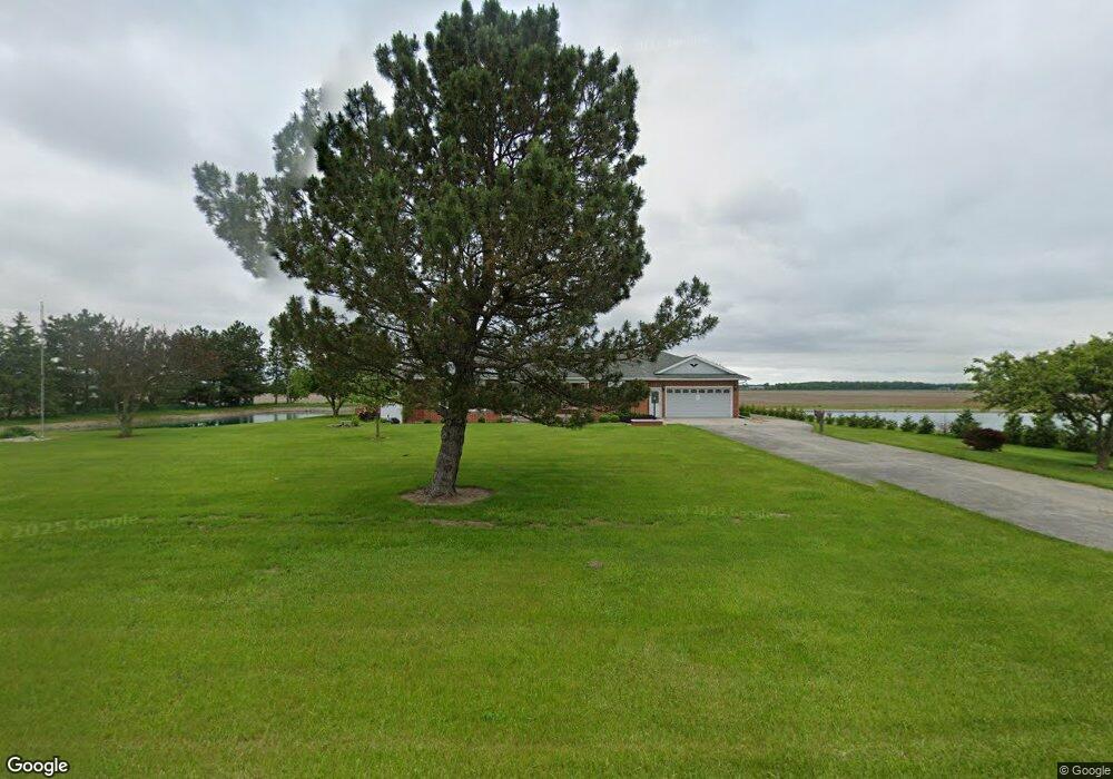
19277 State Route 613 Oakwood, OH 45873
Estimated Value: $230,000 - $266,000
3
Beds
2
Baths
2,112
Sq Ft
$118/Sq Ft
Est. Value
About This Home
This home is located at 19277 State Route 613, Oakwood, OH 45873 and is currently estimated at $249,875, approximately $118 per square foot. 19277 State Route 613 is a home located in Paulding County with nearby schools including Paulding High School.
Ownership History
Date
Name
Owned For
Owner Type
Purchase Details
Closed on
Oct 2, 2003
Sold by
Mullen Brenda
Bought by
Deitrick Gene Deitrick Karen
Current Estimated Value
Purchase Details
Closed on
Sep 30, 2003
Sold by
Mullen Brenda
Bought by
Deitrick Gene Deitrick Karen
Purchase Details
Closed on
Aug 19, 2003
Sold by
Stoller Dennis
Bought by
Deitrick Gene Deitrick Karen
Purchase Details
Closed on
Apr 5, 2002
Sold by
Mullen Brenda
Bought by
Deitrick Gene Deitrick Karen
Purchase Details
Closed on
Jan 1, 1990
Bought by
Deitrick Gene Deitrick Karen
Create a Home Valuation Report for This Property
The Home Valuation Report is an in-depth analysis detailing your home's value as well as a comparison with similar homes in the area
Home Values in the Area
Average Home Value in this Area
Purchase History
| Date | Buyer | Sale Price | Title Company |
|---|---|---|---|
| Deitrick Gene Deitrick Karen | $120,000 | -- | |
| Deitrick Gene Deitrick Karen | -- | -- | |
| Deitrick Gene Deitrick Karen | -- | -- | |
| Deitrick Gene Deitrick Karen | -- | -- | |
| Deitrick Gene Deitrick Karen | -- | -- |
Source: Public Records
Tax History Compared to Growth
Tax History
| Year | Tax Paid | Tax Assessment Tax Assessment Total Assessment is a certain percentage of the fair market value that is determined by local assessors to be the total taxable value of land and additions on the property. | Land | Improvement |
|---|---|---|---|---|
| 2024 | $1,732 | $59,080 | $7,210 | $51,870 |
| 2023 | $1,732 | $59,080 | $7,210 | $51,870 |
| 2022 | $1,759 | $59,080 | $7,210 | $51,870 |
| 2021 | $1,493 | $48,200 | $7,040 | $41,160 |
| 2020 | $1,541 | $48,200 | $7,040 | $41,160 |
| 2019 | $1,554 | $41,060 | $7,040 | $34,020 |
| 2018 | $1,282 | $41,060 | $7,040 | $34,020 |
| 2017 | $1,283 | $41,060 | $7,040 | $34,020 |
| 2016 | $1,284 | $41,060 | $7,040 | $34,020 |
| 2015 | $1,224 | $39,910 | $6,620 | $33,290 |
| 2014 | $1,201 | $39,910 | $6,620 | $33,290 |
| 2013 | $1,333 | $39,910 | $6,620 | $33,290 |
Source: Public Records
Map
Nearby Homes
- 9885 Road 171
- 9917 Road 171
- 613 Oh-613 County Rd
- 106 Jackson St
- 104 Jackson St
- 113 Superior St
- 9150 State Route 66
- 12288 Road 179
- 14830 Road 126
- 301 E Wayne St
- 201 N Main St
- 100 N Maple St
- 14255 Road 126
- 21887 Road 166
- 7841 Road 25
- 14326 Road 171
- 14363 County Road 171
- 14354 Road 171
- 225 2nd St
- 12783 Road 82