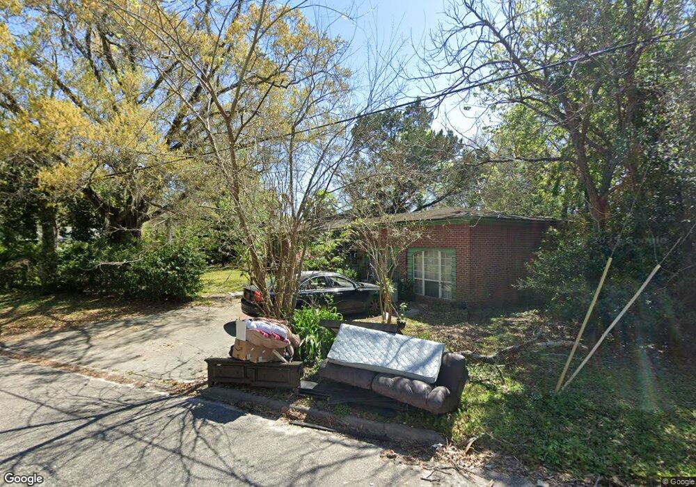
1928 Allandale Cir S Jacksonville, FL 32254
West Jacksonville NeighborhoodEstimated Value: $119,000 - $175,000
3
Beds
1
Bath
1,581
Sq Ft
$88/Sq Ft
Est. Value
About This Home
This home is located at 1928 Allandale Cir S, Jacksonville, FL 32254 and is currently estimated at $139,140, approximately $88 per square foot. 1928 Allandale Cir S is a home located in Duval County with nearby schools including Biltmore Elementary School, Lake Shore Middle School, and William M. Raines High School.
Ownership History
Date
Name
Owned For
Owner Type
Purchase Details
Closed on
Jun 22, 2001
Sold by
Tygart Frederick B
Bought by
Johnson Bettye Mcghee and Priester William D
Current Estimated Value
Home Financials for this Owner
Home Financials are based on the most recent Mortgage that was taken out on this home.
Original Mortgage
$67,225
Outstanding Balance
$25,663
Interest Rate
7.17%
Estimated Equity
$113,477
Create a Home Valuation Report for This Property
The Home Valuation Report is an in-depth analysis detailing your home's value as well as a comparison with similar homes in the area
Home Values in the Area
Average Home Value in this Area
Purchase History
| Date | Buyer | Sale Price | Title Company |
|---|---|---|---|
| Johnson Bettye Mcghee | -- | Enterprise Title & Escrow In |
Source: Public Records
Mortgage History
| Date | Status | Borrower | Loan Amount |
|---|---|---|---|
| Open | Johnson Bettye Mcghee | $67,225 |
Source: Public Records
Tax History Compared to Growth
Tax History
| Year | Tax Paid | Tax Assessment Tax Assessment Total Assessment is a certain percentage of the fair market value that is determined by local assessors to be the total taxable value of land and additions on the property. | Land | Improvement |
|---|---|---|---|---|
| 2025 | $222 | $31,457 | -- | -- |
| 2024 | $212 | $30,571 | -- | -- |
| 2023 | $212 | $29,681 | $0 | $0 |
| 2022 | $268 | $28,817 | $0 | $0 |
| 2021 | $255 | $27,978 | $0 | $0 |
| 2020 | $249 | $27,592 | $0 | $0 |
| 2019 | $238 | $26,972 | $0 | $0 |
| 2018 | $229 | $26,470 | $0 | $0 |
| 2017 | $220 | $25,926 | $0 | $0 |
| 2016 | $212 | $25,393 | $0 | $0 |
| 2015 | $212 | $25,217 | $0 | $0 |
| 2014 | $212 | $25,017 | $0 | $0 |
Source: Public Records
Map
Nearby Homes
- 1739 Melson Ave
- 2171 Allandale Cir N
- 2039 Allandale Cir E
- 2118 Detroit St
- 1630 Detroit St
- 3108 W 6th St
- 3142 W 6th St
- 2913 W 10th St
- 3047 W 12th St
- 3070 W 15th St
- 2944 W 12th St
- 3153 W 15th St
- 2963 W 12th St
- 3033 W 15th St
- 2846 W 8th St
- 2962 W 16th St
- 0 Detroit St
- 3125 3rd Street Cir S
- 3142 3rd Street Cir S
- 3055 2nd St Cir
- 1912 Prospect St W
- 1940 Allandale Cir S
- 1940 S Allandale Cir
- 1948 Allandale Cir S
- 1902 Prospect St W
- 3133 W 9th St
- 1931 Allandale Cir S
- 1937 S Allandale Cir
- 1925 Prospect St W
- 1919 Prospect St W
- 1947 Allandale Cir W
- 1933 Prospect St W
- 3141 W 9th St
- 1905 Prospect St W
- 2007 Prospect St W
- 2018 Prospect St W
- 1954 Allandale Cir S
- 3149 W 9th St
- 3079 W 9th St
- 2021 Allandale Cir W