1928 Cattail Point Unit 48 Springfield, OH 45502
Estimated Value: $244,000 - $301,000
3
Beds
3
Baths
1,659
Sq Ft
$172/Sq Ft
Est. Value
About This Home
This home is located at 1928 Cattail Point Unit 48, Springfield, OH 45502 and is currently estimated at $285,246, approximately $171 per square foot. 1928 Cattail Point Unit 48 is a home located in Clark County with nearby schools including Rolling Hills Elementary School, Northridge Middle School, and Kenton Ridge Middle & High School.
Ownership History
Date
Name
Owned For
Owner Type
Purchase Details
Closed on
Aug 25, 2011
Sold by
Walter Paul C and Walter Lois M
Bought by
Mcatee Patrick T and Mcatee Susan L
Current Estimated Value
Home Financials for this Owner
Home Financials are based on the most recent Mortgage that was taken out on this home.
Original Mortgage
$107,600
Outstanding Balance
$74,697
Interest Rate
4.55%
Mortgage Type
New Conventional
Estimated Equity
$210,549
Purchase Details
Closed on
Feb 2, 2011
Sold by
Bankunited
Bought by
Walter Paul C and Walter Lois M
Purchase Details
Closed on
Nov 8, 2010
Sold by
Emery Glenda R and Case #10 Cv 365
Bought by
Bankunited and Fdic
Purchase Details
Closed on
May 14, 2004
Sold by
Hbh Builders Ltd
Bought by
Emery Glenda R
Home Financials for this Owner
Home Financials are based on the most recent Mortgage that was taken out on this home.
Original Mortgage
$135,100
Interest Rate
5.63%
Mortgage Type
Purchase Money Mortgage
Create a Home Valuation Report for This Property
The Home Valuation Report is an in-depth analysis detailing your home's value as well as a comparison with similar homes in the area
Home Values in the Area
Average Home Value in this Area
Purchase History
| Date | Buyer | Sale Price | Title Company |
|---|---|---|---|
| Mcatee Patrick T | $134,500 | Ohio Real Estate Title | |
| Walter Paul C | $103,500 | Landcastle Title Llc | |
| Bankunited | $110,000 | None Available | |
| Emery Glenda R | $142,400 | -- |
Source: Public Records
Mortgage History
| Date | Status | Borrower | Loan Amount |
|---|---|---|---|
| Open | Mcatee Patrick T | $107,600 | |
| Previous Owner | Emery Glenda R | $135,100 |
Source: Public Records
Tax History Compared to Growth
Tax History
| Year | Tax Paid | Tax Assessment Tax Assessment Total Assessment is a certain percentage of the fair market value that is determined by local assessors to be the total taxable value of land and additions on the property. | Land | Improvement |
|---|---|---|---|---|
| 2024 | $2,665 | $63,010 | $11,100 | $51,910 |
| 2023 | $2,665 | $63,010 | $11,100 | $51,910 |
| 2022 | $2,675 | $63,010 | $11,100 | $51,910 |
| 2021 | $2,858 | $57,000 | $9,100 | $47,900 |
| 2020 | $2,860 | $57,000 | $9,100 | $47,900 |
| 2019 | $2,914 | $57,000 | $9,100 | $47,900 |
| 2018 | $2,754 | $51,590 | $9,630 | $41,960 |
| 2017 | $2,361 | $45,147 | $9,625 | $35,522 |
| 2016 | $2,345 | $45,147 | $9,625 | $35,522 |
| 2015 | $2,159 | $44,272 | $8,750 | $35,522 |
| 2014 | $2,159 | $44,272 | $8,750 | $35,522 |
| 2013 | $2,109 | $44,272 | $8,750 | $35,522 |
Source: Public Records
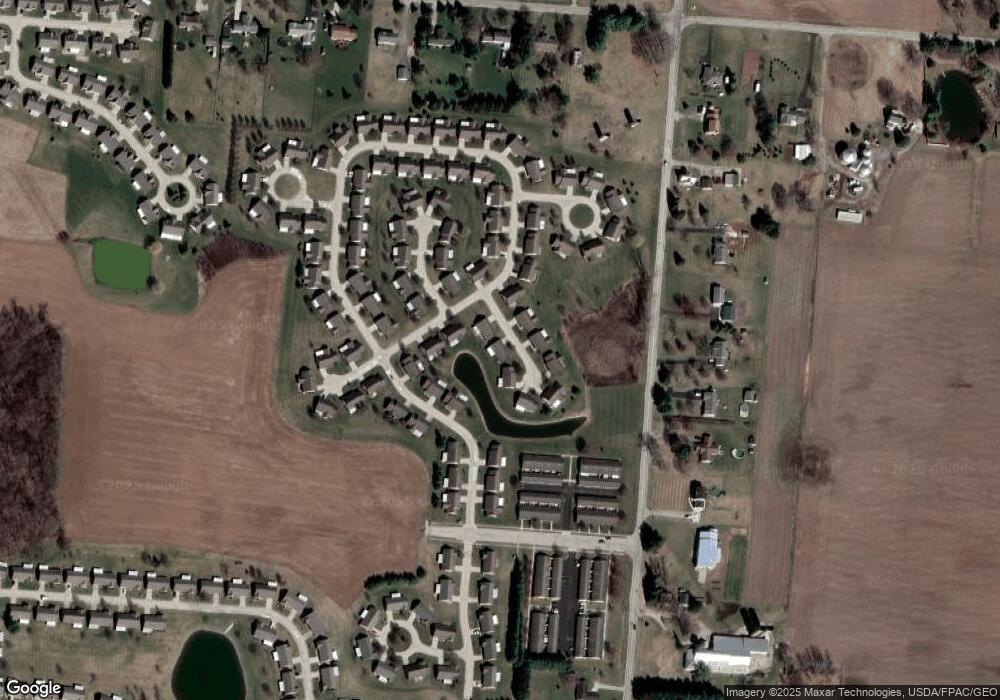
Map
Nearby Homes
- 1902 Willow Lakes Dr Unit 71
- 1888 Birchwood Ct
- 1527 Oldham Dr
- 1470 Oldham Dr Unit 12
- 5794 Winfield Dr
- 5220 Ridgewood Rd E
- 5249 Taywell Dr
- 5127 Stoneridge Dr
- 4924 Brannan Dr E Unit 4924
- 1709 Thomas Dr
- 4849 Ashley Dr
- 4825 Chippendale Dr
- 4740 Merrimont Ave
- 4620 Eldora St
- 4620 Eldora Dr
- 4644 Middle Urbana Rd
- 4524 Ridgewood Rd E
- 4512 Ridgewood Rd E
- 1835 Sierra Ave
- 1926 Cattail Point
- 1926 Cattail Point Unit 47
- 1930 Cattail Point Unit 49
- 1930 Cattail Point
- 1916 Cattail Point
- 1918 Cattail Point Unit 43
- 1932 Willow Lakes Dr Unit 50
- 1920 Cattail Point Unit 44
- 1912 Willow Lakes Dr Unit 41
- 1924 Cattail Point Unit 46
- 1952 Willow Lakes Dr Unit 51
- 1756 Willow Lakes Dr
- 1922 Cattail Point Unit 45
- 1760 Willow Lakes Dr
- 1914 Willow Lakes Dr Unit 73
- 1934 Shady Oak Ct
- 1910 Willow Lakes Dr Unit 40
- 1764 Willow Lakes Dr Unit 52
- 1764 Willow Lakes Dr
- 1950 Shady Oak Ct Unit 82