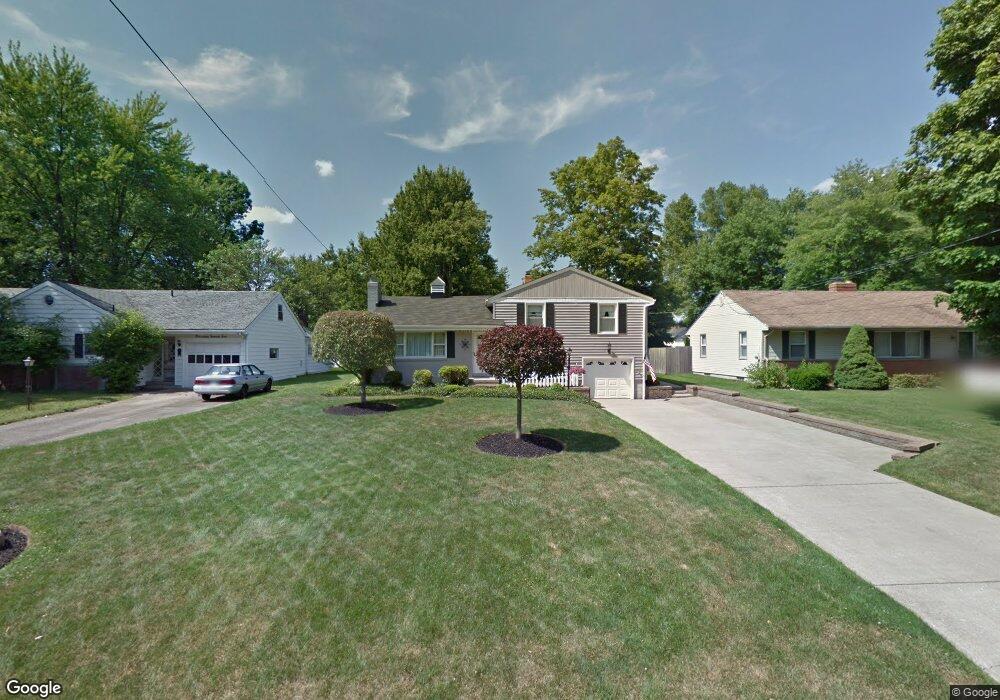
1928 Cover Dr Youngstown, OH 44514
Estimated Value: $231,000 - $269,000
3
Beds
2
Baths
1,877
Sq Ft
$132/Sq Ft
Est. Value
About This Home
This home is located at 1928 Cover Dr, Youngstown, OH 44514 and is currently estimated at $247,490, approximately $131 per square foot. 1928 Cover Dr is a home located in Mahoning County with nearby schools including Poland Union Elementary School, Poland Middle School, and Poland Seminary High School.
Ownership History
Date
Name
Owned For
Owner Type
Purchase Details
Closed on
Jul 10, 2024
Sold by
Denmeade Paul A
Bought by
Gabriel Revocable Trust and Gabriel
Current Estimated Value
Purchase Details
Closed on
Dec 1, 2011
Sold by
Denmeade Paul and Denmeade Deborah K
Bought by
Denmeade Paul A and Denmeade Deborah K
Purchase Details
Closed on
Apr 15, 1983
Bought by
Denmeade Paul and Denmeade Deborah K
Create a Home Valuation Report for This Property
The Home Valuation Report is an in-depth analysis detailing your home's value as well as a comparison with similar homes in the area
Home Values in the Area
Average Home Value in this Area
Purchase History
| Date | Buyer | Sale Price | Title Company |
|---|---|---|---|
| Gabriel Revocable Trust | -- | None Listed On Document | |
| Gabriel Revocable Trust | -- | None Listed On Document | |
| Denmeade Paul A | -- | None Available | |
| Denmeade Paul | -- | -- |
Source: Public Records
Tax History Compared to Growth
Tax History
| Year | Tax Paid | Tax Assessment Tax Assessment Total Assessment is a certain percentage of the fair market value that is determined by local assessors to be the total taxable value of land and additions on the property. | Land | Improvement |
|---|---|---|---|---|
| 2024 | $3,410 | $66,490 | $8,370 | $58,120 |
| 2023 | $3,369 | $66,490 | $8,370 | $58,120 |
| 2022 | $2,689 | $44,090 | $8,500 | $35,590 |
| 2021 | $2,167 | $44,090 | $8,500 | $35,590 |
| 2020 | $2,175 | $44,090 | $8,500 | $35,590 |
| 2019 | $1,879 | $36,430 | $7,020 | $29,410 |
| 2018 | $1,743 | $36,430 | $7,020 | $29,410 |
| 2017 | $1,740 | $36,430 | $7,020 | $29,410 |
| 2016 | $1,522 | $31,940 | $7,020 | $24,920 |
| 2015 | $2,055 | $31,940 | $7,020 | $24,920 |
| 2014 | $2,062 | $31,940 | $7,020 | $24,920 |
| 2013 | $2,038 | $31,940 | $7,020 | $24,920 |
Source: Public Records
Map
Nearby Homes
- 1827 Alverne Dr
- 1804 Alverne Dr
- 1738 Island Dr
- 1 Michigan Ave
- 43 Venloe Dr
- 34 Venloe Dr
- 2035 Woodward Ave
- 1894 Lealand Ave
- 2295 Bel Aire Ln
- 2379 Clyde St
- 8360 South Ave
- 1859 Mathews Rd
- 1890 Mathews Rd
- 2307 Hamilton Ave
- 2153 Lyon Blvd
- 2128 Lyon Blvd
- 6074 Frontier Dr
- 0 Mathews Rd Unit 5149232
- 0 Mathews Rd Unit 5143059
- 5710 Youngstown Poland Rd
- 1922 Cover Dr
- 1936 Cover Dr
- 1916 Cover Dr
- 1942 Cover Dr
- 123 Massachusetts Ave
- 121 Massachusetts Ave
- 1910 Cover Dr
- 1948 Cover Dr
- 1927 Cover Dr
- 1921 Cover Dr
- 1933 Cover Dr
- 133 Massachusetts Ave
- 1915 Cover Dr
- 1904 Cover Dr
- 119 Massachusetts Ave
- 1939 Cover Dr
- 115 Massachusetts Ave
- 1909 Cover Dr
- 1945 Cover Dr
- 1898 Cover Dr