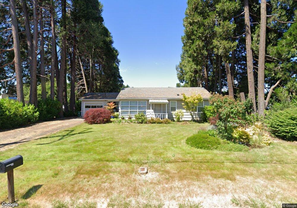
1928 Oak St Forest Grove, OR 97116
Estimated Value: $322,000 - $402,000
2
Beds
1
Bath
925
Sq Ft
$400/Sq Ft
Est. Value
About This Home
This home is located at 1928 Oak St, Forest Grove, OR 97116 and is currently estimated at $369,550, approximately $399 per square foot. 1928 Oak St is a home located in Washington County with nearby schools including Joseph Gale Elementary School, Neil Armstrong Middle School, and Tom McCall Upper Elementary School.
Ownership History
Date
Name
Owned For
Owner Type
Purchase Details
Closed on
Jan 27, 2011
Sold by
Lee Ruth M
Bought by
Miller Gregory K
Current Estimated Value
Purchase Details
Closed on
May 20, 2010
Sold by
Lee Ruth M
Bought by
Miller Gregory K
Home Financials for this Owner
Home Financials are based on the most recent Mortgage that was taken out on this home.
Original Mortgage
$108,000
Interest Rate
5.21%
Mortgage Type
New Conventional
Purchase Details
Closed on
Nov 7, 2007
Sold by
Lee Everett M
Bought by
Ruth M Lee Trust
Purchase Details
Closed on
Jul 10, 2007
Sold by
Lee Everett M
Bought by
Lee Ruth M
Purchase Details
Closed on
Oct 31, 2006
Sold by
Lee Everett M
Bought by
Lee Everett M and Everett M Lee Revocable Living Trust
Create a Home Valuation Report for This Property
The Home Valuation Report is an in-depth analysis detailing your home's value as well as a comparison with similar homes in the area
Home Values in the Area
Average Home Value in this Area
Purchase History
| Date | Buyer | Sale Price | Title Company |
|---|---|---|---|
| Miller Gregory K | -- | First American | |
| Miller Gregory K | $138,000 | First American | |
| Ruth M Lee Trust | -- | None Available | |
| Lee Ruth M | -- | None Available | |
| Lee Everett M | -- | None Available |
Source: Public Records
Mortgage History
| Date | Status | Borrower | Loan Amount |
|---|---|---|---|
| Previous Owner | Miller Gregory K | $108,000 |
Source: Public Records
Tax History Compared to Growth
Tax History
| Year | Tax Paid | Tax Assessment Tax Assessment Total Assessment is a certain percentage of the fair market value that is determined by local assessors to be the total taxable value of land and additions on the property. | Land | Improvement |
|---|---|---|---|---|
| 2026 | $2,447 | $137,380 | -- | -- |
| 2025 | $2,447 | $133,380 | -- | -- |
| 2024 | $2,360 | $129,500 | -- | -- |
| 2023 | $2,360 | $125,730 | $0 | $0 |
| 2022 | $2,064 | $125,730 | $0 | $0 |
| 2021 | $2,037 | $118,520 | $0 | $0 |
| 2020 | $2,026 | $115,070 | $0 | $0 |
| 2019 | $1,981 | $111,720 | $0 | $0 |
| 2018 | $1,920 | $108,470 | $0 | $0 |
| 2017 | $1,861 | $105,320 | $0 | $0 |
| 2016 | $1,809 | $102,260 | $0 | $0 |
| 2015 | $1,739 | $99,290 | $0 | $0 |
| 2014 | $1,731 | $96,400 | $0 | $0 |
Source: Public Records
Map
Nearby Homes
- 3404 19th Ave Unit 103
- 3404 19th Ave Unit 215
- 1835 Tamarack Ct
- 2902 19th Ave
- 0 Kingwood St
- 2824 19th Ave
- 3831 Pacific Ave Unit D5
- 3831 Pacific Ave Unit D2
- 2366 Kingwood St
- 3128 Brittany Dr
- 3213 Maple Place
- 2828 22nd Ave Unit 3
- 2828 22nd Ave Unit 5
- 2815 18th Ave
- 1832 Vine Ct
- 2358 Kingwood St
- 3839 Pacific Ave Unit 102
- 2369 NW Martin Rd
- 2303 NW Martin Rd
- 2341 NW Martin Rd
- 1916 Oak St
- 1921 Oak St Unit ST.
- 1921 Oak St
- 1935 Oak St
- 1904 Oak St
- 1915 Oak St
- 3305 19th Ave
- 1909 Oak St
- 3335 19th Ave
- 3406 Pacific Ave
- 3322 Pacific Ave Unit 1
- 3400 19th Ave
- 1951 Oak St
- 3412 Pacific Ave
- 3320 19th Ave
- 3303 19th Ave
- 3404 19th (Unit #214) Ave
- 3438 Pacific Ave
- 1948 Poplar St
- 1844 Poplar St