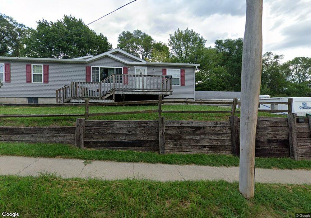
1928 Rustin St Sioux City, IA 51105
East Side Sioux City NeighborhoodEstimated Value: $193,000 - $258,000
3
Beds
3
Baths
2,371
Sq Ft
$97/Sq Ft
Est. Value
About This Home
This home is located at 1928 Rustin St, Sioux City, IA 51105 and is currently estimated at $229,795, approximately $96 per square foot. 1928 Rustin St is a home located in Woodbury County with nearby schools including Unity Elementary School, East Middle School, and East High School.
Ownership History
Date
Name
Owned For
Owner Type
Purchase Details
Closed on
Mar 25, 2024
Sold by
Nelson Jeffrey J and Nelson Sara L
Bought by
Lundquist Ricky and Lundquist Jamie
Current Estimated Value
Home Financials for this Owner
Home Financials are based on the most recent Mortgage that was taken out on this home.
Original Mortgage
$191,958
Outstanding Balance
$188,848
Interest Rate
6.77%
Mortgage Type
FHA
Estimated Equity
$40,947
Create a Home Valuation Report for This Property
The Home Valuation Report is an in-depth analysis detailing your home's value as well as a comparison with similar homes in the area
Home Values in the Area
Average Home Value in this Area
Purchase History
| Date | Buyer | Sale Price | Title Company |
|---|---|---|---|
| Lundquist Ricky | $195,500 | None Listed On Document |
Source: Public Records
Mortgage History
| Date | Status | Borrower | Loan Amount |
|---|---|---|---|
| Open | Lundquist Ricky | $191,958 |
Source: Public Records
Tax History Compared to Growth
Tax History
| Year | Tax Paid | Tax Assessment Tax Assessment Total Assessment is a certain percentage of the fair market value that is determined by local assessors to be the total taxable value of land and additions on the property. | Land | Improvement |
|---|---|---|---|---|
| 2025 | $3,812 | $259,300 | $21,600 | $237,700 |
| 2024 | $3,812 | $219,500 | $21,600 | $197,900 |
| 2023 | $4,150 | $219,500 | $21,600 | $197,900 |
| 2022 | $2,394 | $206,900 | $19,800 | $187,100 |
| 2021 | $2,394 | $121,500 | $19,800 | $101,700 |
| 2020 | $2,252 | $110,600 | $16,900 | $93,700 |
| 2019 | $2,204 | $97,600 | $0 | $0 |
| 2018 | $2,176 | $97,600 | $0 | $0 |
| 2017 | $2,082 | $91,800 | $0 | $0 |
| 2016 | $2,058 | $91,800 | $0 | $0 |
| 2015 | $2,396 | $91,800 | $11,600 | $80,200 |
| 2014 | $2,396 | $105,300 | $13,600 | $91,700 |
Source: Public Records
Map
Nearby Homes
- 1700 Irene St
- 1409 Rustin St
- 1010 Pacific St
- 2615 11th St
- 3221 11th St
- 909 Alice St
- 2909 9th St
- 904-822-821 Lewis Blvd Dubuque St
- 1220 Saint Marys St
- 3011 7th St
- 2323 Floyd Blvd
- 2900 Anna Cr
- 3700 28th St Unit 133A
- 3700 28th St Unit 337
- 2941 Addison Cr
- 1330 22nd St
- 1417 24th St
- 2911-13 Chestnut Ave
- 301 Logan St
- 1201 18th St
- 1904 Rustin St
- 1904 Rustin St
- 2912 20th St
- 1900 Rustin St
- 2908 20th St
- 1857 Glendale Blvd
- 1859 Glendale Blvd
- 1845 Glendale Blvd
- 1917 Rustin St
- 1909 Rustin St
- 2904 20th St
- 1905 Rustin St
- 1901 Rustin St
- 1839 Glendale Blvd
- 2915 20th St
- 2901 20th St
- 1833 Glendale Blvd
- 1842 Glendale Blvd
- 2004 Rustin St
- 2909 20th St