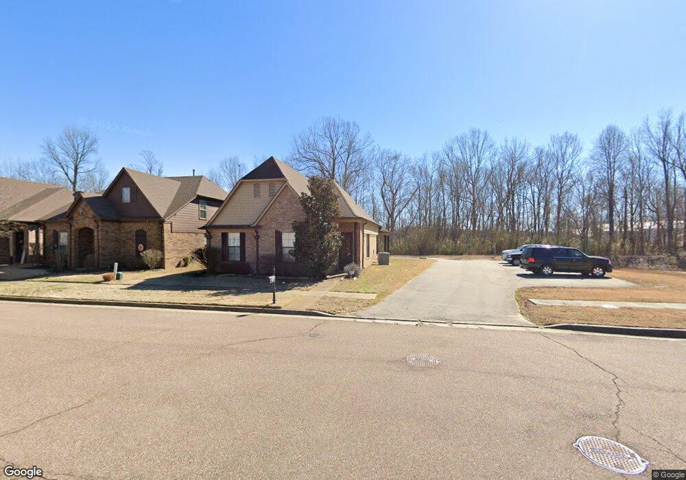
1928 S Bend Dr Cordova, TN 38016
Cordova NeighborhoodEstimated Value: $272,985 - $288,000
3
Beds
2
Baths
1,394
Sq Ft
$203/Sq Ft
Est. Value
About This Home
This home is located at 1928 S Bend Dr, Cordova, TN 38016 and is currently estimated at $282,746, approximately $202 per square foot. 1928 S Bend Dr is a home located in Shelby County with nearby schools including Macon-Hall Elementary School, Mt. Pisgah Middle School, and Germantown High School.
Ownership History
Date
Name
Owned For
Owner Type
Purchase Details
Closed on
Mar 29, 2011
Sold by
Regency Homebuilders Llc
Bought by
Wilson Courtney M
Current Estimated Value
Home Financials for this Owner
Home Financials are based on the most recent Mortgage that was taken out on this home.
Original Mortgage
$127,094
Outstanding Balance
$87,478
Interest Rate
4.75%
Mortgage Type
FHA
Estimated Equity
$195,268
Create a Home Valuation Report for This Property
The Home Valuation Report is an in-depth analysis detailing your home's value as well as a comparison with similar homes in the area
Home Values in the Area
Average Home Value in this Area
Purchase History
| Date | Buyer | Sale Price | Title Company |
|---|---|---|---|
| Wilson Courtney M | $130,400 | None Available |
Source: Public Records
Mortgage History
| Date | Status | Borrower | Loan Amount |
|---|---|---|---|
| Open | Wilson Courtney M | $127,094 |
Source: Public Records
Tax History Compared to Growth
Tax History
| Year | Tax Paid | Tax Assessment Tax Assessment Total Assessment is a certain percentage of the fair market value that is determined by local assessors to be the total taxable value of land and additions on the property. | Land | Improvement |
|---|---|---|---|---|
| 2025 | $1,553 | $66,850 | $15,000 | $51,850 |
| 2024 | $1,553 | $45,800 | $9,975 | $35,825 |
| 2023 | $1,553 | $45,800 | $9,975 | $35,825 |
| 2022 | $1,553 | $45,800 | $9,975 | $35,825 |
| 2021 | $1,580 | $45,800 | $9,975 | $35,825 |
| 2020 | $1,480 | $36,550 | $9,975 | $26,575 |
| 2019 | $1,480 | $36,550 | $9,975 | $26,575 |
| 2018 | $1,480 | $36,550 | $9,975 | $26,575 |
| 2017 | $1,502 | $36,550 | $9,975 | $26,575 |
| 2016 | $1,472 | $33,675 | $0 | $0 |
| 2014 | $1,472 | $33,675 | $0 | $0 |
Source: Public Records
Map
Nearby Homes
- 1965 Rochelle Ln
- 9740 N Bloomington Cir
- 1977 Rochelle Ln
- 2003 S Bend Dr
- 9748 N Bloomington Cir
- 9744 N Bloomington Cir
- 1915 Talisker Dr
- 9931 Chivas Dr
- 1818 N Houston Levee Rd
- 1898 Glen Turret Dr
- 1832 Talisker Dr
- 1802 N Houston Levee Rd
- 9960 Oban Dr
- 1830 Speyburn Cove
- 0 Oldham Dr Unit 10208811
- 9904 Averbury Cove
- 1628 S Frence Creek Cove
- 1623 Farkleberry Dr
- 10021 Branley Oak Dr
- 1603 Blackalder Cove
- 1932 S Bend Dr
- 1940 S Bend Dr
- 1931 S Bend Dr
- 1921 Rochelle Ln
- 1944 S Bend Dr
- 1927 Rochelle Ln
- 1941 S Bend Dr
- 1948 S Bend Dr
- 1934 Rochelle Ln
- 1933 Rochelle Ln
- 1949 S Bend Dr
- 1952 S Bend Dr
- 1938 Rochelle Ln
- 1967 S Bend Dr
- 1956 S Bend Dr
- 1941 Rochelle Ln
- 1942 Rochelle Ln
- 1973 S Bend Dr
- 1960 S Bend Dr
- 1977 S Bend Dr