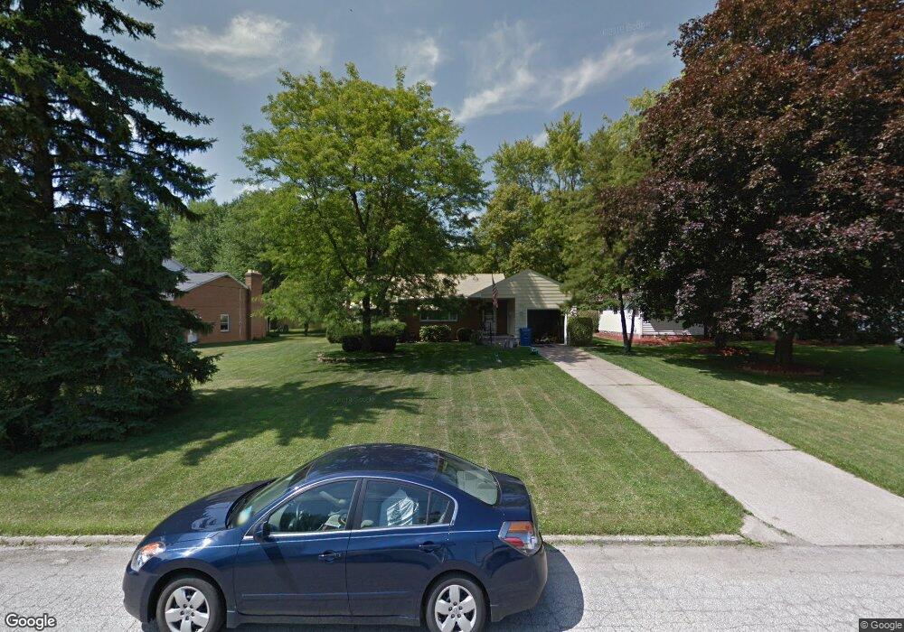
1928 Wendy Ln Youngstown, OH 44514
Estimated Value: $157,000 - $182,000
3
Beds
2
Baths
1,212
Sq Ft
$139/Sq Ft
Est. Value
About This Home
This home is located at 1928 Wendy Ln, Youngstown, OH 44514 and is currently estimated at $169,034, approximately $139 per square foot. 1928 Wendy Ln is a home located in Mahoning County with nearby schools including Poland Union Elementary School, Poland Middle School, and Poland Seminary High School.
Ownership History
Date
Name
Owned For
Owner Type
Purchase Details
Closed on
Jun 16, 2015
Sold by
Morse Ernest F and Morse Theresa Marie
Bought by
1928 Wendy Lane Llc
Current Estimated Value
Purchase Details
Closed on
Nov 22, 2010
Sold by
Davison Lois Rae
Bought by
Morse Ernest F
Purchase Details
Closed on
Mar 3, 1987
Bought by
Davison Lois R
Create a Home Valuation Report for This Property
The Home Valuation Report is an in-depth analysis detailing your home's value as well as a comparison with similar homes in the area
Home Values in the Area
Average Home Value in this Area
Purchase History
| Date | Buyer | Sale Price | Title Company |
|---|---|---|---|
| 1928 Wendy Lane Llc | -- | Attorney | |
| Morse Ernest F | $67,000 | Attorney | |
| Davison Lois R | -- | -- |
Source: Public Records
Tax History Compared to Growth
Tax History
| Year | Tax Paid | Tax Assessment Tax Assessment Total Assessment is a certain percentage of the fair market value that is determined by local assessors to be the total taxable value of land and additions on the property. | Land | Improvement |
|---|---|---|---|---|
| 2024 | $2,699 | $51,150 | $8,030 | $43,120 |
| 2023 | $2,667 | $51,150 | $8,030 | $43,120 |
| 2022 | $2,198 | $35,030 | $8,150 | $26,880 |
| 2021 | $2,202 | $35,030 | $8,150 | $26,880 |
| 2020 | $2,210 | $35,030 | $8,150 | $26,880 |
| 2019 | $2,009 | $28,960 | $6,740 | $22,220 |
| 2018 | $1,872 | $28,960 | $6,740 | $22,220 |
| 2017 | $1,869 | $28,960 | $6,740 | $22,220 |
| 2016 | $1,789 | $26,550 | $6,740 | $19,810 |
| 2015 | $1,756 | $26,550 | $6,740 | $19,810 |
| 2014 | $1,762 | $26,550 | $6,740 | $19,810 |
| 2013 | $1,743 | $26,550 | $6,740 | $19,810 |
Source: Public Records
Map
Nearby Homes
- 1827 Alverne Dr
- 1 Michigan Ave
- 1804 Alverne Dr
- 1738 Island Dr
- 8360 South Ave
- 43 Venloe Dr
- 34 Venloe Dr
- 2035 Woodward Ave
- 1894 Lealand Ave
- 2295 Bel Aire Ln
- 1890 Lynn Mar Ave
- 2379 Clyde St
- 1859 Mathews Rd
- 829 Pearson Cir
- 1890 Mathews Rd
- 7680 Paulin Dr
- 7108 Indian Trail
- 816 Pearson Un#1
- 0 Mathews Rd Unit 5149232
- 0 Mathews Rd Unit 5143059