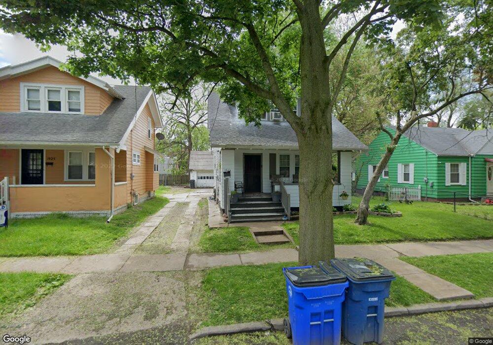
1929 Barrows St Toledo, OH 43613
DeVeaux NeighborhoodEstimated Value: $57,000 - $70,000
2
Beds
1
Bath
944
Sq Ft
$69/Sq Ft
Est. Value
About This Home
This home is located at 1929 Barrows St, Toledo, OH 43613 and is currently estimated at $65,241, approximately $69 per square foot. 1929 Barrows St is a home located in Lucas County with nearby schools including DeVeaux Elementary School, Start High School, and Horizon Science Academy - Toledo High School.
Ownership History
Date
Name
Owned For
Owner Type
Purchase Details
Closed on
Aug 11, 2020
Sold by
Wall Timothy R
Bought by
Gordon Felicia J and Williams Samuel M
Current Estimated Value
Purchase Details
Closed on
Sep 15, 2008
Sold by
Wall Deborah S
Bought by
Wall Timothy R
Purchase Details
Closed on
Jun 23, 2004
Sold by
Fannie Mae
Bought by
Wall Timothy R
Purchase Details
Closed on
Dec 14, 2003
Sold by
Day Sean M and Matrix Financial Services Corp
Bought by
Federal National Mortgage Association
Purchase Details
Closed on
May 29, 1997
Sold by
Obert David A
Bought by
Day Sean M and Day Charlotte E
Home Financials for this Owner
Home Financials are based on the most recent Mortgage that was taken out on this home.
Original Mortgage
$40,150
Interest Rate
2.5%
Mortgage Type
FHA
Create a Home Valuation Report for This Property
The Home Valuation Report is an in-depth analysis detailing your home's value as well as a comparison with similar homes in the area
Home Values in the Area
Average Home Value in this Area
Purchase History
| Date | Buyer | Sale Price | Title Company |
|---|---|---|---|
| Gordon Felicia J | $17,000 | None Available | |
| Wall Timothy R | -- | Attorney | |
| Wall Timothy R | $37,500 | Louisville Title Agency For | |
| Federal National Mortgage Association | $40,000 | -- | |
| Day Sean M | $39,000 | -- |
Source: Public Records
Mortgage History
| Date | Status | Borrower | Loan Amount |
|---|---|---|---|
| Previous Owner | Day Sean M | $40,150 |
Source: Public Records
Tax History
| Year | Tax Paid | Tax Assessment Tax Assessment Total Assessment is a certain percentage of the fair market value that is determined by local assessors to be the total taxable value of land and additions on the property. | Land | Improvement |
|---|---|---|---|---|
| 2025 | $3,725 | $16,275 | $5,040 | $11,235 |
| 2024 | $3,495 | $16,275 | $5,040 | $11,235 |
| 2023 | $603 | $7,525 | $4,760 | $2,765 |
| 2022 | $598 | $7,525 | $4,760 | $2,765 |
| 2021 | $604 | $7,525 | $4,760 | $2,765 |
| 2020 | $667 | $7,175 | $4,550 | $2,625 |
| 2019 | $650 | $7,175 | $4,550 | $2,625 |
| 2018 | $650 | $7,175 | $4,550 | $2,625 |
| 2017 | $911 | $10,500 | $4,550 | $5,950 |
| 2016 | $920 | $30,000 | $13,000 | $17,000 |
| 2015 | $914 | $30,000 | $13,000 | $17,000 |
| 2014 | $679 | $13,270 | $4,550 | $8,720 |
| 2013 | $858 | $13,270 | $4,550 | $8,720 |
Source: Public Records
Map
Nearby Homes
- 1939 Balkan Place
- 2012 Berdan Ave
- 3720 Kelly Ave
- 1953 Talbot St
- 2035 Barrows St
- 2020 Berkshire Place
- 1815 Berdan Ave
- 1818 Barrows St
- 1831 Talbot St
- 1829 Talbot St
- 3835 Matlack Ave
- 1750 Berdan Ave
- 1816 Loxley Rd
- 2002 Brame Place
- 1740 Berdan Ave
- 2041 Brame Place
- 1734 Barrows St
- 1730 Balkan Place
- 1725 Brussels St
- 3821 Jackman Rd
- 1925 Barrows St
- 1935 Barrows St
- 1921 Barrows St
- 1937 Barrows St
- 1919 Barrows St
- 1928 Berdan Ave
- 1939 Barrows St
- 1934 Berdan Ave
- 1936 Berdan Ave
- 1924 Berdan Ave
- 1915 Barrows St
- 1938 Berdan Ave
- 1922 Berdan Ave
- 1943 Barrows St
- 1942 Berdan Ave
- 1942 Berdan Ave Unit Upper
- 1913 Barrows St
- 1928 Barrows St
- 1930 Barrows St
- 1940 Berdan Ave
Your Personal Tour Guide
Ask me questions while you tour the home.