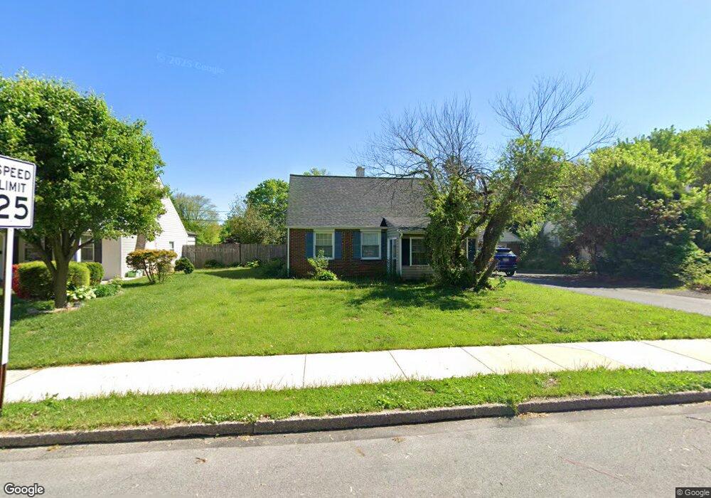
1929 Clearview Ave Norristown, PA 19403
West Norriton Township NeighborhoodEstimated Value: $335,000 - $362,000
3
Beds
1
Bath
1,250
Sq Ft
$276/Sq Ft
Est. Value
About This Home
This home is located at 1929 Clearview Ave, Norristown, PA 19403 and is currently estimated at $344,763, approximately $275 per square foot. 1929 Clearview Ave is a home located in Montgomery County with nearby schools including Charles Blockson Middle School, Paul V Fly Elementary School, and East Norriton Middle School.
Ownership History
Date
Name
Owned For
Owner Type
Purchase Details
Closed on
Oct 19, 2005
Sold by
Booth Mary Kay
Bought by
Smith Debra Robinson and Smith Lawrence
Current Estimated Value
Home Financials for this Owner
Home Financials are based on the most recent Mortgage that was taken out on this home.
Original Mortgage
$175,275
Outstanding Balance
$94,347
Interest Rate
5.85%
Estimated Equity
$250,416
Purchase Details
Closed on
Dec 17, 1997
Sold by
Fonash Catherine T
Bought by
Booth Mary Kay
Create a Home Valuation Report for This Property
The Home Valuation Report is an in-depth analysis detailing your home's value as well as a comparison with similar homes in the area
Home Values in the Area
Average Home Value in this Area
Purchase History
| Date | Buyer | Sale Price | Title Company |
|---|---|---|---|
| Smith Debra Robinson | $184,500 | -- | |
| Booth Mary Kay | $95,000 | -- |
Source: Public Records
Mortgage History
| Date | Status | Borrower | Loan Amount |
|---|---|---|---|
| Open | Smith Debra Robinson | $175,275 |
Source: Public Records
Tax History Compared to Growth
Tax History
| Year | Tax Paid | Tax Assessment Tax Assessment Total Assessment is a certain percentage of the fair market value that is determined by local assessors to be the total taxable value of land and additions on the property. | Land | Improvement |
|---|---|---|---|---|
| 2025 | $4,660 | $95,370 | $41,380 | $53,990 |
| 2024 | $4,660 | $95,370 | $41,380 | $53,990 |
| 2023 | $4,607 | $95,370 | $41,380 | $53,990 |
| 2022 | $4,577 | $95,370 | $41,380 | $53,990 |
| 2021 | $4,549 | $95,370 | $41,380 | $53,990 |
| 2020 | $4,413 | $95,370 | $41,380 | $53,990 |
| 2019 | $4,315 | $95,370 | $41,380 | $53,990 |
| 2018 | $3,274 | $95,370 | $41,380 | $53,990 |
| 2017 | $4,074 | $95,370 | $41,380 | $53,990 |
| 2016 | $4,037 | $95,370 | $41,380 | $53,990 |
| 2015 | $3,740 | $95,370 | $41,380 | $53,990 |
| 2014 | $3,740 | $95,370 | $41,380 | $53,990 |
Source: Public Records
Map
Nearby Homes
- 709 Middleton Place
- 1749 W Marshall St
- 166 Hoover Ave
- 214 Oxford Cir
- 1104 Arden Dr Unit METHACTON SCHOOL
- 145 Colonial Ave
- 2025 Sterigere St
- 1635 W Marshall W Marshall St
- 37 Burnside Ave
- 612 Glen Ln Unit 56A
- 1924 Juniata Rd
- 1506 W Marshall St
- 1448 W James St
- 89 Centre Ave
- 1633 Williams Way
- 0 Centre Unit 430 PAMC2099854
- 621 N Forrest
- 533 Brandon Rd
- 1219 Stonybrook Dr Unit 1219
- 1613 Countryside Ln
- 1933 Clearview Ave
- 1925 Clearview Ave
- 1937 Clearview Ave
- 1830 Spera Ln
- 1941 Clearview Ave
- 1930 Clearview Ave
- 1926 Clearview Ave
- 1934 Clearview Ave
- 1938 Clearview Ave
- 1945 Clearview Ave
- 1832 Spera Ln
- 58 Republic Ave
- 54 Republic Ave
- 62 Republic Ave
- 1942 Clearview Ave
- 39 Republic Ave
- 50 Republic Ave
- 1949 Clearview Ave
- 1946 Clearview Ave
- 46 Republic Ave