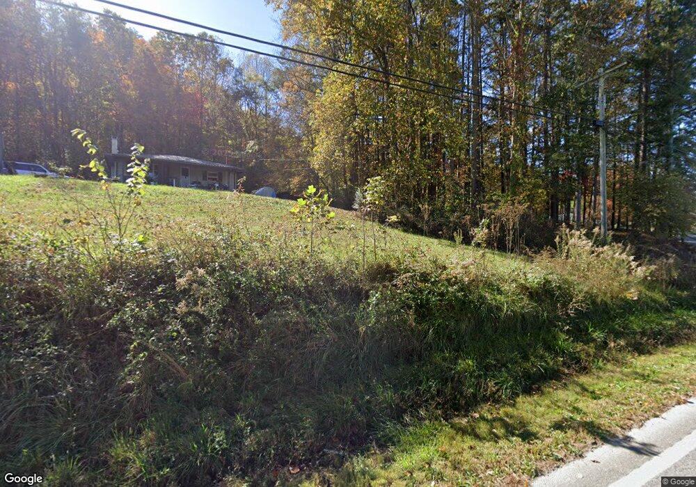
1929 Livingston Hwy Jamestown, TN 38556
Estimated Value: $337,482 - $453,000
--
Bed
2
Baths
2,132
Sq Ft
$188/Sq Ft
Est. Value
About This Home
This home is located at 1929 Livingston Hwy, Jamestown, TN 38556 and is currently estimated at $399,827, approximately $187 per square foot. 1929 Livingston Hwy is a home located in Fentress County.
Ownership History
Date
Name
Owned For
Owner Type
Purchase Details
Closed on
Sep 23, 2024
Sold by
Starks Lillian and Bailey Sandra
Bought by
Starks Lillian and Bailey Sandra
Current Estimated Value
Purchase Details
Closed on
Nov 22, 2022
Sold by
Starks Lillian
Bought by
Starks Lillian and Bailey Sandra
Purchase Details
Closed on
Apr 20, 2016
Sold by
Starks Lillian
Bought by
Starks Lillian and Bailey Sandra
Purchase Details
Closed on
Feb 1, 2012
Sold by
Starks Lillian
Bought by
Starks Lillian and Conatser Steven M
Create a Home Valuation Report for This Property
The Home Valuation Report is an in-depth analysis detailing your home's value as well as a comparison with similar homes in the area
Home Values in the Area
Average Home Value in this Area
Purchase History
| Date | Buyer | Sale Price | Title Company |
|---|---|---|---|
| Starks Lillian | -- | None Listed On Document | |
| Starks Lillian | -- | -- | |
| Starks Lillian | -- | None Listed On Document | |
| Starks Lillian | -- | -- | |
| Starks Lillian | $250 | -- | |
| Starks Lillian | $250 | -- |
Source: Public Records
Tax History Compared to Growth
Tax History
| Year | Tax Paid | Tax Assessment Tax Assessment Total Assessment is a certain percentage of the fair market value that is determined by local assessors to be the total taxable value of land and additions on the property. | Land | Improvement |
|---|---|---|---|---|
| 2025 | $625 | $51,700 | $0 | $0 |
| 2024 | $625 | $46,325 | $13,550 | $32,775 |
| 2023 | $625 | $46,325 | $13,550 | $32,775 |
| 2022 | $599 | $31,375 | $11,000 | $20,375 |
| 2021 | $599 | $31,375 | $11,000 | $20,375 |
| 2020 | $599 | $31,375 | $11,000 | $20,375 |
| 2019 | $599 | $31,375 | $11,000 | $20,375 |
| 2018 | $599 | $31,375 | $11,000 | $20,375 |
| 2017 | $574 | $28,950 | $10,075 | $18,875 |
| 2016 | $604 | $30,425 | $11,550 | $18,875 |
| 2015 | $490 | $24,704 | $0 | $0 |
| 2014 | $490 | $24,704 | $0 | $0 |
Source: Public Records
Map
Nearby Homes
- 343 Annabelle Way
- 105 Charity Ln
- 1271 Gouldstown Rd
- 0 Fairgrounds Rd Unit 1255783
- 2203 Meadowview Dr
- 1112 Whispering Pine Ln
- 00 W Central Ave
- 518 Flatt Spur Rd
- 598 Ted Brooks Rd
- 514 Flatt Spur Rd
- 514 Flatt Spur Rd Unit A & B
- 103 N Duncan St
- 501 Hill Rd
- 0 Iroquois Dr
- n/a Iroquois Dr
- 0 Apache Rd Unit RTC2992962
- 1132 Conatser Hollow Rd
- 1132 Conatser Hollow Rd
- 0 Lot 8 Top Side Rd Unit 1207578
- 1119 Conatser Hollow Rd
- 0 Topside Road Lot 23 Unit 1017403
- 0 Lot 1a Topside Rd Unit 1017347
- 0 Topside Road Lot 17 Unit 1017210
- Topside Topside Rd
- 0 Lot 4 Top Side Rd Unit 1207577
- 0 Top Side Dr Unit 1208965
- 178 Topside Rd
- 1109 Conatser Hollow Rd
- 0 Lot 21 Topside Rd Unit 1018036
- 0 Hwy 52 W Unit 182576
- 0 Hwy 52 W Unit 150435
- 0 Hwy 52 W Unit 150433
- 0 Hwy 52 W Unit 150434
- 0 Hwy 52 W Unit 150432
- 0 Hwy 52 W Unit 1017082
- 0 Lot 15 Topside Rd Unit 1017361