1929 S Flat Rock Rd Douglasville, GA 30134
Estimated Value: $410,000
3
Beds
2
Baths
2,296
Sq Ft
$179/Sq Ft
Est. Value
About This Home
This home is located at 1929 S Flat Rock Rd, Douglasville, GA 30134 and is currently priced at $410,000, approximately $178 per square foot. 1929 S Flat Rock Rd is a home located in Douglas County with nearby schools including North Douglas Elementary School, Stewart Middle School, and Douglas County High School.
Ownership History
Date
Name
Owned For
Owner Type
Purchase Details
Closed on
Dec 5, 2002
Sold by
Chandler Marsha J
Bought by
Chandler Dennis H and Chandler Marsha J
Current Estimated Value
Home Financials for this Owner
Home Financials are based on the most recent Mortgage that was taken out on this home.
Original Mortgage
$92,000
Interest Rate
5.95%
Mortgage Type
New Conventional
Create a Home Valuation Report for This Property
The Home Valuation Report is an in-depth analysis detailing your home's value as well as a comparison with similar homes in the area
Home Values in the Area
Average Home Value in this Area
Purchase History
| Date | Buyer | Sale Price | Title Company |
|---|---|---|---|
| Chandler Dennis H | -- | -- |
Source: Public Records
Mortgage History
| Date | Status | Borrower | Loan Amount |
|---|---|---|---|
| Previous Owner | Chandler Dennis H | $92,000 |
Source: Public Records
Tax History Compared to Growth
Tax History
| Year | Tax Paid | Tax Assessment Tax Assessment Total Assessment is a certain percentage of the fair market value that is determined by local assessors to be the total taxable value of land and additions on the property. | Land | Improvement |
|---|---|---|---|---|
| 2024 | $614 | $217,520 | $95,200 | $122,320 |
| 2023 | $614 | $217,520 | $95,200 | $122,320 |
| 2022 | $640 | $159,400 | $67,960 | $91,440 |
| 2021 | $526 | $144,960 | $67,960 | $77,000 |
| 2020 | $526 | $144,960 | $67,960 | $77,000 |
| 2019 | $432 | $141,880 | $67,960 | $73,920 |
| 2018 | $437 | $139,520 | $67,960 | $71,560 |
| 2017 | $478 | $138,480 | $75,520 | $62,960 |
| 2016 | $507 | $60,040 | $2,440 | $57,600 |
| 2015 | $594 | $128,440 | $72,480 | $55,960 |
| 2014 | $594 | $137,760 | $0 | $0 |
| 2013 | -- | $64,040 | $24,880 | $39,160 |
Source: Public Records
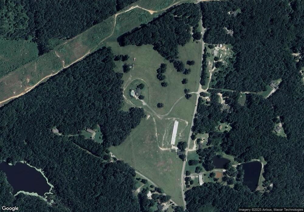
Map
Nearby Homes
- 1855 S Flat Rock Rd
- 6470 Cedar Mountain Rd
- 8523 Poston Place Lot 132
- 6189 Cedar Mountain Rd
- 8518 Polston Place Lot 131
- 7288 Emma
- 2203 S Flat Rock Rd
- 7254 Deering Ct Unit LOT 177
- 7254 Deering Ct
- 7252 Deering Ct
- 7252 Deering Ct Unit LOT 178
- 8465 Timberlane Dr
- River Birch Plan at Oakhurst Manor
- Sequoia Plan at Oakhurst Manor
- Biltmore Plan at Oakhurst Manor
- 7475 Sydnee Ct
- 7463 Kaley Ct
- 7242 Westwood Ln
- 7236 Cedar Forest Dr
- 8005 Big Rock Dr
- S S Flat Rock Rd
- 1993 S Flat Rock Rd
- 1964 S Flat Rock Rd
- 1942 S Flat Rock Rd
- 1982 S Flat Rock Rd
- 1946 S Flat Rock Rd
- 1976 S Flat Rock Rd
- 2031 Edwards Rd
- 2027 Edwards Rd
- 1892 S Flat Rock Rd
- 1875 S Flat Rock Rd
- 2002 S Flat Rock Rd
- 2023 Edwards Rd
- 0 Edwards Rd
- 0 Edwards Rd Unit 6906218
- 0 Edwards Rd Unit 9004761
- 0 Edwards Rd Unit 8183697
- 2057 Edwards Rd
- 2021 Edwards Rd
- 1880 S Flat Rock Rd