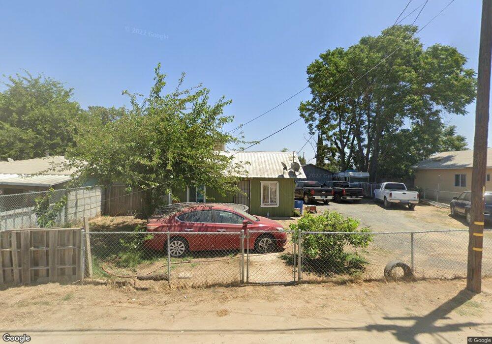
19297 Avenue 144 Unit G Porterville, CA 93257
Estimated Value: $120,000 - $216,000
3
Beds
1
Bath
816
Sq Ft
$229/Sq Ft
Est. Value
About This Home
This home is located at 19297 Avenue 144 Unit G, Porterville, CA 93257 and is currently estimated at $186,884, approximately $229 per square foot. 19297 Avenue 144 Unit G is a home located in Tulare County with nearby schools including Pleasant View Elementary School, Monache High School, and Strathmore High School.
Ownership History
Date
Name
Owned For
Owner Type
Purchase Details
Closed on
Jul 29, 2015
Sold by
Walker Jerry D
Bought by
Macias Mana R and Millan Felipe Jimenez
Current Estimated Value
Home Financials for this Owner
Home Financials are based on the most recent Mortgage that was taken out on this home.
Original Mortgage
$54,000
Outstanding Balance
$42,297
Interest Rate
3.91%
Mortgage Type
Seller Take Back
Estimated Equity
$144,587
Purchase Details
Closed on
Dec 12, 2000
Sold by
Lester Floyd Eugene
Bought by
Walker Frankie
Create a Home Valuation Report for This Property
The Home Valuation Report is an in-depth analysis detailing your home's value as well as a comparison with similar homes in the area
Home Values in the Area
Average Home Value in this Area
Purchase History
| Date | Buyer | Sale Price | Title Company |
|---|---|---|---|
| Macias Mana R | $59,000 | Chicago Title Company | |
| Walker Frankie | $25,000 | Fidelity National Title Co |
Source: Public Records
Mortgage History
| Date | Status | Borrower | Loan Amount |
|---|---|---|---|
| Open | Macias Mana R | $54,000 |
Source: Public Records
Tax History Compared to Growth
Tax History
| Year | Tax Paid | Tax Assessment Tax Assessment Total Assessment is a certain percentage of the fair market value that is determined by local assessors to be the total taxable value of land and additions on the property. | Land | Improvement |
|---|---|---|---|---|
| 2025 | $707 | $69,843 | $11,837 | $58,006 |
| 2024 | $707 | $68,474 | $11,605 | $56,869 |
| 2023 | $708 | $67,132 | $11,378 | $55,754 |
| 2022 | $679 | $65,816 | $11,155 | $54,661 |
| 2021 | $670 | $64,525 | $10,936 | $53,589 |
| 2020 | $660 | $63,864 | $10,824 | $53,040 |
| 2019 | $647 | $62,612 | $10,612 | $52,000 |
| 2018 | $634 | $61,384 | $10,404 | $50,980 |
| 2017 | $624 | $60,180 | $10,200 | $49,980 |
| 2016 | $322 | $31,823 | $8,911 | $22,912 |
| 2015 | $311 | $31,345 | $8,777 | $22,568 |
| 2014 | $311 | $30,731 | $8,605 | $22,126 |
Source: Public Records
Map
Nearby Homes
- 0 SW Road 192 Unit#19
- 0 SW Road 192 Unit #21 Unit 232747
- 0 SW Road 192 Unit# 20
- 14725 Walker Rd
- 13250 Road 184
- 13291 Road 184
- 17771 Avenue 152
- 18925 Avenue 168
- 249 S Westwood St
- 15247 Road 223
- 0 Avenue 168 Unit 237962
- 0 Avenue 168 Unit 235558
- 2280 W Glenn Ave
- 1448 S Westwood Rd
- 575 N Brandy Way
- 100 S Westwood St Unit 1
- 100 S Westwood St Unit 17
- 100 S Westwood St
- 100 S Westwood St Unit Lot 105
- 100 S Westwood St Unit 110
- 19297 Avenue 144 Unit 3-4
- 19297 Avenue 144 Unit 5-6
- 19297 Avenue 144 Unit 36
- 19297 Avenue 144
- 19272 Avenue 144 Unit D
- 19272 Ave 144 # D
- 19272 Avenue 144
- 19271 N Wilson Place
- 14298 Road 192
- 14288 Wilson St
- 314 S Cook St
- 14286 Wilson St
- 14310 Cook St
- 14320 Cook St
- 19325 Avenue 111
- 19255 Avenue 144
- 19323 Avenue 144
- 19251 Avenue 144
- 19265 Avenue 144
- 19337 Avenue 144