193 Holder Rd Huntsville, AL 35811
Ryland NeighborhoodEstimated Value: $228,000 - $327,000
4
Beds
2
Baths
2,400
Sq Ft
$114/Sq Ft
Est. Value
About This Home
This home is located at 193 Holder Rd, Huntsville, AL 35811 and is currently estimated at $274,751, approximately $114 per square foot. 193 Holder Rd is a home located in Madison County with nearby schools including Central School and Madison County High School.
Ownership History
Date
Name
Owned For
Owner Type
Purchase Details
Closed on
Nov 26, 2013
Sold by
Bailey Charles and Bailey Tammy
Bought by
Lamb Edwin and Lamb Danna
Current Estimated Value
Purchase Details
Closed on
Mar 19, 2009
Sold by
Federal Home Loan Mortgage Corporation
Bought by
Bailey Charles and Bailey Tammy
Home Financials for this Owner
Home Financials are based on the most recent Mortgage that was taken out on this home.
Original Mortgage
$44,500
Interest Rate
5.05%
Mortgage Type
Future Advance Clause Open End Mortgage
Purchase Details
Closed on
Oct 23, 2008
Sold by
Barnes Earlene M
Bought by
Wells Fargo Bank Na
Create a Home Valuation Report for This Property
The Home Valuation Report is an in-depth analysis detailing your home's value as well as a comparison with similar homes in the area
Home Values in the Area
Average Home Value in this Area
Purchase History
| Date | Buyer | Sale Price | Title Company |
|---|---|---|---|
| Lamb Edwin | $74,500 | None Available | |
| Bailey Charles | $45,000 | -- | |
| Wells Fargo Bank Na | $82,587 | -- |
Source: Public Records
Mortgage History
| Date | Status | Borrower | Loan Amount |
|---|---|---|---|
| Previous Owner | Bailey Charles | $44,500 |
Source: Public Records
Tax History Compared to Growth
Tax History
| Year | Tax Paid | Tax Assessment Tax Assessment Total Assessment is a certain percentage of the fair market value that is determined by local assessors to be the total taxable value of land and additions on the property. | Land | Improvement |
|---|---|---|---|---|
| 2024 | $300 | $8,400 | $3,760 | $4,640 |
| 2023 | $295 | $8,260 | $3,760 | $4,500 |
| 2022 | $225 | $6,340 | $2,180 | $4,160 |
| 2021 | $209 | $5,900 | $2,180 | $3,720 |
| 2020 | $199 | $5,640 | $2,180 | $3,460 |
| 2019 | $195 | $5,520 | $2,180 | $3,340 |
| 2018 | $181 | $5,120 | $0 | $0 |
| 2017 | $181 | $5,120 | $0 | $0 |
| 2016 | $181 | $5,120 | $0 | $0 |
| 2015 | $181 | $5,120 | $0 | $0 |
| 2014 | $66 | $1,960 | $0 | $0 |
Source: Public Records
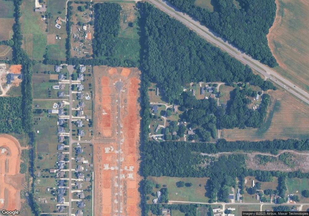
Map
Nearby Homes
- Ionia III H Plan at Cedar Gap Estates
- Rodessa IV H Plan at Cedar Gap Estates
- Rodessa IV G Plan at Cedar Gap Estates
- Comstock III G Plan at Cedar Gap Estates
- Comstock III H Plan at Cedar Gap Estates
- Taft IV G Plan at Cedar Gap Estates
- Taplin III G Plan at Cedar Gap Estates
- Crosby III H Plan at Cedar Gap Estates
- Crosby III S Plan at Cedar Gap Estates
- Ionia III G Plan at Cedar Gap Estates
- Johnson IV H Plan at Cedar Gap Estates
- 101 Dolf Leaf Ln
- 103 Dolf Leaf Ln
- 109 Dolf Leaf Ln
- 105 Dolf Leaf Ln
- 215 Teague Rd
- 403 Ryland Pike
- 2349 Dug Hill Rd
- 136 Petty Ln
- TBD Petty Ln
- 0 Holder Rd
- 154 Holder Rd
- 126 Saint Dr
- 112 Saint Dr
- 175 Rock Hill Cir
- 165 Rock Hill Cir
- 181 Rock Hill Cir
- 106 Holder Rd
- 189 Rock Hill Cir
- 133 Cedar Run Ln
- 131 Cedar Run Ln
- 135 Cedar Run Ln
- 158 Rock Hill Cir
- 174 Rock Hill Cir
- 137 Cedar Run Ln
- 101 Cedar Tree Dr
- 129 Cedar Run Ln
- 139 Cedar Run Ln
- 141 Cedar Run Ln
- 2984 Highway 72 E