193 Mathews Rd Unit B Youngstown, OH 44512
Estimated Value: $237,996 - $268,000
2
Beds
2
Baths
1,504
Sq Ft
$166/Sq Ft
Est. Value
About This Home
This home is located at 193 Mathews Rd Unit B, Youngstown, OH 44512 and is currently estimated at $249,999, approximately $166 per square foot. 193 Mathews Rd Unit B is a home located in Mahoning County with nearby schools including Robinwood Lane Elementary School, Boardman Glenwood Junior High School, and Boardman High School.
Ownership History
Date
Name
Owned For
Owner Type
Purchase Details
Closed on
May 14, 2010
Sold by
Pisano Joseph and Pisano Kathleen
Bought by
Petrallo Frank J and Petrallo Dellann
Current Estimated Value
Home Financials for this Owner
Home Financials are based on the most recent Mortgage that was taken out on this home.
Original Mortgage
$100,500
Outstanding Balance
$67,723
Interest Rate
5.16%
Mortgage Type
New Conventional
Estimated Equity
$182,276
Purchase Details
Closed on
May 23, 2002
Sold by
D Eramo Joseph W and D Eramo Ramona C
Bought by
Pisano Joseph and Pisano Kathleen
Create a Home Valuation Report for This Property
The Home Valuation Report is an in-depth analysis detailing your home's value as well as a comparison with similar homes in the area
Home Values in the Area
Average Home Value in this Area
Purchase History
| Date | Buyer | Sale Price | Title Company |
|---|---|---|---|
| Petrallo Frank J | $136,000 | Attorney | |
| Pisano Joseph | $130,000 | -- |
Source: Public Records
Mortgage History
| Date | Status | Borrower | Loan Amount |
|---|---|---|---|
| Open | Petrallo Frank J | $100,500 |
Source: Public Records
Tax History Compared to Growth
Tax History
| Year | Tax Paid | Tax Assessment Tax Assessment Total Assessment is a certain percentage of the fair market value that is determined by local assessors to be the total taxable value of land and additions on the property. | Land | Improvement |
|---|---|---|---|---|
| 2024 | $2,145 | $52,210 | $4,200 | $48,010 |
| 2023 | $2,148 | $52,210 | $4,200 | $48,010 |
| 2022 | $2,216 | $42,750 | $4,200 | $38,550 |
| 2021 | $2,217 | $42,750 | $4,200 | $38,550 |
| 2020 | $2,229 | $42,750 | $4,200 | $38,550 |
| 2019 | $2,481 | $42,750 | $4,200 | $38,550 |
| 2018 | $2,156 | $42,750 | $4,200 | $38,550 |
| 2017 | $2,153 | $42,750 | $4,200 | $38,550 |
| 2016 | $2,121 | $41,930 | $5,250 | $36,680 |
| 2015 | $2,079 | $41,930 | $5,250 | $36,680 |
| 2014 | $2,085 | $41,930 | $5,250 | $36,680 |
| 2013 | $2,058 | $41,930 | $5,250 | $36,680 |
Source: Public Records
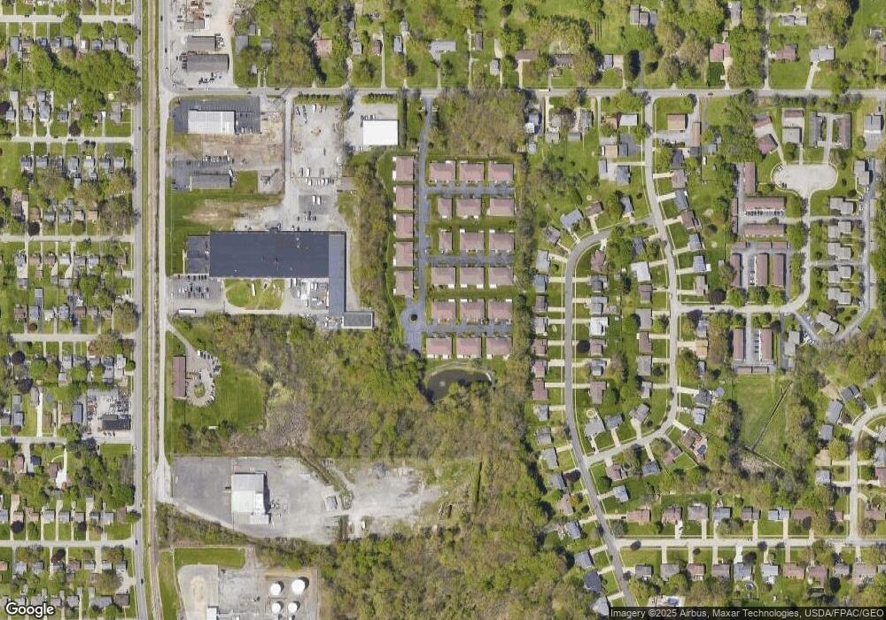
Map
Nearby Homes
- 197 Mathews Rd Unit B
- 6001 Applecrest Dr
- 178 Mathews Rd
- 0 Mathews Rd Unit 5038026
- 88 Arlene Ave
- 642 Oakridge Dr
- 167 Afton Ave
- 5522 Southern Blvd
- 44 Gertrude Ave
- 6785 Tanglewood Dr
- 707 Oakridge Dr
- 268 Erskine Ave
- 424 Mathews Rd
- 323 Melrose Ave
- 796 Edenridge Dr
- 772 Teakwood Dr
- 792 Forest Ridge Dr
- 26 Marlindale Ave
- 103 Wildwood Dr
- 6229 Appleridge Dr
- 193 Mathews Rd Unit A
- 195 Mathews Rd Unit B
- 195 Mathews Rd Unit A
- 191 Mathews Rd Unit B
- 191 Mathews Rd Unit A
- 203 Mathews Rd Unit B
- 203 Mathews Rd Unit A
- 201 Mathews Rd Unit B
- 201 Mathews Rd Unit A
- 189 Mathews Rd Unit B
- 189 Mathews Rd Unit A
- 167 Mathews Rd Unit B
- 167 Mathews Rd Unit A
- 197 Mathews Rd Unit A
- 1345 Fox
- 1339 Fox
- 1332 Fox Unit C
- 199 Mathews Rd Unit B
- 199 Mathews Rd Unit A
- 181 Mathews Rd Unit A