193 Middlesex Ave Thorofare, NJ 08086
Estimated Value: $336,526 - $403,000
Studio
--
Bath
1,920
Sq Ft
$191/Sq Ft
Est. Value
About This Home
This home is located at 193 Middlesex Ave, Thorofare, NJ 08086 and is currently estimated at $367,132, approximately $191 per square foot. 193 Middlesex Ave is a home located in Gloucester County with nearby schools including Red Bank Elementary School, Oakview Elementary School, and Green-Fields Elementary School.
Ownership History
Date
Name
Owned For
Owner Type
Purchase Details
Closed on
Oct 16, 2001
Sold by
Krause James S and Krause Nancy S
Bought by
Holmes Donald L
Current Estimated Value
Home Financials for this Owner
Home Financials are based on the most recent Mortgage that was taken out on this home.
Original Mortgage
$820
Outstanding Balance
$318
Interest Rate
6.77%
Mortgage Type
VA
Estimated Equity
$366,814
Create a Home Valuation Report for This Property
The Home Valuation Report is an in-depth analysis detailing your home's value as well as a comparison with similar homes in the area
Home Values in the Area
Average Home Value in this Area
Purchase History
| Date | Buyer | Sale Price | Title Company |
|---|---|---|---|
| Holmes Donald L | $121,000 | -- |
Source: Public Records
Mortgage History
| Date | Status | Borrower | Loan Amount |
|---|---|---|---|
| Open | Holmes Donald L | $820 |
Source: Public Records
Tax History
| Year | Tax Paid | Tax Assessment Tax Assessment Total Assessment is a certain percentage of the fair market value that is determined by local assessors to be the total taxable value of land and additions on the property. | Land | Improvement |
|---|---|---|---|---|
| 2025 | $6,687 | $191,500 | $55,600 | $135,900 |
| 2024 | $6,601 | $191,500 | $55,600 | $135,900 |
Source: Public Records
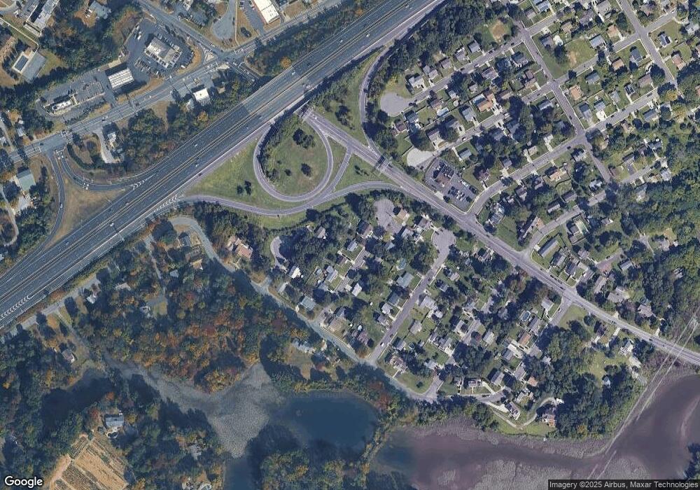
Map
Nearby Homes
- 170 Frederic Ct
- 439 Crown Point Rd
- 433 Crown Point Rd
- 126 Brent Ct
- 175 Queen St
- 113 Brent Ct
- 47 Pelican Place Unit 47
- 178 Essex Ave
- 138 Blue Heron Dr
- 558 Prince St
- 511 Queen St
- 414 W Centre St
- 21 S Columbia St
- 453 Prince St
- 1102 Barnesdale Rd
- 83 Lynn Dr
- 2 Victorian Way
- 3 Victorian Way
- 7 Victorian Way
- 1218 Royal Ln
- 191 Middlesex Ave
- 195 Middlesex Ave
- 192 Monmouth Ave
- 192 Monmouth Ave
- 194 Middlesex Ave
- 189 Middlesex Ave
- 196 Middlesex Ave
- 198 Middlesex Ave
- 187 Middlesex Ave
- 198 Middlesex Ave
- 188 Monmouth Ave
- 193 Roosevelt Blvd
- 190 Middlesex Ave
- 191 Roosevelt Blvd
- 195 Roosevelt Ct
- 195 Roosevelt Blvd
- 189 Roosevelt Blvd
- 197 Roosevelt Ct
- 197 Roosevelt Blvd
- 188 Middlesex Ave
Your Personal Tour Guide
Ask me questions while you tour the home.