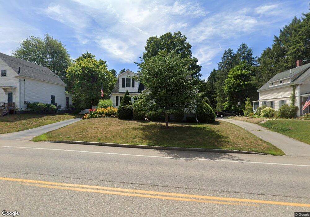
193 S Main St Rochester, NH 03867
Estimated Value: $385,000 - $502,000
3
Beds
2
Baths
1,712
Sq Ft
$251/Sq Ft
Est. Value
About This Home
This home is located at 193 S Main St, Rochester, NH 03867 and is currently estimated at $430,303, approximately $251 per square foot. 193 S Main St is a home located in Strafford County with nearby schools including William Allen School, Rochester Middle School, and Spaulding High School.
Ownership History
Date
Name
Owned For
Owner Type
Purchase Details
Closed on
Aug 22, 2019
Sold by
Malone David N and Malone Gail F
Bought by
David N & G F Malone Ret
Current Estimated Value
Purchase Details
Closed on
Oct 7, 1981
Bought by
Malone David N and Malone Gail F
Create a Home Valuation Report for This Property
The Home Valuation Report is an in-depth analysis detailing your home's value as well as a comparison with similar homes in the area
Home Values in the Area
Average Home Value in this Area
Purchase History
| Date | Buyer | Sale Price | Title Company |
|---|---|---|---|
| David N & G F Malone Ret | -- | -- | |
| Malone David N | $45,000 | -- |
Source: Public Records
Mortgage History
| Date | Status | Borrower | Loan Amount |
|---|---|---|---|
| Previous Owner | Malone David N | $30,000 |
Source: Public Records
Tax History Compared to Growth
Tax History
| Year | Tax Paid | Tax Assessment Tax Assessment Total Assessment is a certain percentage of the fair market value that is determined by local assessors to be the total taxable value of land and additions on the property. | Land | Improvement |
|---|---|---|---|---|
| 2024 | $5,203 | $350,400 | $102,200 | $248,200 |
| 2023 | $5,467 | $212,400 | $55,000 | $157,400 |
| 2022 | $5,369 | $212,400 | $55,000 | $157,400 |
| 2021 | $5,236 | $212,400 | $55,000 | $157,400 |
| 2020 | $5,242 | $213,000 | $55,000 | $158,000 |
| 2019 | $5,304 | $213,000 | $55,000 | $158,000 |
| 2018 | $4,663 | $181,500 | $41,200 | $140,300 |
| 2017 | $4,529 | $181,500 | $41,200 | $140,300 |
| 2016 | $4,434 | $156,900 | $41,200 | $115,700 |
| 2015 | $4,417 | $156,900 | $41,200 | $115,700 |
| 2014 | $4,285 | $156,000 | $41,200 | $114,800 |
| 2013 | $4,779 | $181,300 | $55,000 | $126,300 |
| 2012 | $4,656 | $181,300 | $55,000 | $126,300 |
Source: Public Records
Map
Nearby Homes
- 3 Dodge St
- 15 Linden St
- 1 Farrington St
- 38 Western Ave
- 17 Winter St
- 67 Winter St
- 7 Mcintire Ct
- 32 Adams Ave
- 18 Brookfield Dr
- 0 Franklin St Unit 55 4959653
- 56 Chamberlain St
- 45 Hanson St
- 47 Hanson St
- 10 Sarah Ct
- 35 Franklin Heights
- 57 Congress St
- 22 Corson St
- 161 Lowell St
- 86 Wakefield St
- 142 Brock St
- 191 S Main St
- 197 S Main St
- 194 S Main St
- 190 S Main St
- 192 S Main St
- 188 S Main St
- 199 S Main St
- 189 S Main St Unit 4
- 189 S Main St Unit 6
- 189 S Main St
- 196 S Main St
- 5 Richardson St
- 7 Richardson St
- 7 Dustin Terrace
- 184 S Main St
- 11 Richardson St
- 3 Dustin Terrace
- 204 So Main
- 204 S Main St
- 203 S Main St