193 Segars Rd Commerce, GA 30530
Estimated Value: $330,000
4
Beds
1
Bath
56,287
Sq Ft
$6/Sq Ft
Est. Value
About This Home
This home is located at 193 Segars Rd, Commerce, GA 30530 and is currently priced at $330,000, approximately $5 per square foot. 193 Segars Rd is a home located in Banks County with nearby schools including Banks County Primary School, Banks County Elementary School, and Banks County Middle School.
Ownership History
Date
Name
Owned For
Owner Type
Purchase Details
Closed on
Nov 1, 2020
Sold by
Mar Jac Poultry Inc
Bought by
Development Authority Of Banks County
Current Estimated Value
Purchase Details
Closed on
Apr 13, 2020
Sold by
Martin Bridge Properties Llc
Bought by
Mar Jac Poultry Inc
Purchase Details
Closed on
Dec 26, 2019
Sold by
Segars Nelson P
Bought by
Martin Bridge Properties Llc
Purchase Details
Closed on
Dec 21, 2012
Sold by
Segars Nelson P
Bought by
Segars Nelson P and Segars Andy
Create a Home Valuation Report for This Property
The Home Valuation Report is an in-depth analysis detailing your home's value as well as a comparison with similar homes in the area
Purchase History
| Date | Buyer | Sale Price | Title Company |
|---|---|---|---|
| Development Authority Of Banks County | -- | -- | |
| Mar Jac Poultry Inc | $2,678,910 | -- | |
| Martin Bridge Properties Llc | $1,134,965 | -- | |
| Segars Nelson P | -- | -- |
Source: Public Records
Tax History
| Year | Tax Paid | Tax Assessment Tax Assessment Total Assessment is a certain percentage of the fair market value that is determined by local assessors to be the total taxable value of land and additions on the property. | Land | Improvement |
|---|---|---|---|---|
| 2025 | -- | $2,068,423 | $87,060 | $1,981,363 |
| 2024 | -- | $2,899,600 | $121,884 | $2,777,716 |
| 2023 | $0 | $5,198,022 | $215,909 | $4,982,113 |
| 2022 | $0 | $6,392,718 | $348,240 | $6,044,478 |
| 2021 | $76,061 | $3,404,411 | $142,692 | $3,261,719 |
| 2020 | $8,430 | $367,656 | $332,120 | $35,536 |
| 2019 | $2,293 | $171,079 | $102,169 | $68,910 |
| 2018 | $2,159 | $164,290 | $102,169 | $62,121 |
| 2017 | $2,181 | $149,947 | $88,843 | $61,104 |
| 2016 | $2,229 | $149,947 | $88,843 | $61,104 |
| 2015 | $2,204 | $69,923 | $8,820 | $61,104 |
| 2014 | $2,204 | $75,716 | $14,612 | $61,104 |
| 2013 | -- | $239,592 | $171,848 | $67,744 |
Source: Public Records
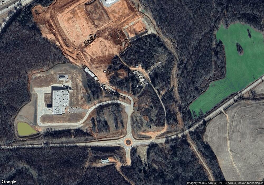
Map
Nearby Homes
- 823 Highway 63
- 333 Sims Bridge Rd
- 2015 Highway 59
- 433 Neal Rd
- 193 Wrights Mill Ln
- 0 Freedom Ln Unit 9B
- 0 Freedom Ln Unit 18C 10380663
- 0 Freedom Ln Unit 9D
- 0 Freedom Ln Unit 9C
- 0 Freedom Ln Unit 18B 10379747
- 0 Freedom Ln Unit 9E
- 731 Borders Rd
- 161 Meadow Lake Dr
- 1183 Wilson Bridge Rd
- 129 Meadow Brook Ln
- 224 Hebron Rd
- 166 Freedom Ln
- 2090 Southern Seed Way
- 0 Bennett Rd Unit 23200799
- 119 Gordon Rd
- 2928 Highway 59
- 299 Hudson River Dr
- 298 Hudson River Dr
- 3189 Highway 59
- 273 Hudson River Dr
- 270 Hudson River Dr
- 0 Highway 59 Unit 8305868
- 0 Highway 59 Unit 10501216
- 0 Highway 59 Unit 10257605
- 0 Highway 59 Unit 10257590
- 0 Highway 59 Unit 7015865
- 0 Georgia 63
- 000 Georgia 63
- 0000 Georgia 63
- 258 Hudson River Dr
- 247 Hudson River Dr
- 3131 Ga Hwy 59
- 232 Hudson River Dr
- 221 Hudson River Dr
- 204 Hudson River Dr
Your Personal Tour Guide
Ask me questions while you tour the home.