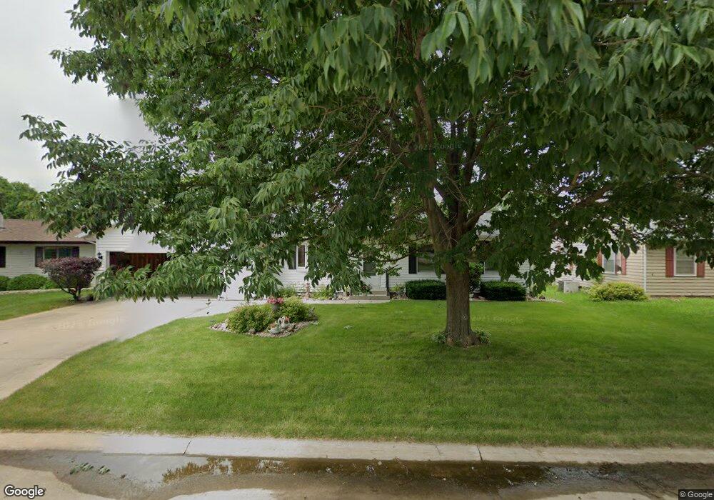
1930 17th Ave Marion, IA 52302
Estimated Value: $206,000 - $236,000
3
Beds
2
Baths
1,266
Sq Ft
$176/Sq Ft
Est. Value
About This Home
This home is located at 1930 17th Ave, Marion, IA 52302 and is currently estimated at $222,286, approximately $175 per square foot. 1930 17th Ave is a home located in Linn County with nearby schools including Wilkins Elementary School, Excelsior Middle School, and Linn-Mar High School.
Ownership History
Date
Name
Owned For
Owner Type
Purchase Details
Closed on
Aug 6, 2021
Sold by
Abodeely Joyce E
Bought by
Ochoa Jesse and Ochoa Jewel
Current Estimated Value
Home Financials for this Owner
Home Financials are based on the most recent Mortgage that was taken out on this home.
Original Mortgage
$175,750
Outstanding Balance
$160,049
Interest Rate
3%
Mortgage Type
New Conventional
Estimated Equity
$62,237
Create a Home Valuation Report for This Property
The Home Valuation Report is an in-depth analysis detailing your home's value as well as a comparison with similar homes in the area
Home Values in the Area
Average Home Value in this Area
Purchase History
| Date | Buyer | Sale Price | Title Company |
|---|---|---|---|
| Ochoa Jesse | $185,000 | None Available |
Source: Public Records
Mortgage History
| Date | Status | Borrower | Loan Amount |
|---|---|---|---|
| Open | Ochoa Jesse | $175,750 |
Source: Public Records
Tax History Compared to Growth
Tax History
| Year | Tax Paid | Tax Assessment Tax Assessment Total Assessment is a certain percentage of the fair market value that is determined by local assessors to be the total taxable value of land and additions on the property. | Land | Improvement |
|---|---|---|---|---|
| 2025 | $3,966 | $227,500 | $24,000 | $203,500 |
| 2024 | $3,886 | $210,900 | $24,000 | $186,900 |
| 2023 | $3,886 | $210,900 | $24,000 | $186,900 |
| 2022 | $3,442 | $175,100 | $24,000 | $151,100 |
| 2021 | $3,372 | $175,100 | $24,000 | $151,100 |
| 2020 | $3,372 | $161,500 | $24,000 | $137,500 |
| 2019 | $3,096 | $149,000 | $24,000 | $125,000 |
| 2018 | $2,970 | $149,000 | $24,000 | $125,000 |
| 2017 | $2,830 | $139,200 | $24,000 | $115,200 |
| 2016 | $2,932 | $139,200 | $24,000 | $115,200 |
| 2015 | $2,921 | $139,200 | $24,000 | $115,200 |
| 2014 | $2,734 | $139,200 | $24,000 | $115,200 |
| 2013 | $2,606 | $139,200 | $24,000 | $115,200 |
Source: Public Records
Map
Nearby Homes
- 1960 17th Ave
- 1890 17th Ave
- 1915 Brockman Ave
- 1990 17th Ave
- 1945 Brockman Ave
- 1875 Brockman Ave
- 1925 17th Ave
- 1780 Maplecrest Dr
- 1680 Maplecrest Dr
- 1690 Douglas Ct
- 1835 Brockman Ave
- 1615 Douglas Ct
- 1660 Douglas Ct
- 2000 17th Ave
- 1600 Maplecrest Dr
- 1775 Maplecrest Dr
- 1805 Brockman Ave
- 1920 Brockman Ave
- 1950 Brockman Ave
- 1880 Brockman Ave