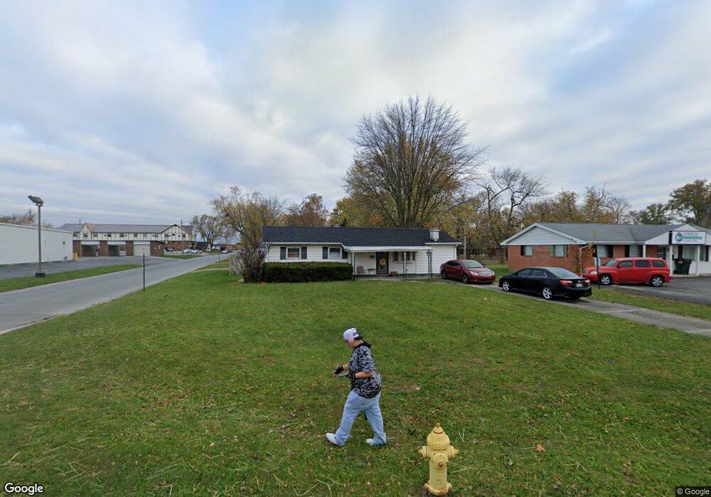
1930 Allentown Rd Lima, OH 45805
Westgate NeighborhoodEstimated Value: $157,000 - $162,000
3
Beds
1
Bath
1,176
Sq Ft
$135/Sq Ft
Est. Value
About This Home
This home is located at 1930 Allentown Rd, Lima, OH 45805 and is currently estimated at $158,327, approximately $134 per square foot. 1930 Allentown Rd is a home located in Allen County with nearby schools including Heritage Elementary School, Lima West Middle School, and Lima North Middle School.
Ownership History
Date
Name
Owned For
Owner Type
Purchase Details
Closed on
Aug 22, 2023
Sold by
Jackson Tina Marie and Jackson Shawn E
Bought by
Jackson Shawn E and Jackson Tina Marie
Current Estimated Value
Purchase Details
Closed on
Feb 28, 2023
Sold by
Ehora Nicholas J and Ehora Peggy A
Bought by
Jackson Tina Marie
Purchase Details
Closed on
Jan 1, 1990
Bought by
Ehora Nicholas J
Create a Home Valuation Report for This Property
The Home Valuation Report is an in-depth analysis detailing your home's value as well as a comparison with similar homes in the area
Home Values in the Area
Average Home Value in this Area
Purchase History
| Date | Buyer | Sale Price | Title Company |
|---|---|---|---|
| Jackson Shawn E | -- | None Listed On Document | |
| Jackson Tina Marie | -- | None Listed On Document | |
| Ehora Nicholas J | -- | -- |
Source: Public Records
Tax History Compared to Growth
Tax History
| Year | Tax Paid | Tax Assessment Tax Assessment Total Assessment is a certain percentage of the fair market value that is determined by local assessors to be the total taxable value of land and additions on the property. | Land | Improvement |
|---|---|---|---|---|
| 2024 | $1,270 | $34,130 | $8,160 | $25,970 |
| 2023 | $1,072 | $24,750 | $5,920 | $18,830 |
| 2022 | $1,847 | $24,750 | $5,920 | $18,830 |
| 2021 | $746 | $24,750 | $5,920 | $18,830 |
| 2020 | $648 | $20,900 | $5,670 | $15,230 |
| 2019 | $648 | $20,900 | $5,670 | $15,230 |
| 2018 | $624 | $20,900 | $5,670 | $15,230 |
| 2017 | $615 | $20,160 | $5,670 | $14,490 |
| 2016 | $618 | $20,160 | $5,670 | $14,490 |
| 2015 | $613 | $20,160 | $5,670 | $14,490 |
| 2014 | $613 | $19,990 | $6,020 | $13,970 |
| 2013 | $597 | $19,990 | $6,020 | $13,970 |
Source: Public Records
Map
Nearby Homes
- 514 N Cable Rd
- 1753 Leland Ave
- 2100 University Blvd
- 858 Mackenzie Dr
- 1719 Latham Ave
- 918 Cornell Dr
- 209 N Dale Dr
- 391 N Fernwood Dr
- 2050 W Market St
- 621 Fairfield Dr
- 102 Charwood Dr
- 109 N Pears Ave
- 1113 Crestwood Dr
- 1912 Hillcrest Dr
- 1630 W Market St
- 1517 Allentown Rd
- 234 S Westwood Dr
- 37 Beaumont Place
- 1459 W Market St
- 120 S Woodlawn Ave