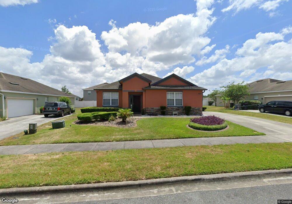
1930 Beardsley Dr Apopka, FL 32703
Apopka AreaEstimated Value: $360,000 - $414,000
About This Home
This home is located at 1930 Beardsley Dr, Apopka, FL 32703 and is currently estimated at $394,788, approximately $197 per square foot. 1930 Beardsley Dr is a home located in Orange County with nearby schools including Apopka Elementary School, Wolf Lake Middle School, and Apopka High School.
Ownership History
We collect this data history from publicly available records. To have your information removed, we recommend requesting removal directly through your county’s website.
Purchase Details
Home Financials for this Owner
Home Financials are based on the most recent Mortgage that was taken out on this home.Purchase Details
Purchase Details
Home Financials for this Owner
Home Financials are based on the most recent Mortgage that was taken out on this home.Home Values in the Area
Average Home Value in this Area
Purchase History
We collect this data history from publicly available records. To have your information removed, we recommend requesting removal directly through your county’s website.
| Date | Buyer | Sale Price | Title Company |
|---|---|---|---|
| $397,000 | Brokers Title | ||
| -- | None Available | ||
| $253,000 | North American Title Company |
Mortgage History
We collect this data history from publicly available records. To have your information removed, we recommend requesting removal directly through your county’s website.
| Date | Status | Borrower | Loan Amount |
|---|---|---|---|
| Open | $389,809 | ||
| Previous Owner | $230,149 | ||
| Previous Owner | $249,030 |
Tax History
We collect this data history from publicly available records. To have your information removed, we recommend requesting removal directly through your county’s website.
| Year | Tax Paid | Tax Assessment Tax Assessment Total Assessment is a certain percentage of the fair market value that is determined by local assessors to be the total taxable value of land and additions on the property. | Land | Improvement |
|---|---|---|---|---|
| 2026 | $4,983 | $344,940 | $75,000 | $269,940 |
| 2025 | $4,983 | $349,230 | $75,000 | $274,230 |
| 2024 | $2,960 | $336,250 | $75,000 | $261,250 |
| 2023 | $2,960 | $225,629 | $0 | $0 |
| 2022 | $2,833 | $219,057 | $0 | $0 |
| 2021 | $2,789 | $212,677 | $0 | $0 |
| 2020 | $2,670 | $209,741 | $0 | $0 |
| 2019 | $2,714 | $205,025 | $40,000 | $165,025 |
| 2018 | $1,634 | $136,993 | $0 | $0 |
| 2017 | $1,587 | $196,351 | $40,000 | $156,351 |
| 2016 | $1,580 | $176,569 | $25,000 | $151,569 |
| 2015 | $1,568 | $165,244 | $25,000 | $140,244 |
| 2014 | $1,579 | $146,885 | $25,000 | $121,885 |
Map
- 1942 Beardsley Dr
- 1885 Scrub Jay Rd
- 1692 Scrub Jay Rd
- 1188 Waterview Ridge Cir
- 1218 Hillcrest View Loop
- 1224 Waterview Ridge Cir
- 1151 Lakeside Estates Dr
- 817 Lake Doe Blvd
- 566 Lake Doe Blvd
- 891 Cavan Dr
- 558 Emerald Grove Dr
- 1296 Waterview Ridge Cir
- 1772 Stonecliff Dr
- 1484 Stonecliff Dr
- 1460 Stonecliff Dr
- 1383 Waterview Ridge Cir
- 1448 Stonecliff Dr
- 1595 Stoneclifff Dr
- 185 Winding Cove Ave
- 1605 Stonecliff Dr
- 1924 Beardsley Dr
- 1936 Beardsley Dr
- 1964 Scrub Jay Rd
- 1943 Beardsley Dr
- 1970 Scrub Jay Rd
- 1918 Beardsley Dr
- 1976 Scrub Jay Rd
- 1931 Beardsley Dr
- 1937 Beardsley Dr
- 1925 Beardsley Dr
- 1948 Beardsley Dr
- 1919 Beardsley Dr
- 1982 Scrub Jay Rd
- 1963 Scrub Jay Rd
- 1969 Scrub Jay Rd
- 1945 Scrub Jay Rd
- 1957 Scrub Jay Rd
- 1975 Scrub Jay Rd
- 1949 Beardsley Dr
- 1879 Scrub Jay Rd
Ask me questions while you tour the home.