1930 Debra Sue Ct Eugene, Or, OR 97404
River Road NeighborhoodEstimated Value: $405,908 - $452,000
3
Beds
2
Baths
1,300
Sq Ft
$330/Sq Ft
Est. Value
About This Home
This home is located at 1930 Debra Sue Ct, Eugene, Or, OR 97404 and is currently estimated at $428,477, approximately $329 per square foot. 1930 Debra Sue Ct is a home located in Lane County with nearby schools including Irving Elementary School, Shasta Middle School, and Willamette High School.
Ownership History
Date
Name
Owned For
Owner Type
Purchase Details
Closed on
Mar 10, 2016
Sold by
Anderson Brent H
Bought by
Ellis Kimberly C and Ellis Aaron C
Current Estimated Value
Home Financials for this Owner
Home Financials are based on the most recent Mortgage that was taken out on this home.
Original Mortgage
$228,000
Outstanding Balance
$180,318
Interest Rate
3.79%
Mortgage Type
New Conventional
Estimated Equity
$248,159
Purchase Details
Closed on
Dec 19, 2014
Sold by
524 Bushnell Llc
Bought by
Anderson Brent H
Home Financials for this Owner
Home Financials are based on the most recent Mortgage that was taken out on this home.
Original Mortgage
$200,000
Interest Rate
3.96%
Mortgage Type
Purchase Money Mortgage
Create a Home Valuation Report for This Property
The Home Valuation Report is an in-depth analysis detailing your home's value as well as a comparison with similar homes in the area
Home Values in the Area
Average Home Value in this Area
Purchase History
| Date | Buyer | Sale Price | Title Company |
|---|---|---|---|
| Ellis Kimberly C | $240,000 | Western Title & Escrow Co | |
| Anderson Brent H | $55,000 | Western Title & Escrow Co |
Source: Public Records
Mortgage History
| Date | Status | Borrower | Loan Amount |
|---|---|---|---|
| Open | Ellis Kimberly C | $228,000 | |
| Previous Owner | Anderson Brent H | $200,000 |
Source: Public Records
Tax History Compared to Growth
Tax History
| Year | Tax Paid | Tax Assessment Tax Assessment Total Assessment is a certain percentage of the fair market value that is determined by local assessors to be the total taxable value of land and additions on the property. | Land | Improvement |
|---|---|---|---|---|
| 2025 | $3,972 | $228,367 | -- | -- |
| 2024 | $3,872 | $221,716 | -- | -- |
| 2023 | $3,872 | $215,259 | $0 | $0 |
| 2022 | $3,604 | $208,990 | $0 | $0 |
| 2021 | $3,528 | $202,903 | $0 | $0 |
| 2020 | $3,426 | $196,994 | $0 | $0 |
| 2019 | $3,257 | $191,257 | $0 | $0 |
| 2018 | $3,166 | $180,279 | $0 | $0 |
| 2017 | $3,026 | $180,279 | $0 | $0 |
| 2016 | $2,949 | $175,028 | $0 | $0 |
| 2015 | $626 | $36,808 | $0 | $0 |
| 2014 | $158 | $9,168 | $0 | $0 |
Source: Public Records
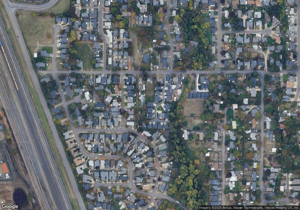
Map
Nearby Homes
- 1310 David Ave
- 1306 David Ave
- 507 Littlewood Ln
- 2110 Labona Dr
- 1621 Skipper Ave
- 1765 Labona Dr
- 1063 Boyce St
- 2429 Northampton Unit 25
- 2451 Bowtie Ave
- 2488 Northampton
- 725 Greg Way
- 2484 Crowther Dr
- 871 Corvette Ln
- 0 Pacific Hwy W
- 2563 York St
- 3893 N Clarey St
- 2698 Crowther Dr
- 1745 Grove St
- 2580 Crowther Dr
- 3888 Century Dr
- 1924 Debra Sue Ct
- 1950 Debra Sue Ct
- 1920 Debra Sue Ct
- 1925 Debra Sue Ct
- 1958 Debra Sue Ct
- 524 Bushnell Ln
- 550 Bushnell Ln
- 1943 Debra Sue Ct
- 1955 Debra Sue Ct
- 1983 Anthony Way
- 1961 Debra Sue Ct
- 2017 Anthony Way
- 1905 Debra Sue Ct
- 560 Bushnell Ln
- 1914 Debra Sue Ct
- 1959 Anthony Way
- 1910 Debra Sue Ct
- 2033 Anthony Way
- 1975 Debra Sue Ct
- 1937 Anthony Way