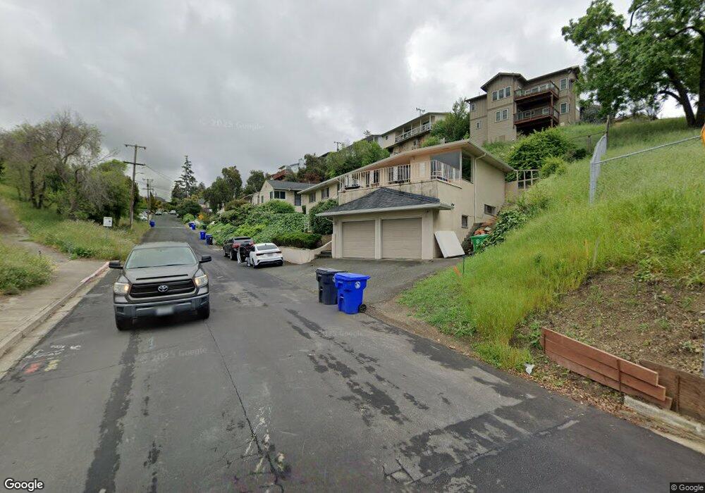
1930 Howe Dr San Leandro, CA 94578
Bay-O-Vista NeighborhoodEstimated Value: $802,000 - $1,079,324
4
Beds
4
Baths
1,922
Sq Ft
$497/Sq Ft
Est. Value
About This Home
This home is located at 1930 Howe Dr, San Leandro, CA 94578 and is currently estimated at $954,831, approximately $496 per square foot. 1930 Howe Dr is a home located in Alameda County with nearby schools including Jefferson Elementary School, Bancroft Middle School, and San Leandro High School.
Ownership History
Date
Name
Owned For
Owner Type
Purchase Details
Closed on
Dec 22, 2017
Sold by
Boyd Jacquelyn and Mathews Jennifer
Bought by
Feroz Nahida
Current Estimated Value
Home Financials for this Owner
Home Financials are based on the most recent Mortgage that was taken out on this home.
Original Mortgage
$490,000
Outstanding Balance
$412,644
Interest Rate
3.95%
Mortgage Type
Purchase Money Mortgage
Estimated Equity
$542,187
Purchase Details
Closed on
Dec 21, 2017
Sold by
Ayubi Wais
Bought by
Feroz Nahida
Home Financials for this Owner
Home Financials are based on the most recent Mortgage that was taken out on this home.
Original Mortgage
$490,000
Outstanding Balance
$412,644
Interest Rate
3.95%
Mortgage Type
Purchase Money Mortgage
Estimated Equity
$542,187
Purchase Details
Closed on
Feb 3, 2016
Sold by
Wood Patricia M and Wood Family Trust
Bought by
Boyd Jacqueline and Matthews Jennifer
Purchase Details
Closed on
Sep 1, 1994
Sold by
Wood Jack B and Wood Celia M
Bought by
Wood Jack B and Wood Celia M
Create a Home Valuation Report for This Property
The Home Valuation Report is an in-depth analysis detailing your home's value as well as a comparison with similar homes in the area
Home Values in the Area
Average Home Value in this Area
Purchase History
| Date | Buyer | Sale Price | Title Company |
|---|---|---|---|
| Feroz Nahida | $612,500 | Stewart Title Of California | |
| Feroz Nahida | -- | Stewart Title Of California | |
| Boyd Jacqueline | -- | None Available | |
| Wood Jack B | -- | -- |
Source: Public Records
Mortgage History
| Date | Status | Borrower | Loan Amount |
|---|---|---|---|
| Open | Feroz Nahida | $490,000 |
Source: Public Records
Tax History Compared to Growth
Tax History
| Year | Tax Paid | Tax Assessment Tax Assessment Total Assessment is a certain percentage of the fair market value that is determined by local assessors to be the total taxable value of land and additions on the property. | Land | Improvement |
|---|---|---|---|---|
| 2025 | $9,564 | $696,908 | $209,072 | $487,836 |
| 2024 | $9,564 | $683,243 | $204,973 | $478,270 |
| 2023 | $9,555 | $669,847 | $200,954 | $468,893 |
| 2022 | $9,178 | $656,715 | $197,014 | $459,701 |
| 2021 | $8,908 | $643,841 | $193,152 | $450,689 |
| 2020 | $8,682 | $637,244 | $191,173 | $446,071 |
| 2019 | $8,399 | $624,750 | $187,425 | $437,325 |
| 2018 | $7,906 | $612,500 | $183,750 | $428,750 |
| 2017 | $4,236 | $307,010 | $90,639 | $216,371 |
| 2016 | $4,008 | $300,992 | $88,862 | $212,130 |
| 2015 | $3,931 | $296,473 | $87,528 | $208,945 |
| 2014 | $3,901 | $290,667 | $85,814 | $204,853 |
Source: Public Records
Map
Nearby Homes
- 1939 Placer Dr
- 1947 Placer Dr
- 0 Saturn Dr
- 1293 Vistagrand Dr
- 2290 Upland Rd
- 14960 Portofino Cir
- 2230 Sol St
- 14973 Patton Ave
- 14955 Lark St
- 14972 Lark St
- 14101 E 14th St Unit 306
- 1253 139th Ave
- 1247 Benedict Ct
- 851 Kenyon Ave
- 1876 Benedict Dr
- 1657 Clearview Dr
- 2147 Trombas Ave
- 1834 Skyview Dr
- 1203 147th Ave
- 1207 147th Ave Unit D