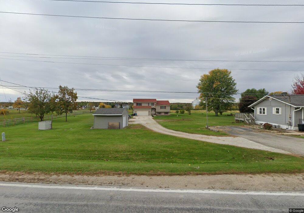
1930 N 2753rd Rd Ottawa, IL 61350
Estimated Value: $312,000 - $585,000
Studio
1
Bath
2,917
Sq Ft
$143/Sq Ft
Est. Value
About This Home
This home is located at 1930 N 2753rd Rd, Ottawa, IL 61350 and is currently estimated at $418,097, approximately $143 per square foot. 1930 N 2753rd Rd is a home located in LaSalle County with nearby schools including Rutland Elementary School, Ottawa Township High School, and Marquette Academy.
Ownership History
Date
Name
Owned For
Owner Type
Purchase Details
Closed on
Mar 4, 2007
Sold by
Daugherty Julie
Bought by
Daugherty Wayne
Current Estimated Value
Purchase Details
Closed on
Feb 25, 2005
Sold by
Daugherty Wayne S and Daugherty Julie A
Bought by
Daugherty Wayne S and Daugherty Julie A
Home Financials for this Owner
Home Financials are based on the most recent Mortgage that was taken out on this home.
Original Mortgage
$148,400
Interest Rate
5.71%
Mortgage Type
New Conventional
Create a Home Valuation Report for This Property
The Home Valuation Report is an in-depth analysis detailing your home's value as well as a comparison with similar homes in the area
Home Values in the Area
Average Home Value in this Area
Purchase History
| Date | Buyer | Sale Price | Title Company |
|---|---|---|---|
| Daugherty Wayne | -- | None Available | |
| Daugherty Wayne S | -- | None Available |
Source: Public Records
Mortgage History
| Date | Status | Borrower | Loan Amount |
|---|---|---|---|
| Previous Owner | Daugherty Wayne S | $148,400 |
Source: Public Records
Tax History
| Year | Tax Paid | Tax Assessment Tax Assessment Total Assessment is a certain percentage of the fair market value that is determined by local assessors to be the total taxable value of land and additions on the property. | Land | Improvement |
|---|---|---|---|---|
| 2024 | $7,615 | $86,957 | $8,469 | $78,488 |
| 2023 | $6,943 | $78,269 | $7,623 | $70,646 |
| 2022 | $6,608 | $73,783 | $7,186 | $66,597 |
| 2021 | $6,264 | $69,489 | $6,768 | $62,721 |
| 2020 | $5,963 | $66,925 | $6,518 | $60,407 |
| 2019 | $5,892 | $65,645 | $6,393 | $59,252 |
| 2018 | $5,666 | $64,087 | $6,241 | $57,846 |
| 2017 | $5,536 | $62,567 | $6,093 | $56,474 |
| 2016 | $5,381 | $61,551 | $5,994 | $55,557 |
| 2015 | $2,621 | $60,912 | $5,932 | $54,980 |
| 2012 | -- | $56,238 | $5,477 | $50,761 |
Source: Public Records
Map
Nearby Homes
- 5 Willow Way
- 9 Lilac Ln
- 5 Beech Tree Place
- 3 Beech Tree Place
- 6 Waterside Way
- 4 Port Place
- 3 Port Place
- 12 Great Loop W
- 2 Pelican Landing
- 44 Great Loop Dr
- 12 Cottage Green
- 13 River Row
- 11 River Row
- 12 Redbud Row
- 7 Willow Way
- 3 Dogwood Way
- 40 Waterside Way
- 13 Great Loop Dr
- 100 Great Loop Dr
- 23 Great Loop Dr
- 1928 N 2753rd Rd
- 1922 N 2753rd Rd
- 214 Great Loop Dr
- 200 Great Loop Dr
- 11-13 Great Loop Dr W
- 7 Beech Tree Place
- 9 Beech Tree Place
- 39 Great Loop Dr
- 2 Lilac Ln
- 2 Great Loop W
- 2 Great Loop W Unit CARRIAG
- 1910 N 2753rd Rd
- 4 Waterside Way
- 2 Waterside Way
- 10 Waterside Way
- 12 Waterside Way
- 14 Waterside Way
- 8 Waterside Way
- 16 Waterside Way
- 2 Port Place
Your Personal Tour Guide
Ask me questions while you tour the home.