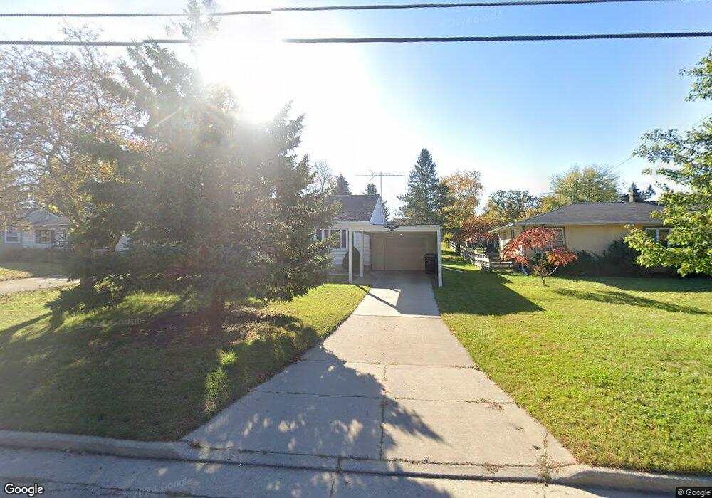
1930 Pershing Rd New London, WI 54961
Estimated Value: $195,000 - $243,000
--
Bed
--
Bath
--
Sq Ft
0.27
Acres
About This Home
This home is located at 1930 Pershing Rd, New London, WI 54961 and is currently estimated at $216,214. 1930 Pershing Rd is a home located in Waupaca County with nearby schools including Parkview Elementary School, New London Middle School, and New London High School.
Ownership History
Date
Name
Owned For
Owner Type
Purchase Details
Closed on
Jul 31, 2024
Sold by
Mathewson Peter J
Bought by
Jacobson Henry
Current Estimated Value
Home Financials for this Owner
Home Financials are based on the most recent Mortgage that was taken out on this home.
Original Mortgage
$139,900
Outstanding Balance
$138,317
Interest Rate
6.87%
Mortgage Type
New Conventional
Estimated Equity
$77,897
Purchase Details
Closed on
Mar 26, 2024
Sold by
Mathewson Lois M
Bought by
Mathewson Peter J
Create a Home Valuation Report for This Property
The Home Valuation Report is an in-depth analysis detailing your home's value as well as a comparison with similar homes in the area
Home Values in the Area
Average Home Value in this Area
Purchase History
| Date | Buyer | Sale Price | Title Company |
|---|---|---|---|
| Jacobson Henry | $179,900 | None Listed On Document | |
| Mathewson Peter J | -- | None Listed On Document |
Source: Public Records
Mortgage History
| Date | Status | Borrower | Loan Amount |
|---|---|---|---|
| Open | Jacobson Henry | $139,900 |
Source: Public Records
Tax History Compared to Growth
Tax History
| Year | Tax Paid | Tax Assessment Tax Assessment Total Assessment is a certain percentage of the fair market value that is determined by local assessors to be the total taxable value of land and additions on the property. | Land | Improvement |
|---|---|---|---|---|
| 2024 | $1,944 | $83,800 | $23,300 | $60,500 |
| 2023 | $1,944 | $83,800 | $23,300 | $60,500 |
| 2022 | $1,752 | $83,800 | $23,300 | $60,500 |
| 2021 | $1,770 | $83,800 | $23,300 | $60,500 |
| 2020 | $1,814 | $83,800 | $23,300 | $60,500 |
| 2019 | $1,772 | $83,800 | $23,300 | $60,500 |
| 2018 | $1,702 | $83,800 | $23,300 | $60,500 |
| 2017 | $2,066 | $83,800 | $23,300 | $60,500 |
| 2016 | $1,942 | $86,900 | $23,300 | $63,600 |
| 2015 | $2,022 | $86,900 | $23,300 | $63,600 |
| 2014 | $1,985 | $86,900 | $23,300 | $63,600 |
| 2013 | $2,035 | $86,900 | $23,300 | $63,600 |
Source: Public Records
Map
Nearby Homes
- 1801 Southland Ln
- 1835 Southland Ln
- 1931 Southland Ln
- 1930 Southland Ln
- 1605 Cedarhurst Dr
- 1802 Nassau St
- 610 W Pine St
- 102 E Cameron St
- 1420 Division St
- 1975 Penny Ln
- 2095 Abbey Rd
- 903 Smith St
- 2093 Abbey Rd
- 907 W Beacon Ave
- 1109 Algoma St
- 200 W Beacon Ave
- 408 Wallace St
- 0 Shawano St Unit 50295803
- 0 Shawano St Unit 50257475
- 803 W North Water St
- 1928 Pershing Rd
- 1934 Pershing Rd
- 1926 Pershing Rd
- 1942 Pershing Rd
- 1918 Pershing Rd
- 1943 Pershing Rd
- 1939 Southland Ln
- 1906 Pershing Rd
- 1951 Pershing Rd
- 1829 Walmer Ln
- 2002 Pershing Rd
- 1104 Robin St
- N6071 County Rd W
- 0 County Rd W
- 1907 Pershing Rd
- 2001 Pershing Rd
- 1835 Walmer Ln
- 204 Zacharey Ct
- 205 Zacharey Ct
- 1110 Robin St Unit 1112