1930 Route 9 Toms River, NJ 08755
Estimated Value: $1,229,164
3
Beds
1
Bath
1,161
Sq Ft
$1,059/Sq Ft
Est. Value
About This Home
This home is located at 1930 Route 9, Toms River, NJ 08755 and is currently priced at $1,229,164, approximately $1,058 per square foot. 1930 Route 9 is a home located in Ocean County with nearby schools including Ocean Academy Charter School and Ocean County Christian Academy.
Ownership History
Date
Name
Owned For
Owner Type
Purchase Details
Closed on
Jul 10, 2020
Sold by
Diversified Investment Group Inc
Bought by
1930 Lakewood Road Llc
Current Estimated Value
Purchase Details
Closed on
Aug 17, 2009
Sold by
Roppoli Jean F and Eastburn Pamela
Bought by
Diversified Investment Group Inc
Home Financials for this Owner
Home Financials are based on the most recent Mortgage that was taken out on this home.
Original Mortgage
$315,000
Interest Rate
6%
Mortgage Type
Purchase Money Mortgage
Purchase Details
Closed on
Nov 17, 2008
Sold by
Estate Of Sarah Louise Miller and Miller Douglas A
Bought by
Eastburn Pamela and Amatulli Kathleen
Purchase Details
Closed on
Jun 13, 2007
Sold by
Day Dorothy and Day Dorothy Miller
Bought by
Roppoli Jean F and Day Lorna
Purchase Details
Closed on
Jul 5, 2005
Sold by
Estate Of Douglass A Miller and Scott Robert A
Bought by
Miller Sarah Louise
Create a Home Valuation Report for This Property
The Home Valuation Report is an in-depth analysis detailing your home's value as well as a comparison with similar homes in the area
Home Values in the Area
Average Home Value in this Area
Purchase History
| Date | Buyer | Sale Price | Title Company |
|---|---|---|---|
| 1930 Lakewood Road Llc | $700,000 | Madison Title Agency Llc | |
| Diversified Investment Group Inc | $370,000 | Counsellors Title Agency Inc | |
| Eastburn Pamela | -- | None Available | |
| Roppoli Jean F | -- | None Available | |
| Miller Sarah Louise | -- | -- |
Source: Public Records
Mortgage History
| Date | Status | Borrower | Loan Amount |
|---|---|---|---|
| Previous Owner | Diversified Investment Group Inc | $315,000 |
Source: Public Records
Tax History Compared to Growth
Tax History
| Year | Tax Paid | Tax Assessment Tax Assessment Total Assessment is a certain percentage of the fair market value that is determined by local assessors to be the total taxable value of land and additions on the property. | Land | Improvement |
|---|---|---|---|---|
| 2025 | $78,807 | $4,325,300 | $1,680,000 | $2,645,300 |
| 2024 | $74,871 | $4,325,300 | $1,680,000 | $2,645,300 |
| 2023 | $5,171 | $310,000 | $310,000 | $0 |
| 2022 | $5,171 | $310,000 | $310,000 | $0 |
| 2021 | $5,723 | $229,100 | $140,000 | $89,100 |
| 2020 | $5,698 | $229,100 | $140,000 | $89,100 |
| 2019 | $5,450 | $229,100 | $140,000 | $89,100 |
| 2018 | $5,395 | $229,100 | $140,000 | $89,100 |
| 2017 | $5,359 | $229,100 | $140,000 | $89,100 |
| 2016 | $5,233 | $229,100 | $140,000 | $89,100 |
| 2015 | $5,045 | $229,100 | $140,000 | $89,100 |
| 2014 | $4,795 | $229,100 | $140,000 | $89,100 |
Source: Public Records
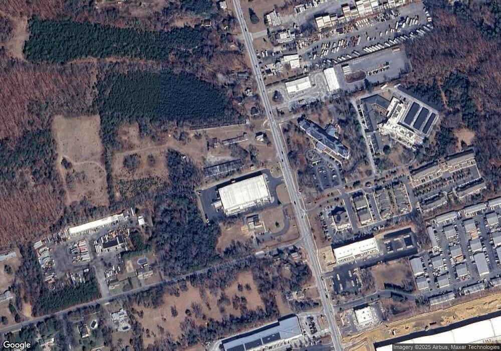
Map
Nearby Homes
- 170 Riverwood Dr
- 1088 Cox Cro Rd
- 1094 Cox Cro Rd
- 1004 Bal Harbor Dr
- 205 Liberty Bell Rd
- 529 Woodview Rd
- 1009 Bal Harbor Dr
- 1894 Charlton Cir
- 1008 Bal Harbor Dr
- 204 Edgemere Dr
- 2009 Coconut Grove Ct
- 2005 Coconut Grove Rd
- 1012 Bal Harbor Dr
- 1017 Bal Harbor Dr
- 1021 Bal Harbor Dr
- 2001 Coconut Grove Ct
- 1183 Cynthia Ln
- 1020 Bal Harbor Dr
- 2016 Coconut Grove Ct
- 2020 Coconut Grove Ct
- 1930 Lakewood Rd
- 1898 Lakewood Rd
- 308 Harvest Way
- 305 Harvest Way
- 407 Harvest Way
- 205 Harvest Way
- 304 Harvest Way
- 406 Harvest Way
- 1901 Lakewood Rd
- 1888 Route 9
- 401 Harvest Way
- 1956 Route 9
- 1876 Route 9
- 1876 Lakewood Rd
- 65 Riverwood Dr
- 601 Harvest Way Unit 301
- 601 Harvest Way
- 603 Harvest Way Unit 303
- 604 Harvest Way
- 602 Harvest Way