1930 S Channel Dr Harsens Island, MI 48028
Estimated Value: $387,258 - $458,000
3
Beds
1
Bath
1,672
Sq Ft
$252/Sq Ft
Est. Value
About This Home
This home is located at 1930 S Channel Dr, Harsens Island, MI 48028 and is currently estimated at $420,565, approximately $251 per square foot. 1930 S Channel Dr is a home with nearby schools including Algonac Junior/Senior High School.
Ownership History
Date
Name
Owned For
Owner Type
Purchase Details
Closed on
May 11, 2009
Sold by
Hildebrand Carl R and Hildebrand Beverly L
Bought by
Bryson David C and Bryson Nancy
Current Estimated Value
Home Financials for this Owner
Home Financials are based on the most recent Mortgage that was taken out on this home.
Original Mortgage
$184,000
Outstanding Balance
$116,568
Interest Rate
4.9%
Mortgage Type
New Conventional
Estimated Equity
$303,997
Create a Home Valuation Report for This Property
The Home Valuation Report is an in-depth analysis detailing your home's value as well as a comparison with similar homes in the area
Home Values in the Area
Average Home Value in this Area
Purchase History
| Date | Buyer | Sale Price | Title Company |
|---|---|---|---|
| Bryson David C | $230,000 | Devon Title Agency |
Source: Public Records
Mortgage History
| Date | Status | Borrower | Loan Amount |
|---|---|---|---|
| Open | Bryson David C | $184,000 |
Source: Public Records
Tax History Compared to Growth
Tax History
| Year | Tax Paid | Tax Assessment Tax Assessment Total Assessment is a certain percentage of the fair market value that is determined by local assessors to be the total taxable value of land and additions on the property. | Land | Improvement |
|---|---|---|---|---|
| 2025 | $5,631 | $199,700 | $0 | $0 |
| 2024 | $3,227 | $196,900 | $0 | $0 |
| 2023 | $3,109 | $182,900 | $0 | $0 |
| 2022 | $5,174 | $177,500 | $0 | $0 |
| 2021 | $4,893 | $173,900 | $0 | $0 |
| 2020 | $4,842 | $151,000 | $151,000 | $0 |
| 2019 | $4,766 | $141,500 | $0 | $0 |
| 2018 | $4,698 | $139,600 | $0 | $0 |
| 2017 | $4,407 | $158,700 | $0 | $0 |
| 2016 | $2,837 | $158,700 | $0 | $0 |
| 2015 | -- | $148,600 | $148,600 | $0 |
| 2014 | -- | $148,200 | $148,200 | $0 |
| 2013 | -- | $144,700 | $0 | $0 |
Source: Public Records
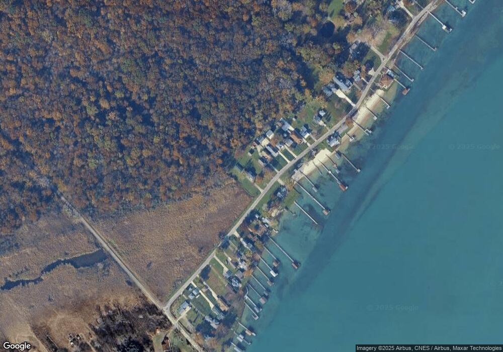
Map
Nearby Homes
- 106 Hazel & 1724 South Channel
- 1724 S Channel & 106 Hazel
- 1302 S Channel Dr
- 0 S Channel
- 199 La Croix Rd
- 374 Monroe Blvd
- 0 N Channel Dr Unit 50172349
- 3120 S Channel Dr
- 1125 N Channel Dr
- 3292 S Channel Dr
- 488 Lathrop St
- 429 Edgewater Dr
- 1600 N Channel Dr
- 408 Conley St
- 222 Newport St
- 701 Pointe Tremble Rd
- 00 N Channel Dr
- 00000 N Channel Dr
- 407-425 N Channel Dr
- 137 Druid
- 1926 S Channel Dr
- 1924 S Channel Dr
- 1920 S Channel Dr
- 1929 S Channel Dr
- 1910 S Channel Dr
- 1900 S Channel Dr
- 1880 S Channel Dr
- 1955 S Channel Dr
- 1870 S Channel Dr
- 1975 S Channel Dr
- 1985 S Channel Dr
- 2015 S Channel Dr
- 2045 S Channel Dr
- 1825 S Channel Dr
- 1825 S Channel Dr
- 2075 S Channel Dr Unit Bldg-Unit
- 2075 S Channel Dr
- 1815 S Channel Dr
- 2081 S Channel Dr
- 5800 S Channel Dr