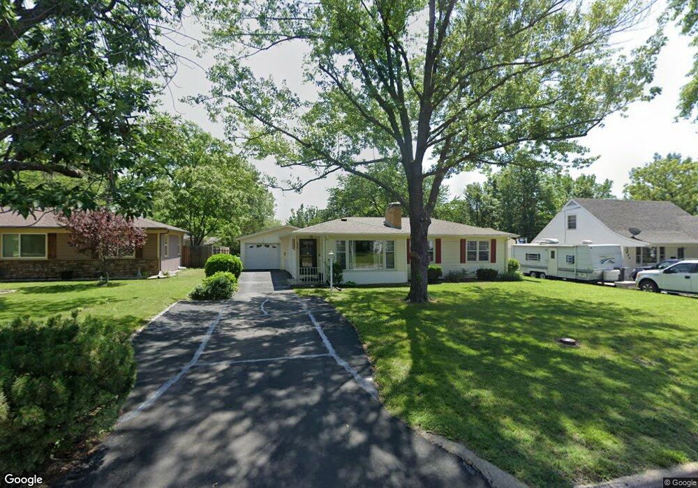
1930 SW Seabrook Ave Topeka, KS 66604
West Topeka NeighborhoodEstimated Value: $151,000 - $190,000
3
Beds
1
Bath
1,108
Sq Ft
$158/Sq Ft
Est. Value
About This Home
This home is located at 1930 SW Seabrook Ave, Topeka, KS 66604 and is currently estimated at $174,548, approximately $157 per square foot. 1930 SW Seabrook Ave is a home located in Shawnee County with nearby schools including Whitson Elementary School, Marjorie French Middle School, and Topeka West High School.
Ownership History
Date
Name
Owned For
Owner Type
Purchase Details
Closed on
May 8, 2024
Sold by
Williams Carol L
Bought by
Carol L Williams Revocable Living Trust and Williams
Current Estimated Value
Purchase Details
Closed on
Nov 20, 2007
Sold by
Kennedy Margaret M
Bought by
Williams Carol L
Home Financials for this Owner
Home Financials are based on the most recent Mortgage that was taken out on this home.
Original Mortgage
$93,100
Interest Rate
6.4%
Mortgage Type
New Conventional
Purchase Details
Closed on
Nov 8, 2007
Sold by
Kennedy Charles D and Kennedy Patricia A
Bought by
Williams Carol L
Home Financials for this Owner
Home Financials are based on the most recent Mortgage that was taken out on this home.
Original Mortgage
$93,100
Interest Rate
6.4%
Mortgage Type
New Conventional
Create a Home Valuation Report for This Property
The Home Valuation Report is an in-depth analysis detailing your home's value as well as a comparison with similar homes in the area
Home Values in the Area
Average Home Value in this Area
Purchase History
| Date | Buyer | Sale Price | Title Company |
|---|---|---|---|
| Carol L Williams Revocable Living Trust | -- | None Listed On Document | |
| Williams Carol L | -- | Kansas Secured Title | |
| Williams Carol L | -- | Kansas Secured Title |
Source: Public Records
Mortgage History
| Date | Status | Borrower | Loan Amount |
|---|---|---|---|
| Previous Owner | Williams Carol L | $93,100 | |
| Previous Owner | Williams Carol L | $93,100 |
Source: Public Records
Tax History Compared to Growth
Tax History
| Year | Tax Paid | Tax Assessment Tax Assessment Total Assessment is a certain percentage of the fair market value that is determined by local assessors to be the total taxable value of land and additions on the property. | Land | Improvement |
|---|---|---|---|---|
| 2025 | $2,386 | $17,692 | -- | -- |
| 2023 | $2,386 | $16,053 | $0 | $0 |
| 2022 | $2,066 | $13,959 | $0 | $0 |
| 2021 | $1,897 | $12,139 | $0 | $0 |
| 2020 | $1,784 | $11,560 | $0 | $0 |
| 2019 | $1,759 | $11,334 | $0 | $0 |
| 2018 | $1,708 | $11,004 | $0 | $0 |
| 2017 | $1,678 | $10,787 | $0 | $0 |
| 2014 | $1,746 | $11,107 | $0 | $0 |
Source: Public Records
Map
Nearby Homes
- 1738 SW Mission Ave
- 2021 SW Burnett Rd
- 1804 SW Burnett Rd
- 1809 SW Burnett Rd
- 2028 SW Stone Ave
- 1849 SW Arnold Ave
- 4305 SW Stratford Rd
- 1625 SW Lakeside Dr
- 4200 SW Stratford Rd
- 4401 SW Connemara Ln
- 4405 SW Connemara Ln
- 3636 SW Stratford Rd
- 2012 SW Westwood Dr
- 4828 SW 19th St
- 1609 SW Burnett Rd
- 4819 SW 20th Terrace
- 1529 SW Mcalister Ave
- 3115 SW 20th St
- 3110 SW 19th St
- 2031 SW Oakley Ave
- 1936 SW Seabrook Ave
- 1920 SW Seabrook Ave
- 1940 SW Seabrook Ave
- 1912 SW Seabrook Ave
- 1927 SW Mission Ave
- 1923 SW Mission Ave
- 1944 SW Seabrook Ave
- 1931 SW Mission Ave
- 1919 SW Mission Ave
- 1910 SW Seabrook Ave
- 1935 SW Seabrook Ave
- 2000 SW Seabrook Ave
- 1915 SW Mission Ave
- 1939 SW Seabrook Ave
- 1931 SW Seabrook Ave
- 1915 SW Seabrook Ave
- 1943 SW Seabrook Ave
- 1906 SW Seabrook Ave
- 2001 SW Seabrook Ave
- 2001 SW Mission Ave